Extreme flooding risk in coming days as Northern California storms swell rivers
San Jose officials were gearing up for the potential for the worst flooding to hit the San Francisco Bay Area’s most populous city since the surprise flooding in 2017 of Coyote Creek, which runs through the heart of San Jose and forced more than 14,000 residents out of their homes and flooded hundreds of homes.
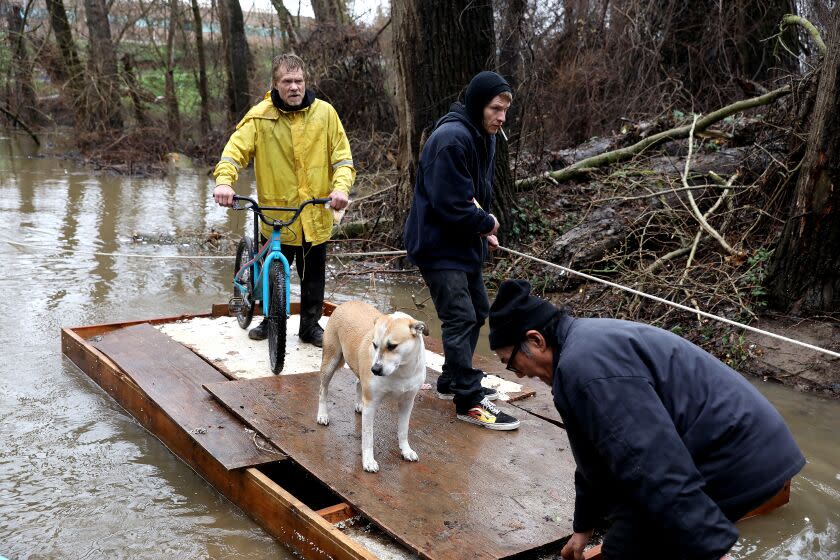
San Jose is one of several locations where flood risks have heightened considerably as a series of new storms barrel into Northern California this week, swelling rivers.
The National Weather Service warned of moderate flooding that could come to San Jose starting Monday morning. At the same time, the Guadalupe River at the Almaden Expressway was expected to exceed minor flooding levels at 9.5 feet and, by the afternoon hit a moderate flooding level of 11.5 feet.
At 9.5 feet, river water is expected to “overtop upstream of Alma Avenue Bridge into the Elks Lodge,” located just south of the Tamien station of the Caltrain commuter rail system.
At 11.5 feet, waters would spill north along Lelong Street, flood the viaduct at Highway 87 and Alma Avenue, and risks flooding properties in San Jose’s Northern Cross neighborhood.
San Jose officials on Sunday planned to send workers to communicate evacuation orders to unhoused residents along the Guadalupe River and Coyote and Penitencia creeks. The Santa Clara Valley Water District was monitoring the following locations for potential areas of flooding: Ross Creek at Cherry Avenue; Upper Penitencia Creek at Mabury and King roads; Berryessa Road; and the Upper Penitencia neighborhood; Guadalupe River at West Alma Avenue; and Canoas Creek in the Nightingale neighborhood and at Santa Teresa Boulevard.
“Threat to life is likely during these storms,” the weather service said in a bulletin. “Soils remain saturated, which means a high risk of flooding and shallow mud slides. Expect rapid rises in creeks and streams as well as rises in mainstem rivers. Periods of strong winds with gusts of 40 to 60 mph (potentially higher in the mountains) could lead to downed trees/power outages.”
Officials warned they were watching many rivers for possible flooding including the Russian River in Sonoma County at Guerneville, forecast to reach moderate flood stage, and at Geyserville; Mark West Creek near the community of Mirabel Heights; Laguna de Santa Rosa at Stony Point Road west of Rohnert Park. Other rivers of concern included Alameda Creek in northeastern Fremont and in the hills east of the city; Pacheco Creek southeast of Gilroy; San Lorenzo River north of Santa Cruz; the Pajaro River and Corralitos Creek around Watsonville in Santa Cruz County; and the Salinas River south of Salinas; the Carmel River along the Carmel Valley; the Big Sur River; and the Arroyo Seco south of Soledad.
In Mendocino County, the Navarro and Garcia rivers remain a flood threat and are already flooding highways. The Eel River near Arcata in Humboldt County is being closely monitored.
In the Central Valley flooding is expected on the Cosumnes, Mokelumne and Tuolumne rivers. Bear Creek bisects Merced and the creek could reach record flood levels, reaching 27.1 feet by Tuesday morning; the record is 24.65 feet in 2006.
Forecasters warned of a “relentless parade of cyclones” barreling out of the Pacific toward California, which was expected to intensify the risk of flooding in some parts of the state this week. A flood watch remains in effect for the Sacramento and San Joaquin valleys and nearby foothills until 4 p.m. Wednesday.
The first of five approaching atmospheric rivers — a stream of storms that will continue until about Jan. 19 — arrived this weekend. Heavy rain and mountain snow began late Friday night in Northern California and spread to Central California on Saturday, with some parts of the state expecting more than a foot of snow through early Sunday.
This story originally appeared in Los Angeles Times.

