Fall colors: Here are 7 places near Bloomington that aren't Brown County State Park
Crowds of people will soon head to the region to view the changing fall leaves, meandering the scenic roads through the hills of south-central Indiana, especially Brown County State Park and the nearby village of Nashville.
But for people in the know, there are other areas where crowds are unheard of and the colors are just as vibrant. According to the Farmers' Almanac, the best time to view fall foliage in southern Indiana is Oct. 12-28 (it's Oct. 5-21 for northern parts of the state).
Here's a few of the places you might want to visit.
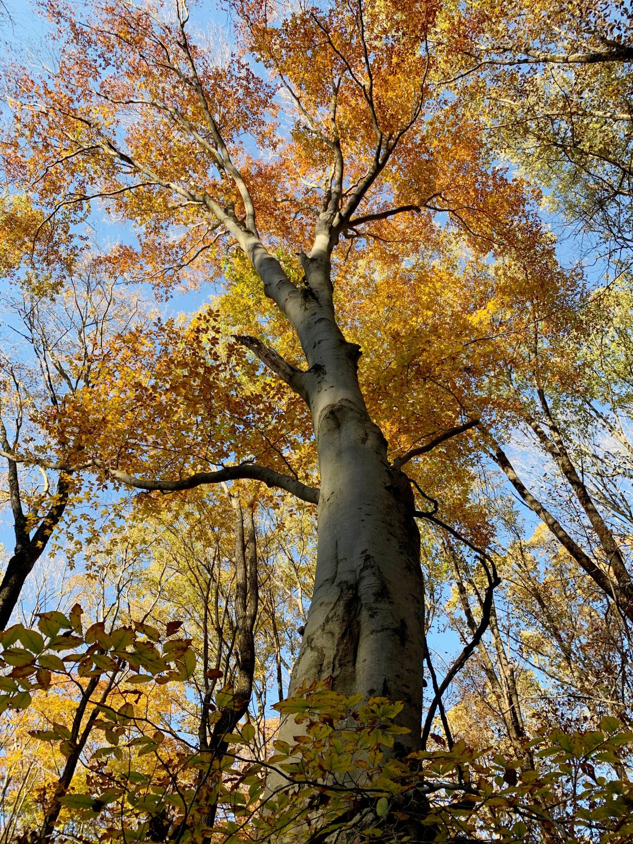
An alternative in Brown County: Laura Hare Nature Preserve
The Laura Hare Nature Preserve at Downey Hill in Brown County is one of the Sycamore Land Trust properties open to visitors, with a 5.5-mile loop constructed by Hoosier Hiker Council volunteers that wends through woods along ridges and into valleys. The gravel parking area has space for five vehicles. If the lot is full, move on because parking along Valley Branch Road or in nearby driveways is prohibited.
There is a loop offering an easy walk or a loop with a more rugged trail. To get there: drive east of Nashville on Ind. 46 toward Gnaw Bone. Turn right on Valley Branch Road and travel 1.5 miles. Turn left into the small gravel parking lot.
Put on those hiking boots: Yellowwood State Forest
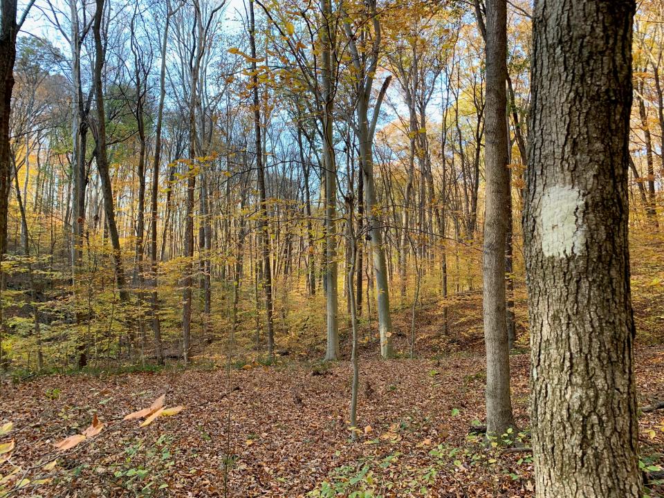
For a rugged hike in Brown County, go to Yellowwood State Forest, at 722 Yellowwood Lake Road. The High King Trail is only a half mile in length but it's steep, leading to scenic views near Yellowwood Lake. The trail connects with Scarce of Fat Trail, which begins below the lake's dam and is 4 miles in length, with part of it following fire trails. Stay on the path by watching for trail markers. Sound too hard? For an easier look at the trees, the Jackson Creek Trail is a self-guided interpretive trail that begins close to the forest office and is 1.5 miles long.
The trees have grown: T.C. Steele State Historic Site
T.C. Steele State Historic Site, also in Brown County, has hiking trails in the Selma Steele Nature Preserve. While T.C. Steele's paintings depict open fields near his Brown County home, there are now tall trees surrounding the house, which you can tour while you're there.
There are five trails in the nature preserve. Whippoorwill Haunt Trail is .75 miles long and ends when it connects with Trail 4, Woodpecker Trail, which is labeled as difficult because it goes uphill. From there, you can turn left, ending up at the stone arches located downhill from the House of the Singing Winds. If you choose to go right, you'll be on Inspiration Ridge Trail, which takes you to Trail 5 and the Remote Studio. It's an easy trail that's .25 miles long and begins at the parking lot north of the stone arches and loops back around if you don't want to go farther. T.C. Steele State Historic Site is at 4220 T.C. Steele Road.
Free on a weekday? Try Canyon Forest Nature Preserve
Canyon Forest Nature Preserve has limited parking, with room for six vehicles, so it's best to visit on a weekday or have another idea of where to hike if the lot is full. Parking is not allowed along the road or the nearby railroad right-of-way. The 68-acre site is at 13691 Edwards Road, Solsberry. (Be aware that according to Sycamore Land Trust, Google Maps has the wrong address). The state nature preserve has sandstone outcroppings, seasonal waterfalls and lots of tall trees along the ridges and ravines which the blazed trails traverse.
A fine outlook: Hickory Ridge Lookout Tower
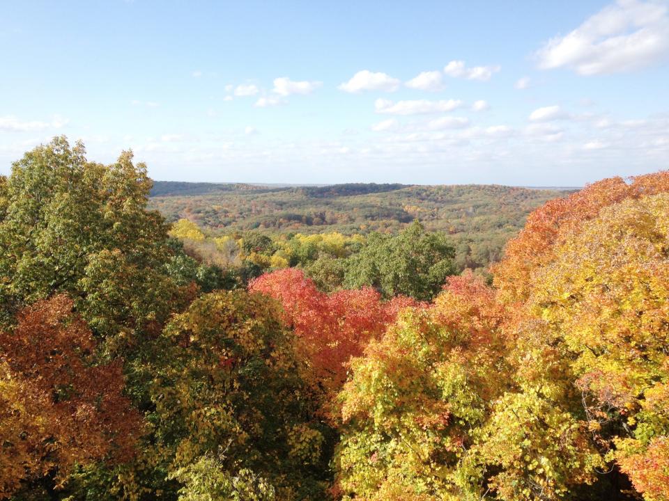
Venturing south of Bloomington, there's a fire tower with 133 metal steps in the Charles C. Deam Wilderness leading to spectacular views of the treetops reaching to the edges of Lake Monroe and beyond. The Hickory Ridge Lookout Tower is 110 feet tall and has a 7-foot cab at the top. For people wanting to hike more trails, the tower is near the start of the Axsom Branch Trail, which connects to the Sycamore Trail, one of the few hiker-only trails in the area. On the way to the tower, along Tower Ridge Road that is accessed off Ind. 446, you can also hike the Cope Hollow Trail or the Grubb Ridge Loop. Parking at the lookout tower is limited, as it is for the other trailhead locations, so have a couple of spots picked out just in case.
Near Tower Ridge: Timber rattlesnakes in Deam Wilderness captured on video in hypnotic dance for dominance
Reflections on the water: Trails at Lake Monroe
The Pate Hollow Trail offers a walk through wooded hillsides and scenic views of Lake Monroe. The trail is 7.7 miles and has an old service road that allows a shorter hike as well. The trailhead is in a parking lot behind the Paynetown State Recreation office on Ind. 446. When you start down the trail, make sure to stay to the right to remain on the Pate Hollow Trail. The Whitetail Trail, which is 1.7 miles long, will take off to the left.
Just a little farther south in the Fairfax State Recreation Area are trails, three of which are new and provide views of trees along the shoreline of Lake Monroe. Interpretive naturalist Jill Vance said one of the best for viewing fall colors is the new Quarry Extension Trail, which is an easy .82-mile out-and-back walk. The other trails are the Homestead Loop, 1.84 miles long, and the Osprey Outlook Trail, which is almost a mile in length and gives views near the lakeshore of the osprey nesting tower that was installed in October 2020. Note: This area has a gatehouse and will cost $7 for in-state and $9 for out-of-state vehicles to enter.
Safety improvements: Bloomington taking steps to address bike and pedestrian safety on B-Line
A recovering state park: McCormick's Creek has some trails open
Another state park worth considering is Indiana's oldest, McCormick's Creek State Park near Spencer. Even though some of the park's trails aren't fully open because of a tornado that swept through the area earlier this year, 3.6 miles of trails in the park can be accessed. Fully open trails include Trail 1 in McCormick's Cove Nature Preserve, Trail 4 with the fire tower and Trail 9 with Deer Run and the Peden Farmstead. People who would prefer riding horses can schedule a trail ride at the saddle barn.
Two other trails in the park are partially open. Trail 3, which goes near the waterfall is accessible from the falls parking area and the trail from Canyon Inn to the waterfall is open. The wooden trail structure is damaged and people should not go past closure signs. A portion of Trail 8, from the pool/nature center area is open. It is closed beyond Pine Bluff shelter. Note: Trail 5 and Wolf Cave are closed. Changes on which trails are open will be posted on the park's webpage as they occur.
Want to watch for peak leaf peeping?
For people who can't get out to enjoy the fall foliage, check out the Brown County Leaf Cam, located near the Brown County Inn in Nashville: www.browncounty.com/lp/leaf-cam/.
Contact Carol Kugler at ckugler@heraldt.com or 812-331-4359.
This article originally appeared on The Herald-Times: 7 uncrowded locations near Bloomington, IN, to see fall foliage

