'It will feel like a tropical depression': Forecasters warn about severe SW FL weather
The state started moving water across the South Florida Water Management District this week in anticipation of high rainfall associated with a strengthening El Nino phase.
Water Management District officials met Thursday in West Palm Beach during a scheduled governing board meeting, and the coming weather was on many people's minds.
"Saturday there is a low-pressure system in the Gulf of Mexico that’s going to rapidly spin up and come across south Florida," said district engineer John Mitnik. "The forecast is highly variably, depending on its track. The higher intensity rains we’re forecasting now are right along the urbanized areas and the southern portion of the district."
The big scare is that a one-two precipitation punch would flood parts of the 16-county district, which stretches from just south of Orlando to the Florida Keys and includes Lee and Collier counties.
The first waves of rain didn't produce what the district and some meteorologists expected, but more foul weather is headed this way.
"The good news is the forecast is for slightly less that it was yesterday," he said.
Weather during the 2023-24 winter and spring will be dominated a strong El Nino that already has its grips on Florida.
Chances of tornadoes enhanced
El Nino conditions tend to bring stronger, more frequent low-pressure systems, higher-than-average rainfall and a higher chance of turbulent weather like tornadoes.
This El Nino phase started in recent weeks and is expected to last into the spring or summer of 2024.
El Nino tends to suppress the formation of tropical storms and hurricanes, although the weather phenomena is not expected to impact the next hurricane season (which will run from June 1 through Nov. 30).
More: 'Mutual of Omaha's Wild Kingdom' host talks about filming here, panthers
The low-pressure system in the Gulf of Mexico was rotating just offshore Thursday.
It's expected to move across the state somewhere between the Big Bend and south Florida and bring several inches of rain, mostly on Saturday.
Fortunately for this coast, winds will be blowing out of the northeast.
Winds will impact tides
Winds will be strong enough (up to 40 miles per hour) to impact tides, with lower-than-forecast tides in Southwest Florida and higher-than-forecast tides on the East Coast.
Rain this year has not been evenly distributed across the state and the Southwest Florida coast is in a mild drought while parts of the East Coast have reported record rainfall.
Lee and Collier counties, on average, are about 13 inches below average for rainfall this year, and much of this coast has been gripped in drought much of the year.
More: Does El Nino impact SWFL weather? Some things to know
The National Weather Service in Miami is calling for the Naples area to get several inches between now and Sunday.
"The main period of rain for Naples will be on Saturday afternoon and evening with things clearing up by Sunday during the day," said NWS meteorologist Nick Carr. "There will be some light rain on Friday but, but the main show will be on Saturday and we're looking anywhere from a total of 1 to 3 inches and a little heavier rainfall to the east."
Winds, Carr said, will vary from 25 to 30 miles per hour, with gusts of 40 miles per hour being possible.
"It will feel like a tropical system, but obviously it's not," he said.
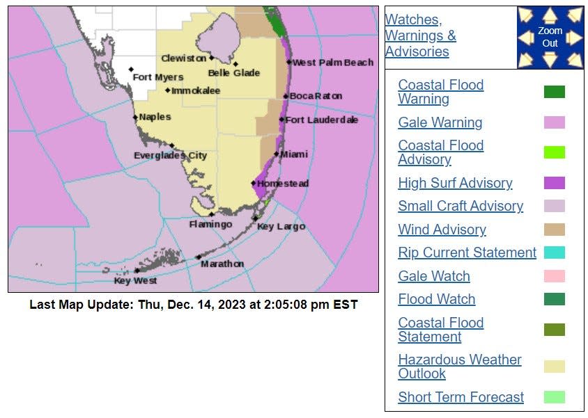
Rains, combined with excessively high high tides on the East Coast could contribute to localized flooding, Mitnik said.
Collier County sent out a public notice Thursday afternoon to warn residents of the impending weather.
The county operates a mass notification system that can be accessed at www.alertcollier.com, or by dialing 311 from within Collier County.
Connect with this reporter: Chad Gillis on Facebook.
This article originally appeared on Fort Myers News-Press: SW Florida forecast: Volatile weather in store including rain, gusts

