It feels like over 108 degrees in Bradenton-Sarasota. Weather service issues heat advisory
The National Weather Service has issued a heat advisory for almost the entire state of Florida, including Manatee County, beginning at 11 a.m. Wednesday and lasting into the evening.
National Weather Service meteorologist Rick Davis told the Bradenton Herald on Wednesday that while hot weather is no stranger to Florida, a number of factors have made conditions “extra hot.”
A typical summer heat index ranges from 95 to 105. A heat advisory is issued when the temperature surpasses 108 degrees.
Davis said a few places in Venice hit 112 degrees on July 4.
“We’ve had a little bit extra moisture coming off the Gulf of Mexico to produce these heat index values above normal,” Davis said.
There is some rain in the forecast for Wednesday, but it’ll be concentrated in the eastern parts of Manatee County and will do little to cool temperatures down in Bradenton’s core and along its shores.
In areas around Interstate 75 and toward the beaches, where most people live in the county, there will likely be a heat index of 108 to 112.
“When we start to see increased rain chance around in the area near I-75, that’s when we’ll see the heat index drop below 108. We’re expecting that maybe Friday but certainly through the weekend,” Davis said.
Davis said the heat advisory will be in effect from 11 a.m. until 7 p.m. Wednesday. They’ll reevaluate the data overnight, and if the heat index remains at 108 or higher, another heat advisory will be issued for Thursday.
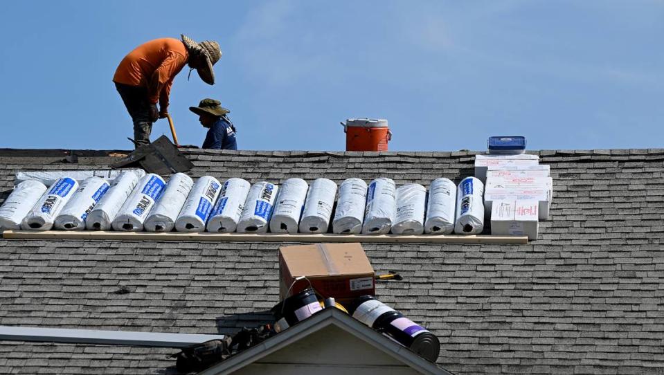
“We know it’s summertime, we know it’s warm and humid, in Florida usually but now it’s extra hot so need to take precautions if you’re outside,” Davis said.
Davis urges residents to “drink plenty of water and Gatorade-type drinks if you are outside, as well as limit alcohol consumption and sun exposure and try to stay in the shade.”
He said even getting out of the heat into an air-conditioned car can help the body cool down after being outside.
“But of course, never leave pets or children in a vehicle because it can heat up extremely fast,” Davis said. Unfortunately, We’ve seen a number of fatalities of people leaving people and pets in cars this year. We want to avoid that.”
According to noheatstroke.org, in 2023, nine children have died in the U.S. from being in hot cars. Four of those deaths happened in Florida.
July 4 was the hottest day on earth so far, breaking Monday’s record, according to data from the U.S. National Centers for Environmental Prediction. On July 3, the average global temperature reached 17.01 degrees Celsius (62.62 Fahrenheit). On July 4, it climbed to 17.18 degrees Celsius, or 62.9 Fahrenheit. The previous record of 16.92 degrees Celsius was set in August 2016.
The hot temperatures aren’t expected to cool down anytime soon in Bradenton.
“Could we see any significant improvement soon? Probably not,” the National Weather Service Tampa Bay tweeted Wednesday.
️ Heat Advisory in Effect from 11AM to 7PM Today, 07/05/2023 ️
"Feels-like" temperatures could climb as high as 110° today
Stay Hydrated
Limit outdoor activities
Seek shelter if storms threaten ️
Isn't this heat normal for this time of year? Thread below #flwx pic.twitter.com/hW9BputmEx— NWS Tampa Bay (@NWSTampaBay) July 5, 2023
Bradenton’s weather forecast
Wednesday: Scattered showers and thunderstorms, then showers likely and possibly a thunderstorm after 3pm. Sunny and hot, with a high near 96. Heat index values as high as 110. North wind 6 to 10 mph becoming west northwest in the afternoon. Chance of precipitation is 60%. New rainfall amounts of less than a tenth of an inch, except higher amounts possible in thunderstorms.
Wednesday night:Scattered showers and thunderstorms, mainly before midnight. Mostly cloudy, with a low around 79. West northwest wind 6 to 8 mph becoming east northeast after midnight. Chance of precipitation is 50%. New rainfall amounts of less than a tenth of an inch, except higher amounts possible in thunderstorms.
Thursday: Scattered showers and thunderstorms between 9am and 3pm, then showers likely and possibly a thunderstorm after 3pm. Mostly sunny and hot, with a high near 95. Heat index values as high as 109. West wind 5 to 10 mph. Chance of precipitation is 60%. New rainfall amounts of less than a tenth of an inch, except higher amounts possible in thunderstorms.
Thursday night: Showers likely and possibly a thunderstorm before 9pm, then scattered showers and thunderstorms after 9pm. Partly cloudy, with a low around 79. West wind 6 to 8 mph. Chance of precipitation is 60%.
Friday: Scattered showers and thunderstorms, then showers likely and possibly a thunderstorm after 3pm. Partly sunny, with a high near 94. West southwest wind 6 to 10 mph. Chance of precipitation is 70%.
Friday night: Showers likely and possibly a thunderstorm before 9pm, then scattered showers and thunderstorms after 9pm. Partly cloudy, with a low around 79. West southwest wind 7 to 9 mph. Chance of precipitation is 70%.
Saturday: Scattered showers and thunderstorms, then showers likely and possibly a thunderstorm after 9am. Partly sunny, with a high near 93. Southwest wind 7 to 11 mph, with gusts as high as 18 mph. Chance of precipitation is 70%.
Saturday night: Showers likely and possibly a thunderstorm before 9pm, then scattered showers and thunderstorms, mainly between 9pm and 3am. Partly cloudy, with a low around 80. West southwest wind 8 to 11 mph. Chance of precipitation is 70%.
Sunday: Scattered showers and thunderstorms, then showers likely and possibly a thunderstorm after 3pm. Mostly sunny and hot, with a high near 95. West southwest wind 7 to 11 mph. Chance of precipitation is 60%.
Sunday night: Showers likely and possibly a thunderstorm before 9pm, then isolated showers and thunderstorms after 9pm. Partly cloudy, with a low around 79. Chance of precipitation is 60%.