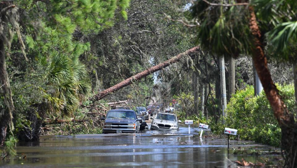
New FEMA flood maps for Sarasota County will update insurance requirements, risk levels
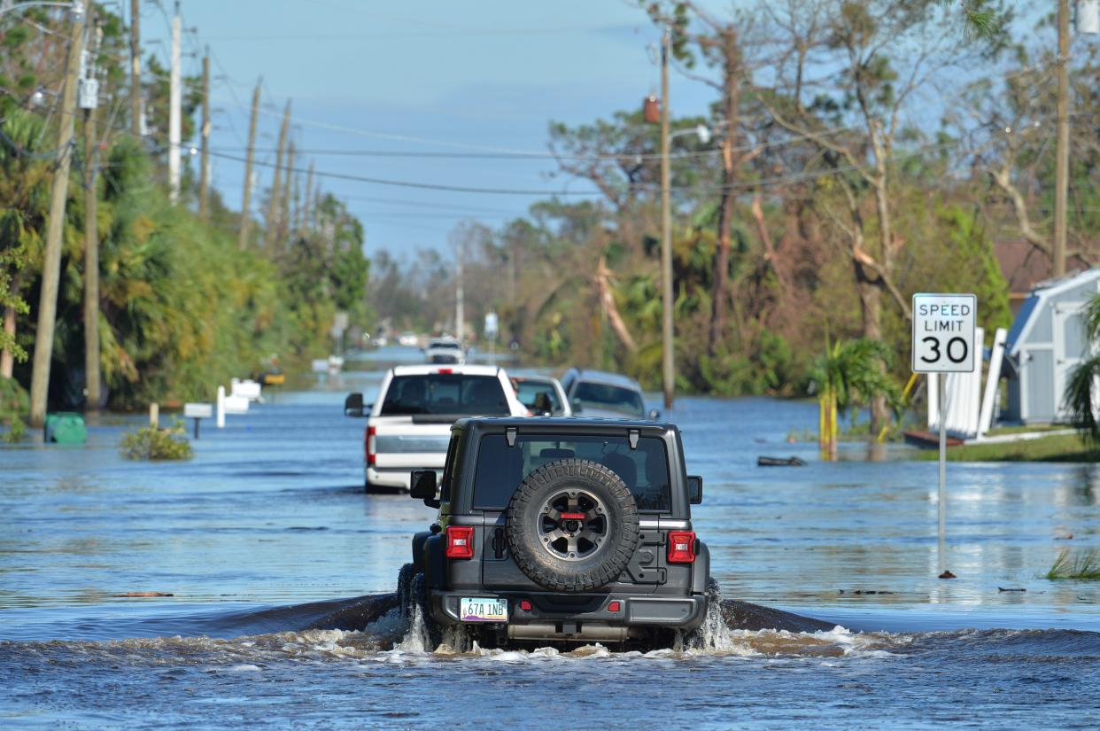
Federal officials have drawn new maps for Sarasota County, documenting areas vulnerable to flooding to inform homeowners of the dangers they face and also document possible insurance requirements for property owners with mortgages. The maps will take effect on March 27.
The Federal Emergency Management Agency maps determine properties’ risks and insurance requirements in high-risk flooding areas. The flood maps are not related to the county’s hurricane evacuation levels.
Noah Taylor, the county’s floodplain manager, was joined by several other Sarasota County officials at Fruitville Public Library for a recent workshop on the new maps. Residents would come in, take a number to hold their place in line, like at a deli counter, to meet with a representative who walked them through how their property will be designated.
Taylor said 30-40% of unincorporated Sarasota County is in a special flood hazard area – defined by FEMA as a higher-risk area with at least a 1 in 4 chance of flooding over a 30-year mortgage. Those who own property in special hazard areas – zones marked with an “A” or “V” - and have a federally regulated or insured mortgage are required to buy flood insurance.
More than 10,000 people will be zoned out of special hazard areas, and about 5,000 will be newly included in them under the updated maps.
“Net overall, more people came out of the special flood hazard areas that went in,” Taylor said. “That can be attributed to better drainage that the county is doing, planned development, or the fact that the data is better and they have just accounted for errors.”
Taylor said he feels the new maps, which hadn’t been updated since 2016, are more accurate than earlier versions. The county official said FEMA wanted to update the maps in 2019, but their “data was bad,” so the county worked with the agency on revisions.
“FEMA has a group that comes in, and they’ll run a whole bunch of data models and use the U.S. Army Corps of Engineers to generate these maps,” Taylor said. “They’ll give them to the county, we read and review them, and if we have better data, we will often submit that.”
County officials will hold their next workshop on the maps at the Frances T. Bourne Jacaranda Library from 4 p.m. to 7 p.m. on Feb. 28. It will be followed by a virtual session over Zoom (the meeting ID is 832 9202 7798) from 5 p.m. to 6 p.m., March 13.
This article originally appeared on Sarasota Herald-Tribune: FEMA updates Sarasota County flood maps for insurance, risk purposes

