FEMA hardball: Terrebonne has choice, adopt new maps or lose insurance, officials say
The Federal Emergency Management Agency is playing hardball with Terrebonne Parish, threatening to withhold flood insurance to encourage the Parish Council to adopt flood maps.
Maps that determine the minimum base flood level for properties throughout the parish will go before the Terrebonne Parish Council Wednesday, Aug. 23, and must be adopted before Sept. 7. If they are not adopted, the parish as a whole could be denied insurance through the National Flood Insurance Program, officials say.
"If Terrebonne Parish refuses to adopt the Flood Insurance Rate Maps or comply with the federal regulations that govern construction in a Special Flood Hazard Area, FEMA will consider the parish to be in violation of the National Flood Insurance Program’s floodplain management requirements," Congressman Garret Graves wrote in an emailed letter sent to Terrebonne Parish President Godry Dove. "If not remedied, such a violation would lead to FEMA’s initiation of enforcement action against the community, including suspension from the National Flood Insurance Program."
The problem, officials say, is that the data on the flood maps being voted on is two years behind.
According to Terrebonne Parish Planning and Zoning Director Christopher Pulaski, discussions about these maps have been ongoing since 2008, and because it takes months for the computer modeling to interpret the data, FEMA created a cut off point of July 2019.
Projects that lacked substantial completion at that time were not included. The maps from July 2019 are being voted on Aug. 23.
"Now, in a normal world, in a normal process, we would have gotten the maps some time in early June of 2020, but COVID came along, and you know what that brought about - but still, nothing after July 2019 is eligible for the model," Pulaski said.
According to Dove, adopting the maps is just a formality, because once the maps are adopted, Terrebonne Parish still has the opportunity to appeal or amend discrepancies they find.
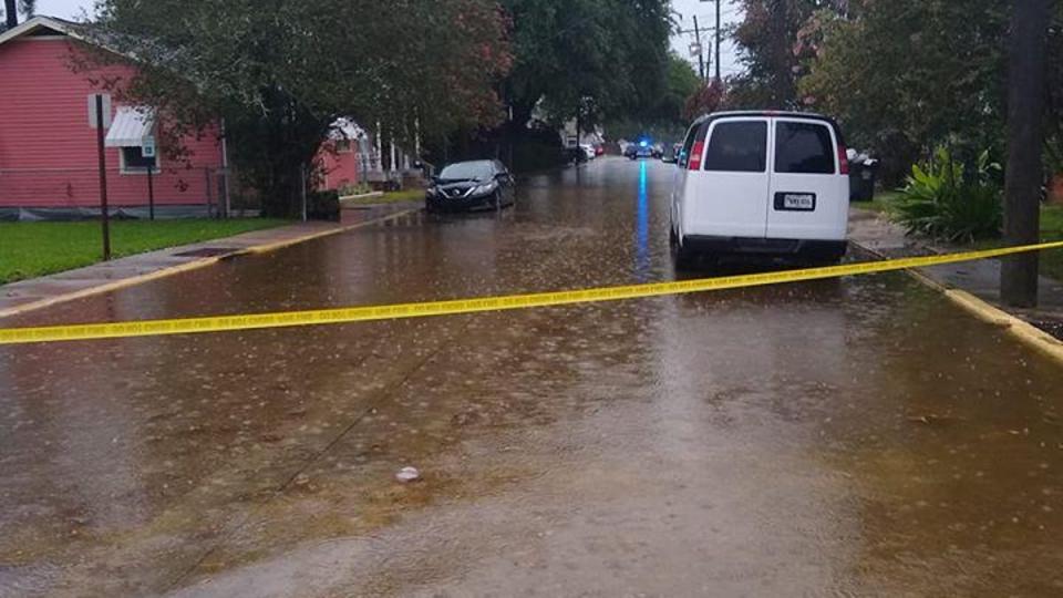
However, the maps affect flood insurance rates, and anyone who renews or purchases a policy after the maps are adopted will be doing so under the new data. Most of Terrebonne Parish was placed into high-risk or special-risk zones. Homeowners in these areas with federally backed mortgages must purchase flood insurance as a condition of their loans. Similarly, those who have received federal disaster assistance also must maintain flood insurance to receive any future assistance.
Old Maps and Decades of Delay
The Terrebonne Parish Consolidated Government currently operates on a patchwork of flood maps from 1985, 2006, and drafts of the maps set to be adopted. The parish government has been working with FEMA for about 14 years to come up with maps that accurately reflect the current flood zones of Terrebonne Parish.
Pulaski said FEMA usually issues new flood maps every decade, but delayed it for Terrebonne because of flood protection projects actively being created.
Adopting the current drafts would allow Terrebonne to retire the older, outdated maps, some of which are hand-drawn.
"We currently have three sets of maps on file in our office," Pulaski said. "Some of them are from 1985, ones from 2006, and then we have the DFIRM."
The DFIRM, or digital flood insurance rate map, are drafts of the maps set to be adopted.
"Once these new maps are adopted, then we can archive those old maps, and this becomes the only set of maps we have to refer to," he said.
More: Cassidy says Trump should drop out as former president's popularity surges in Louisiana
More: Hurricane recovery among top issues for Terrebonne Parish Council District 3 candidates
The map of Terrebonne is divided into approximately 48 panels, not uniform but made for ease of reading. These panels are measured against the 100- and the 500-year storm. A 100-year storm is a scenario that has a 1% chance of happening in a given year. The 500-year-storm is worse, with a .2% chance of occurring.
Why the missing data?
Moving forward from the July 2019 cut off point, the maps to be voted on were produced by FEMA in June of 2021. Officials from Terrebonne Parish pointed out missing data from 11 panels. FEMA revised them by October of the same year and put them out for public comment; however, a monumental event struck Terrebonne during that time.
"Obviously something happened between June of 2021 and Oct. 8 of 2021," Pulaski said, referring to Hurricane Ida. "We were, and obviously the entirety of south Louisiana, were in a different mindset at that time, but FEMA still said your 90 day public comment period still starts."
The maps and other relevant data was provided to the public for open comment from Aug. 9, 2022, to Nov. 7, 2022. According to a spokesperson with FEMA, they received no comments.
The process advanced, and the parish government objected to the data that was two years out of date, with projects from July 2019 through October 2021 not included.
According to Pulaski, the objections have remained in place since that time, and FEMA has responded with two reminders of the September deadline, one in March and another in May of 2023.
"So here we are," Pulaski said. "And the May 30 letter basically said if you don't adopt them, then what is likely to happen is your community could be suspended from the National Flood Insurance Program, which is a very bad thing, because then you won't be able to get flood insurance policies written."
This article originally appeared on The Courier: FEMA says Terrebonne Parish has choice adopt new maps or lose insurance

