Thousands of flights canceled as 10 million under blizzard warnings along East Coast
Thousands of flights were canceled and 10 million people along the East Coast were under blizzard warnings Friday as a major winter storm began to move across the region.
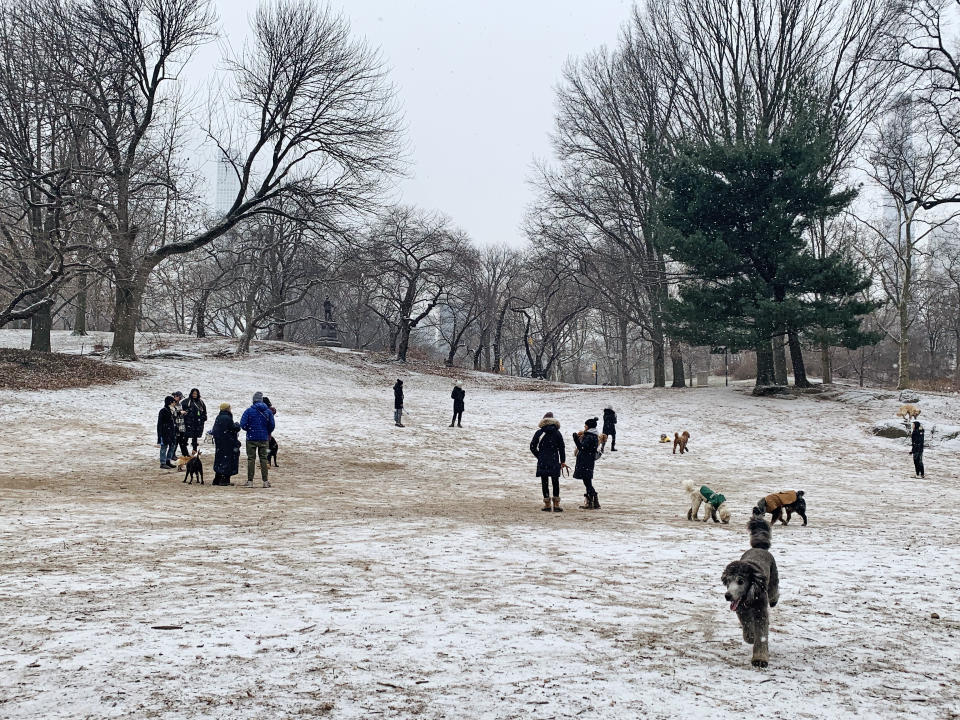
Snow was falling on the New Jersey shore and in Times Square late Friday, but forecasters predicted the heaviest snow impacts Saturday.
The storm could bring more than 2 feet of snow to New England and disrupt cities stretching from Virginia to Maine. The blizzard warnings are the first most of the East Coast has seen in four years.
More than 68 million people were under winter weather alerts of all kinds early Saturday, according to the National Weather Service, and the storm prompted emergency declarations and pleas to stay home and off roads.
More than 3,300 flights for Saturday within, into or out of the U.S. had been canceled by Friday night, according to tracking website FlightAware. The most impacted airports were near cities the storm's path: New York, Boston, and Philadelphia.
Boston, which could get 2 feet of snow, declared a snow emergency and Massachusetts Gov. Charlie Baker urged residents to stay home.
“This has the potential to be a historic storm — a huge one,” Boston Mayor Michelle Wu said at a Friday news conference. The city was under a blizzard warning and there could be 40 to 50 mph winds.
The latest projections come as major forecast models finally came into better agreement early Friday, predicting a storm track closer to the coast resulting in increased snowfall forecasts for all locations from Washington to Boston.
On Friday, a cold front is expected to bring light to moderate snow to portions of the mid-Atlantic and the Northeast. This snow is not associated with the nor'easter.
By Friday night, the snow associated with the intensifying coastal storm was expected to begin along coastal areas in the mid-Atlantic and spread north, increasing in coverage and intensity. Winds will also increase as will the risk for coastal flooding.
Saturday continues to be the highest impact day from New York to Boston with the heaviest snow coinciding with the strongest winds, gusting up to hurricane force at times. Snow will end by midday for New York and during the evening hours for Boston.

By Sunday, all snow will be off the Maine coast by midmorning but gusty winds could cause blowing snow throughout the day.
The highest snow totals will be across extreme eastern Long Island, eastern Massachusetts and coastal Maine. Southeast Massachusetts, especially, is where up to 2 to 3 feet of snow could fall. This is also where the strongest winds will be and where power outages will be most likely.
Washington will see light snow starting Friday night and a total of 1 to 3 inches is expected. Philadelphia will likely see a little more with 4 to 8 inches of snow expected. New York could see as much as a foot, with wind gusts up to 50 mph. Boston will be the heaviest hit city on the East Coast with between 18 and 24 inches of snow expected.
Amtrak canceled Acela service between Boston and Washington, D.C., and Northeast Regional Service between Boston and New York, for Saturday.
In a statement Friday afternoon, Homeland Security Advisor Elizabeth Sherwood-Randall said the agency will be monitoring the storm’s impact and working with FEMA to prepare any necessary federal assistance.
Gov. Phil Murphy declared a state of emergency across New Jersey beginning at 5 p.m. Friday.
The anticipated storm is forecast "to bring heavy snowfall and high wind gusts statewide, with blizzard conditions in some areas of New Jersey,” he said in a statement Friday afternoon. “Residents should take extreme caution, stay off the roads, remain vigilant, and follow all safety protocols.”
Officials also said in the statement that the storm has the potential to cause a “significant number of power outages" due to the substantial snow and the high winds that were forecast.
New York Gov. Kathy Hochul called the storm “deadly serious” at a news conference Friday afternoon and urged people to stay indoors. Hochul, who declared a state of emergency effective 8 p.m. Friday, asked New Yorkers to get through their workday on Friday and make the necessary preparations ahead of the worsening conditions, warning that “the best way to handle this is stay home.”
Around 9 inches of snow could fall in New York City and around 18 inches of snow could blanket eastern Long Island, forecasters said.
Some New Yorkers took the impending storm in stride. Jennifer Pinto was at a Trader Joe’s to stock up and says she’s OK if forecasts for heavy snow are correct.
“I kind of hope so, because then it means I get to stay home and just be cozy,” Pinto said.
In North Carolina, which is recovering from two recent winter storms, Gov. Roy Cooper on Friday told residents to "please stay put" if they live in areas where it will be dangerous to go outside Saturday morning.
In addition to the nor'easter, the dangerous cold gripping much of the East, including all the way down to South Florida, will also be a major weather story this weekend.
The next arctic blast will affect the Midwest, the Northeast and the Southeast beginning Friday and lasting through Saturday, with high temperatures forecast to be 10 to 20 degrees below average.
By Sunday, the cold air will spill all the way to South Florida where cities such as Jacksonville, Orlando and Miami could experience their coldest temperatures in years.
With Miami's low forecast to drop into the upper 30s Sunday morning, that will be the coldest temperature it has experienced since December 2010.

