Mississippi weather: Heavy rain is expected Friday night into Saturday morning
Follow here as we cover the possibility of extreme weather in Mississippi.
Friday, 9:30 a.m.
Heavy rainfall is expected Friday night into Saturday morning. Low lying areas could experience flooding, MEMA said. Highs will be in the mid 60s to near 70. There were areas of dense fog during the early morning.
Dense fog in Greenville, MS this morning causing visibility to be less than a 1/4 of a mile. Slow down, turn your lights on and be careful. @weatherchannel @NWSJacksonMS #fog pic.twitter.com/skSF7dua0J
— Charles Peek (@CharlesPeekWX) January 26, 2024
Thursday, 12:45 p.m.
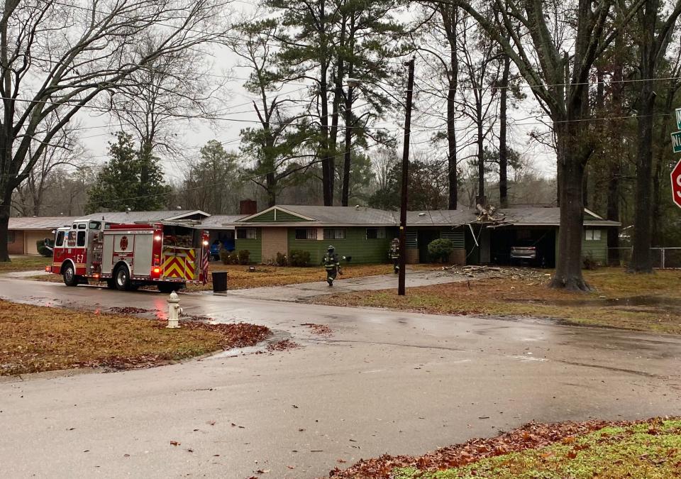
One weather-related death has been reported in relation to recent heavy rains and flash flooding as Mississippi braces for more rain over the next several days, Mississippi Emergency Management Agency said in a Thursday press release.
The one weather-related death was reported to MEMA by the Pearl River County Emergency Management Office, according to the MEMA press release.
Thursday, 9 a.m.
More heavy rainfall may result in significant flash flooding Thursday in southwest and central Mississippi, the National Weather Service said. Flash flooding of low-lying areas is likely, especially in the morning into the early afternoon hours. Isolated severe storms with damaging winds can’t be ruled out.
A flash flood warning is in effect for Jackson, Clinton and Pearl, Miss. until 2:45 p.m.
SIGNIFICANT FLASH FLOODING AND SEVERE STORMS POSSIBLE!
Part of the state is now facing a significant threat of flash flooding. Please don't try to drive through flood waters!
There's also a severe storm threat for a large portion of the state. Tornadoes cannot be ruled out! pic.twitter.com/o6TIVV3FJ1— msema (@MSEMA) January 25, 2024
Wednesday, 3:30 p.m.
A flash flood warning continues for Crystal Springs, Hazlehurst and Bude until 5 p.m. A flash flood warning continues for Meridian, Newton and Collinsville until 6:30 p.m.
Wednesday, 12:20 p.m.
All lanes of Mississippi highway 43 between Merit Welch Road and Boggan Ridge Road in Simpson County is closed due to flooding.
Wednesday, 11:28 p.m.
A tornado warning was issued for Pike and Walthall counties until 11:30 a.m., according to MSEMA.
The forecast has been upgraded to show significant flash flooding possible for a large portion of the state, but the entire state could see some flash flooding.
Stay out of flooded areas and remember turn around, don't drown!!! pic.twitter.com/9k83Z9mO0W— msema (@MSEMA) January 24, 2024
Wednesday, 10:30 a.m.
A flash flood warning continues for Jackson, Clinton and Pearl until 12:15 p.m.
The Mississippi Emergency Management Agency says central and south Mississippi should be on alert Wednesday for severe storms. Damaging winds, heavy rain, and tornadoes can't be ruled out.
Wednesday, 7:30 a.m.
A flash flood warning is in effect for Jackson, Clinton and Pearl, Miss. until 10:15 a.m., the National Weather Service said.
Multiple rounds of heavy rainfall will occur through Thursday. Rainfall amounts of 3 to 6 inches with locally heavier amounts are expected, resulting in areas of flash flooding and possible road closures. Isolated severe storms will be possible Wednesday across central and southern portions.
Tuesday, 2:30 p.m.
Numerous showers and some thunderstorms are expected Tuesday night and into the early morning hours of Wednesday. Low temperatures will range from the middle 50s to lower 60s.
Isolated severe storms capable of producing damaging wind gusts and hail are possible Wednesday from the mid-morning into evening hours, mainly along and south of the Interstate 20 corridor.
Tuesday, 12:30 p.m.
Flash flooding and river flooding are increasingly likely in Mississippi on Wednesday and Thursday as multiple waves of rainfall are anticipated, the National Weather Service said.
Rainfall amounts of four to eight inches are expected across much of the state and locally higher amounts will be possible. Some roads may be flooded or closed, the Mississippi Emergency Management Agency said.
❗The Flood Threat is at an "Elevated" risk for most of the state. This means areas could see 4-8" of rain or higher. Flash flooding is likely, and some roads may be flooded or closed. It's important to listen to local officials and DO NOT drive around barricades. pic.twitter.com/2itiTvP6Jq
— msema (@MSEMA) January 23, 2024
The Mississippi Department of Transportation reminds motorist not to drive through flooded areas.
Take these precautions, MEMA says
Stay weather aware
Know where to go in case you need to evacuate
Identify alternate routes to your destinations in case of flooded roads
This article originally appeared on Mississippi Clarion Ledger: MS weather: Heavy rain expected Friday night into Saturday morning

