Flood watch issued for North Jersey as heavy rains are expected Saturday
The National Weather Service in New York issued a flood watch for much of the metropolitan region as showers rolled through on Saturday.
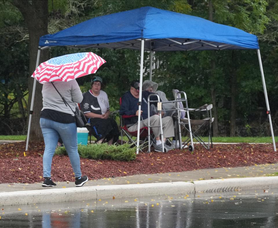
In Clifton, a portion of Route 3 was once again closed due to flooding early Saturday, as Passaic County was particularly hard hit by the storm. Shortly before noon, NWS officials issued a flood advisory until 3 p.m. for most of northwest Passaic County from Pompton Lakes to West Milford due to a late morning deluge that continued early into the afternoon.
More than an inch of rain fell on West Milford by 1 p.m. Friday, roughly half of it came after 11 a.m., according to NWS estimates. The storm also saturated Sussex County. Parts of Wantage and Vernon seeing roughly 1.5" of rain between 1 a.m. and 1 p.m.,
Where could North Jersey see flooding?
Included in the flood watch, which was issued early Saturday morning and extends into the evening are:
Eastern and western portions of Bergen County
Eastern and western portions of Passaic County
Eastern and western portions of Essex County
Eastern and western portions of Union County
All of Hudson County
[Sat 6:45 AM] Scattered showers continue to develop this morning and will expand in coverage as a cold front approaches from the west.
A Flood Watch remains in effect for NYC, northeast NJ, the lower Hudson Valley, southwest CT, and western Long Island. #TurnAroundDontDrown pic.twitter.com/mHtXZGoDAY— NWS New York NY (@NWSNewYorkNY) October 7, 2023
New York City, Long Island, and Westchester, Rockland, Orange and Putnam counties in New York were also under flood watch.
Storm's impact
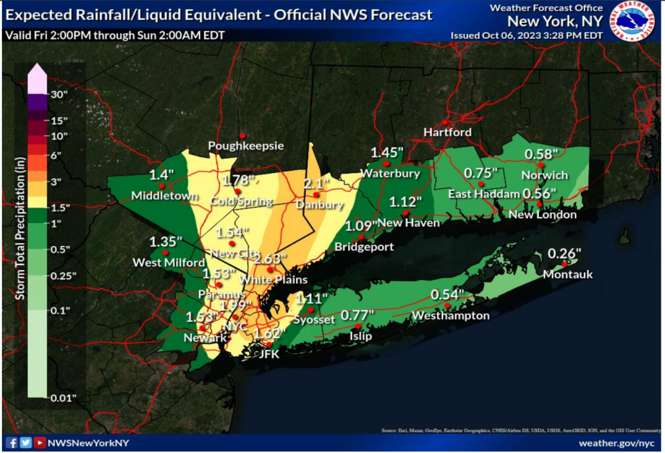
NWS forecasters said as much as 1 to 1.5 inches of rain was expected Saturday, with local totals reaching as high as two or three inches.
Rain was expected to fall at a rate of 1 to 2 inches of water per hour during the heaviest bands of rain, which is intensifying as a cold front approaches the Atlantic coast from the west.
The NWS said that execessive runoff could prompt high water levels in rivers and streams and that low-lying or otherwise flood-prone areas could be impacted. Flooding may also occur in urban areas and in parts of northern New Jersey that have poor drainage, forecasters warned.
"If and where the heaviest rainfall rates develop, the flooding could be locally significant, causing disruption to transportation, flooding of basements, first floor residences and buisnesses, and underground infrastructure, posing an elevated threat to life," the NWS said.
This is a developing story. Check back for updates.
This article originally appeared on NorthJersey.com: Flood Watch: North Jersey expecting heavy rain Saturday

