Florida braces for heavy rain and wind. Are floods and tornadoes coming?
After seeing days of wind and heavy surf, Florida is about to get the heavy stuff from a dangerous system moving in from the Gulf of Mexico.
Weather forecasters are calling for severe thunderstorms, localized flooding and isolated tornadoes through the weekend beginning Saturday afternoon as a low pressure system brings the potential for havoc from the Big Bend to Miami. Winds could reach as high as 45 mph, which would qualify as tropical storm strength.
"In addition to the risk of flooding rainfall, thunderstorms will pose a risk for damaging wind gusts and tornadoes Saturday night in Florida," AccuWeather Meteorologist Brandon Buckingham said.
Heavy rains were battering Southwest Florida on Saturday morning, and flood watches and warnings were in place across Florida through Sunday. Dangerous rip currents and hazardous surf conditions are forecast up and down the Atlantic and Gulf coasts.
The system is forecast to move over the west coast of Florida on Saturday night, the National Weather Service said, moving northeast to South Carolina by Sunday evening and the Delaware coast by Monday.
Florida Gov. Ron DeSantis activated the Florida State Guard in anticipation of the dangerous storms this weekend. He also said he told the Division of Emergency Management "to prepare flood response and prevention equipment and instructed Floridians to plan for flooding, strong wind gusts, and isolated tornadoes."
The promise of severe weather led to several holiday events being canceled or postponed across Florida.
AccuWeather forecasters said it's possible the chances of tornadoes could peak after dark, making the threat more dangerous because it's difficult to see. The NWS warned that waterspouts will be possible over inland lakes, the Intracoastal Waterway or open waters.
A second line or cluster of thunderstorms could be ongoing early Sunday morning from Naples to Vero Beach, according to AccuWeather. Any storms that develop there could also produce strong wind gusts and tornadoes, AccuWeather said.
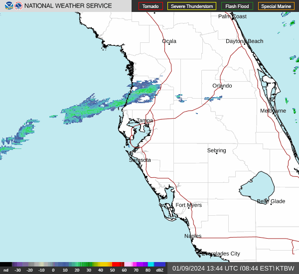
Florida weather radar
Will the Florida storms affect holiday travel?
After drenching the east Florida coast, moisture from the storm is expected to move up the East Coast this weekend with heavy rain.
AccuWeather shows the risk of severe thunderstorms stretching up the coast from Northeast Florida through the Carolinas on Sunday. The storms are expected to impact the coast all the way to New England.
What is the wind forecast? Will the storms reach tropical storm wind speed?
Winds are expected to gust as high as 45 mph across the East Coast, according to the NWS. That's as strong as a tropical storm. As the system moves north, wind gusts could reach as high as 60 mph, according to AccuWeather.
On the Beaufort scale, which measures windspeeds and damage effects, 30-40 mph gusts are considered "near gale" putting "whole trees in motion" and a difficulty in walking against the wind. Structural damage isn't expected until winds get up to 47-54 mph. You may want to take care of small loose items in the yard.
Will there be a Florida cyclone? Are we getting a late hurricane?
The wind speeds may creep into low tropical storm territory but the National Hurricane Center is not tracking it as any sort of tropical system. But on the coast, it may feel like it.
"There is a slight chance the storm will acquire some tropical characteristics because of the time it spends over the warm waters of the Gulf of Mexico late this week," AccuWeather Director of Forecasting Operations Dan DePodwin said.
This article originally appeared on Treasure Coast Newspapers: Weather in Florida today: Thunderstorms, isolated tornadoes forecast
