Cold overnight with wind chills near zero; Warmer temperatures this weekend
QUICK-LOOK FORECAST:
Chills near zero overnight
Warmer and windy Sunday
Rain returns Tuesday
>> TRACK THE CONDITIONS WITH LIVE DOPPLER 7
DETAILED FORECAST:
TONIGHT: Storm Center 7 Chief Meteorologist McCall Vrydaghs says skies begin to clear out overnight and temperatures fall back to the lower teens.
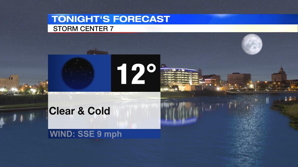
It will still be breezy, so wind chills will likely dip close to zero by daybreak.

TOMORROW: Another very cold morning in the low teens with wind chills near zero to start.
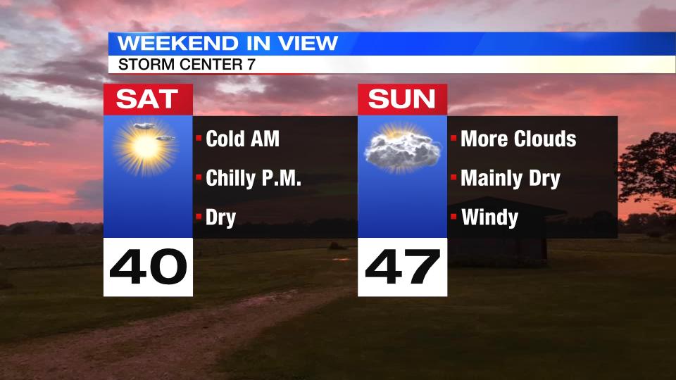
Winds will pick-up through the day, but as they have shifted out of the south the temperatures will begin to climb. Highs Saturday afternoon will reach 40 degrees with mostly sunny skies, but winds will make it feel a bit colder.
Clouds increase Saturday night, but staying dry. Not as cold with a low in the middle 30s.
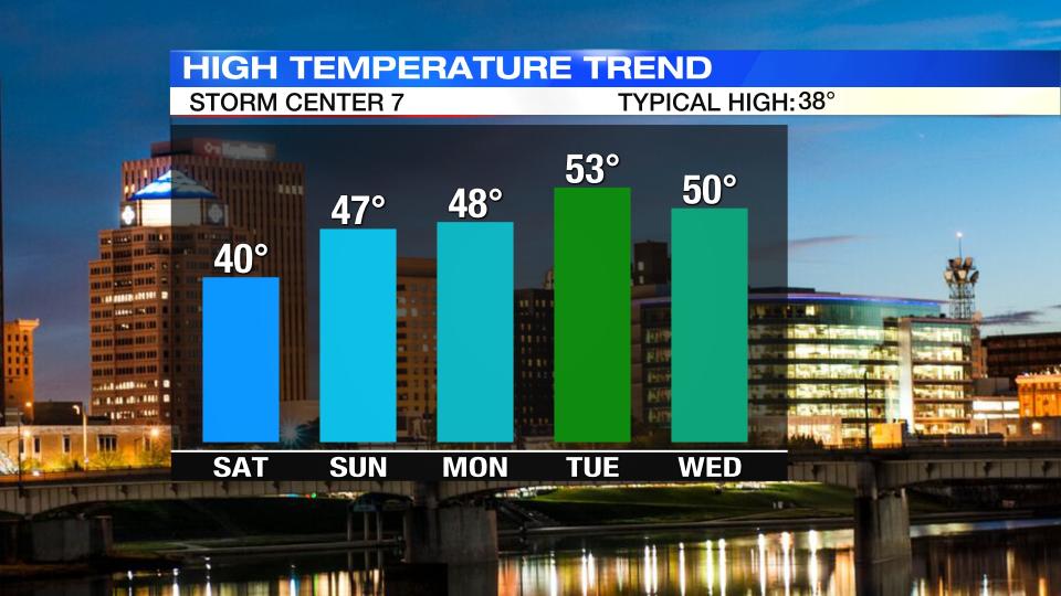
SUNDAY: Windy and a bit milder for Sunday with more clouds around. Highs in the upper 40s. Winds may gusts up to 35-40 m.p.h. at times.
MONDAY: Partly cloudy and still warmer than normal on Monday with highs pushing close to 50 degrees.
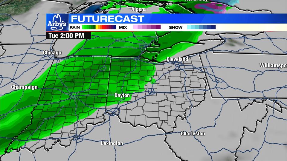
TUESDAY: Clouds increase as another front approaches on Tuesday bringing the chance for rain by the afternoon and evening. Although cloudier and wetter, the temperatures will still climb into the lower 50s. It will be windy, too.
WEDNESDAY: Clouds linger as does the chance for rain. In fact, some steady rain with downpours will be possible. Another day with highs around 50 degrees.
THURSDAY: A few more showers will be possible on Thursday otherwise mostly cloudy and mild with a high in the middle 50s.
FRIDAY: Mostly cloudy and a bit cooler for Friday, but still warmer than normal with a high in the upper 40s.

