Food deserts, food insecurity — what we know about Del Valle's limited access to groceries
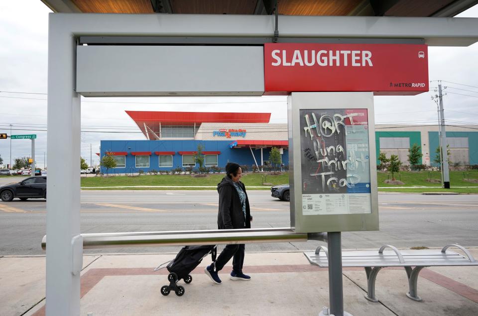
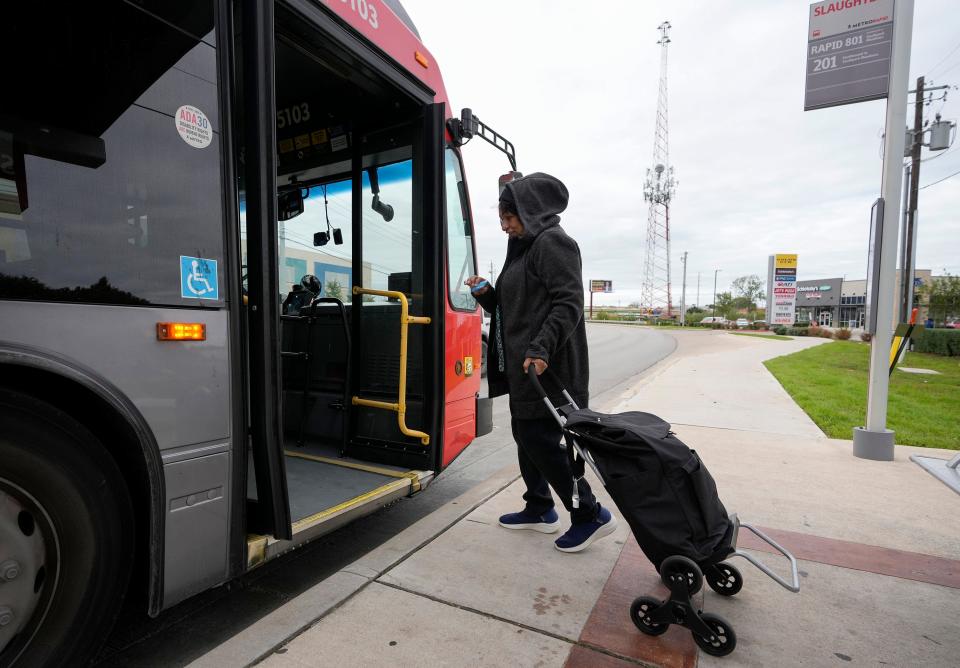
The trek for groceries can be particularly strenuous for Del Valle residents.
In November, the American-Statesman reported that many who live in Del Valle and eastern Travis County faced continued obstacles to accessing their groceries of choice. Food price, quality and selection led many to leave their neighborhood — which is served most proximately by a collection of minimarts, convenience stores and specialty grocers — for the bulk of their food purchases. The burden of commutes, though, meant many made the trips less frequently than they would like.
“Your biggest obstacle is getting nutritional food at a price you can afford,” said Patricia King, vice president of the Del Valle Community Coalition. “We can go and get it … but it’s costing us more.”
The ways that local and national agencies measure and label this problem is nuanced. How, then, can one describe the relationship between this community and groceries? As a food desert? An example of food insecurity or lack of food access? The Statesman spoke to professors and local policy leaders to understand what we know and don’t know about Del Valle’s relationship to food.
More: Facing food insecurity, Del Valle residents continue calls for better food access, an H-E-B
Is Del Valle a food desert?
The lack of a large grocery store in Del Valle has led some news outlets and community members to refer to the area as a “food desert.” The term has no set definition, but tends to describe an expansive area without a grocery store.
It remains popular because “it conveys a message really clearly” by contrasting a basic need with an image widely identified as barren, Baylor University public health professor Kathryn Janda-Thomte said.
Today, scholars and local food policy leaders like Janda-Thomte avoid the term, arguing it can oversimplify or convolute a community’s food conditions.
That is in part, Janda-Thomte said, because food access, or the ability to reach points where food is sold, isn’t usually defined by extremes.
“Saying that there’s nothing is a bit of a misrepresentation,” she said. What's more important is whether consumers use the stores around them.
Others, like city of Austin Food Policy Manager Edwin Marty, believe the term doesn’t centralize the question of economic security as it should. The lack of “adequate” grocery stores in Southeast Austin is a problem, he said, but that by itself doesn’t create conditions of disadvantage. Being low-income or having limited access to a vehicle on top of this, though, might.
What terms explain the conditions of Del Valle residents?
Del Valle’s lack of a comprehensive grocery store is a concern of access. When community members choose to leave the area for their shopping, it’s also a question of utilization, or whether individuals decide to use the food options that are most accessible to them.
Both of these play a role in conditions of food security and insecurity, Janda-Thomte said, as do the availability of food types and the stability over time of food sources.
Food insecurity, as defined by the U.S. Department of Agriculture, refers to conditions of “limited or uncertain access to adequate food.”
A grocery store could help improve food security, but it won’t be be “silver bullet” solution, Janda-Thomte said.

What does the data say?
There is no specific data on food insecurity in Del Valle, but 2021 numbers from Feeding America, a national network of food banks, suggested that about 1 in 8 Central Texans experiences it.
Mapping projects show some of the conditions of food access in the Austin area.
The USDA Food Atlas map marks census tracts that are both “low-income” and “low-access,” as measured by distance to the closest “grocery store.” The city of Austin’s 2017 Food Environment Analysis identifies areas where a certain number of residents are affected by multiple access barriers like low economic status, vehicle access or low store proximity.
In these maps, large chunks of what are now the most populated parts of Del Valle — the areas east of Austin-Bergstrom International Airport, south of the Colorado River and north of FM 812— are not identified as vulnerable, or areas experiencing more than one “condition” for food insecurity.
The USDA map marked the areas east of the airport as “low-income” but not “low-access,” by its definitions. The city’s map identified almost all of Del Valle as having “low proximity to healthy food” but almost none of it as having “low household income.”
More: With food security 'worse than ever,' these Austin urban farms strive to solve inequities
So, does the data mean nothing’s wrong?
Scholars who spoke to the Statesman said food access maps, while important, need to be read with nuance.
One important thing to consider, University of Texas regional planning professor Alex Karner said, is that the data used in these projects might not fully represent current realities.
Conditions of life change quickly, especially in a metro as fast growing as Austin, he said. Data sets can also be older than their publication dates, as large survey projects like the U.S. Census Bureau’s American Community Survey use accrued data from five-year periods.
The USDA’s most recent Food Atlas Map was published in 2019, but it uses U.S. Census Bureau population data from 2010 and income data from 2014-2018. The city’s 2017 map uses 2015 ACS data.
“We have to understand that they don’t represent a snapshot of the current moment. They’re in some sense a projection of the past, as well,” Karner said.
The numbers provide valuable context, he said, but they also require us to “understand their limitations and supplement them with current information from residents.”
“That's the gold standard.”
This article originally appeared on Austin American-Statesman: Is Del Valle a food desert? What we know about area's limited access

