Forecasters watching 3 tropical waves. Invest 90L shows small chance of development
The National Hurricane Center is watching three tropical waves in the Atlantic basin, including two now showing up on the center's tracking map.
One of the systems — Invest 90L — is approaching the Caribbean and currently has a 20 percent chance of development over the next five days.
The other is a tropical wave expected to move off the coast of Africa soon.
Almost 30 years after Hurricane Andrew hit Florida as a Category 5 hurricane, the tropics remain fairly quiet.
While AccuWeather forecasters are keeping an eye on conditions that could develop into something next week, chances are slim for a hurricane in the near future.
► Your guide to preparing for the 2022 hurricane season in Florida
"While we are currently monitoring one weak wave of convection well out in the eastern Atlantic Ocean, conditions aren't projected to improve over the next five days, and tropical development is not likely," AccuWeather Meteorologist Adam Sadvary said
"Dry, dusty air from the Sahara Desert, combined with unfavorable wind shear has kept the bulk of the Atlantic hurricane season quiet so far," Sadvary explained.
There have been three named storms so far in the Atlantic basin. If conditions remain quiet through the end of August, 2022 could become the third time since 1961 there have been no tropical storms in August across the Atlantic basin, according to AccuWeather.
Hurricane Andrew: Category 5 Hurricane Andrew broke 42-year lucky streak, shattered illusions of safety for Florida
Atlantic hurricane season: The calm before the storms: Why 2022's hurricane season won't stay quiet much longer
WeatherTiger: Shockingly quiet in the tropics as study confirms hurricane season is starting sooner
The next named storm in the Atlantic hurricane season will be Danielle.
Here's the latest update from the NHC as of 2 p.m. Aug. 23:
What's out there and where are they?
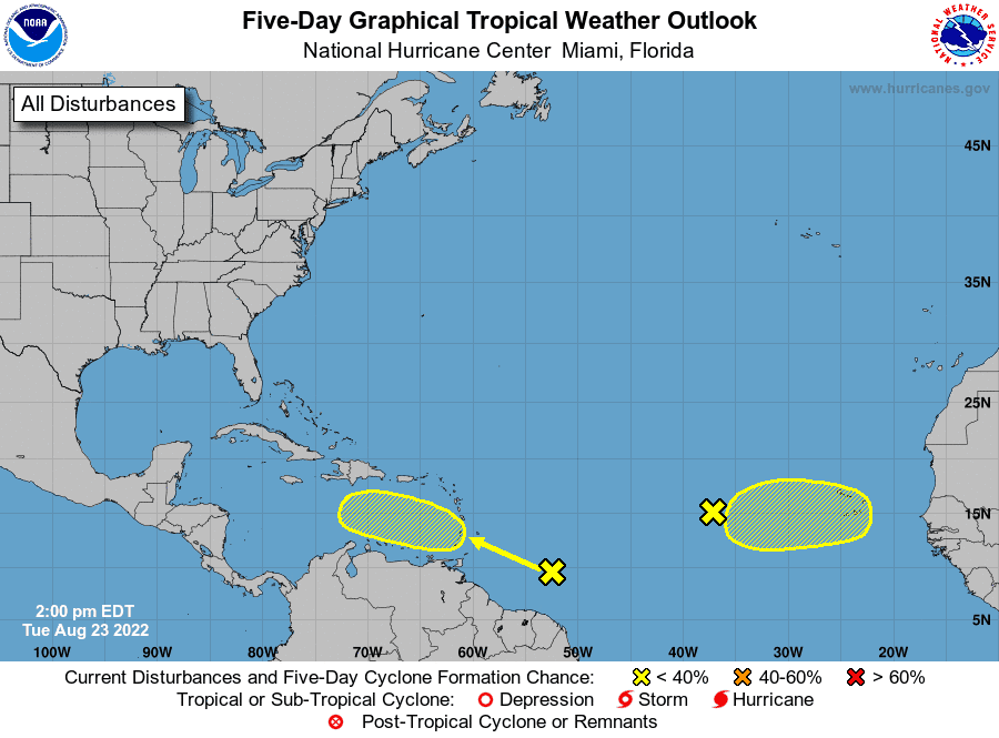
Tropical wave 1: Shower activity remains minimal in association with a tropical wave located several hundred miles west of the Cabo Verde Islands.
Tropical wave 2: A large area of disturbed weather has formed centered several hundred miles east-southeast of the Windward Islands.
Tropical wave 3: A tropical wave is forecast to move off the west coast of Africa in a couple of days.
How likely are they to strengthen?
Tropical wave 1: Further development of this system is not expected during the next several days while the system moves west to west-northwest at 10 to 15 mph across the tropical Atlantic.
Formation chance through 48 hours: near 0 percent.
Formation chance through 5 days: near 0 percent.
Tropical wave 2: While this system is currently disorganized, environmental conditions could become more conducive for development in a few days when the system approaches the Windward Islands or southeastern Caribbean Sea.
Formation chance through 48 hours: near 0 percent.
Formation chance through 5 days: low, 20 percent.
Tropical wave 3: Environmental conditions could support some slow development of this system late this week or over the weekend while it moves westward at 10 to 15 mph.
Formation chance through 48 hours: near 0 percent.
Formation chance through 5 days: low, 20 percent.
Who is likely to be impacted?
It's too early at this time to determine if there will be any impact to the U.S. from the tropical waves.
Forecasters urge all residents to continue monitoring the tropics and to always be prepared during what's expected to be an active hurricane season.
Early predictions: CSU, AccuWeather forecasters agree: Active hurricane season ahead. Here's what you need to know
WeatherTiger prediction: Since 2017, a ludicrous 101 named storms have formed. Expect more this hurricane season
Colorado State University's 2-week forecast for Aug. 18-31
CSU has issued 2-week Atlantic #hurricane forecast (Aug. 18-31) and gives highest odds for near-normal activity (70%) with below-normal & above-normal both given 15% chances. Tropical cyclone activity is likely to increase later in the period:https://t.co/8GXmlarsze pic.twitter.com/ID9ZEHYIfG
— Philip Klotzbach (@philklotzbach) August 18, 2022
Meteorologists forecast normal hurricane activity over the next two weeks, with a 15% chance of above-normal activity and a 15% chance of below-normal activity.
Tropical cyclone activity is likely to increase later in the period.
When is the Atlantic hurricane season?
The Atlantic hurricane season runs from June 1 through Nov. 30.
When is the peak of hurricane season?

Although the season has gotten off to a quiet start, the peak of the season is Sept. 10, with the most activity happening between mid-August and mid-October, according to the Hurricane Center.
WeatherTiger: Ominous steering currents for Florida may be on horizon as quiet hurricane season persists |
Revised seasonal forecast: Atlantic hurricane season off to slow start. But top forecasters still expect above-normal activity
Weather watches and warnings issued for your area
If you can't see any local weather warnings here, you'll need to open this story in a web browser.
The next five days
See the National Hurricane Center's five-day graphical tropical weather outlook below.
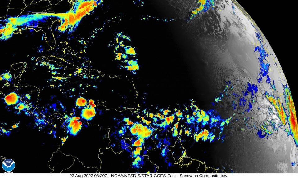
Excessive rainfall forecast
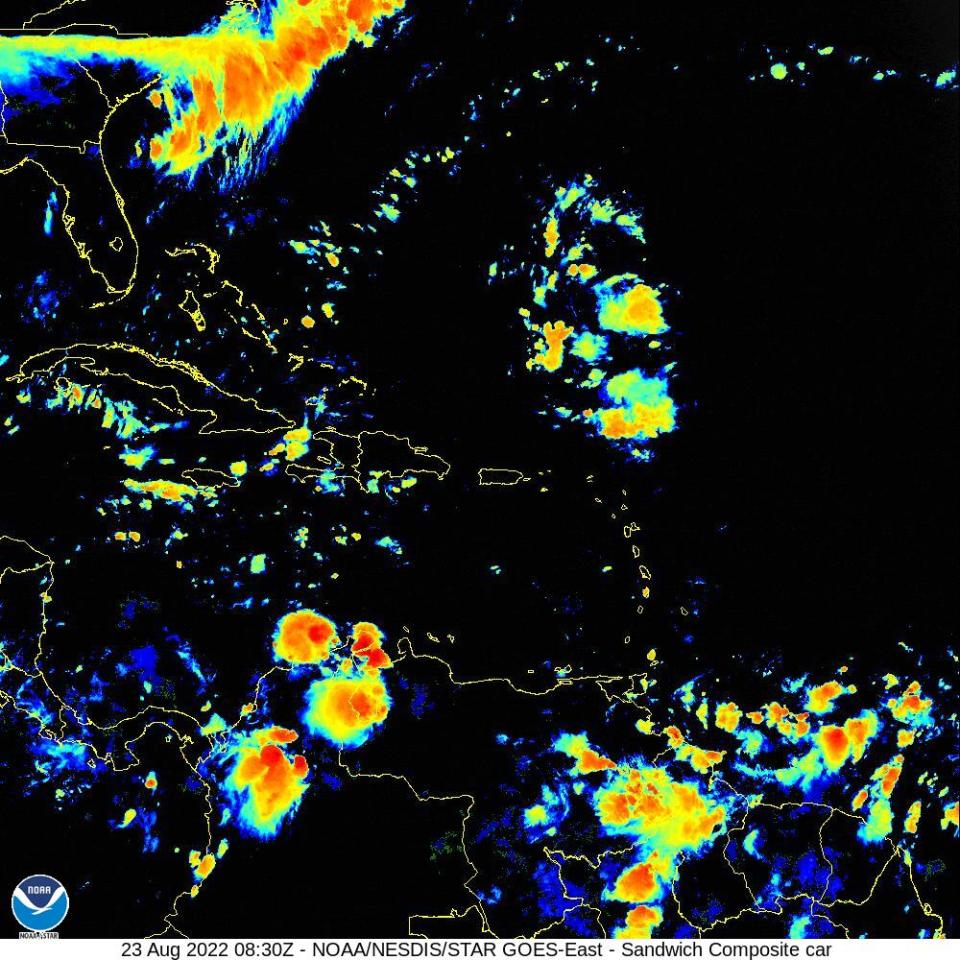
What's out there?
Systems currently being monitored by the National Hurricane Center.
What's next?
We will continue to update our tropical weather coverage daily. Download your local site's app to ensure you're always connected to the news. And look at our special subscription offers here.
This article originally appeared on Palm Beach Post: Tropics watch: 3 tropical waves in Atlantic, 1 nearing Caribbean

