Four Brockton-area hiking spots to explore this fall
While many residents of Brockton may enjoy the hustle and bustle of city living, it can be difficult to break away and seek out spots in nature to walk or hike around the area. But there are plenty of places in the area to explore nature and check out the foliage.
Here are four hiking trails around Brockton for families to enjoy nature:
Brockton Audubon Preserve Trail
This small, local nature preserve hosts an abundance of wildlife and tree species and is accessible even for new hikers. Located off Pleasant Street in Brockton, the trail leads to the West Elm Connector Trail, and hikers can continue their walk beyond the Brockton Audubon territory.
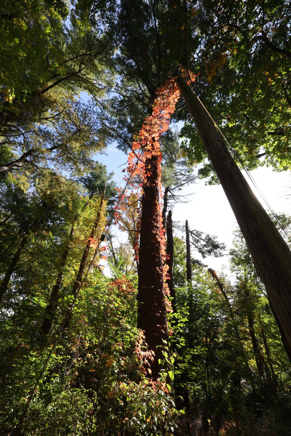
Features: A 0.8-mile boardwalk trail, plus a total of two miles of hiking trails beyond the main loop. Open year-round
Learn More: Brockton Audubon Preserve
More: 5 places to ride your bike this fall in and around Brockton
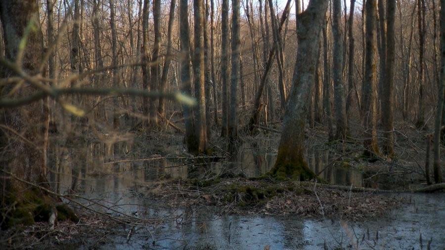
Hockomock Swamp
The Hockomock Swamp nature area stretches through Bridgewater, Easton, Norton, Raynham, Taunton, West Bridgewater and spans over 6,000 acres of wildlife preservation land. The area is the largest wetland in Massachusetts, and contains marshes with cattails, as well as open fields of hemlocks and pine trees.
Features: Two hiking trails - East Trail and West Trail - circle the outside of the swamp, and each trail is roughly 5 miles long. Other, shorter trails can be accessed along these two main paths.
Learn More: Hockomock Swamp
World War II Veterans Memorial Trail
This trail, located in Mansfield, opened in 2004 and utilizes an abandoned railroad corridor of the Old Colony Railroad, which was used to transport soldiers during World War II. The trail connects Mansfield downtown area to the town's airport, and also leads to the local Commuter Rail station.
Features: 1.5 miles of paved asphalt trails between East Street and Fruit Street through a dense grove tree woods.
Learn more: World War II Veterans Memorial Trail
IN OTHER NEWS: How did Brockton do on MCAS compared to last year, pre-COVID and the state average
Stone Farm Center Loop
Stone Farm Conservation Area is a 100-acre conservation area, restored in 2019, right on the line of Brockton and Easton, next to Stonehill College. The Center Loop and Connector Trail combine a 1.4-mile hike for beginners, starting at the Pearl Street United Methodist Church. Considered a hidden Brockton treasure, the trail connects to the Brockton Audubon Trail.
Trail Map PDF: City of Brockton trail map
Learn More: Stone Farm Center Loop and Connecter Trail
This article originally appeared on The Enterprise: Where to find hiking or walking trails near Brockton this fall?

