Four things we learned from Bergen County's plan to improve Route 17
The time is now for the public to have its say on details of how Bergen County plans to transform parts of Route 17 from two lanes to three to alleviate traffic.
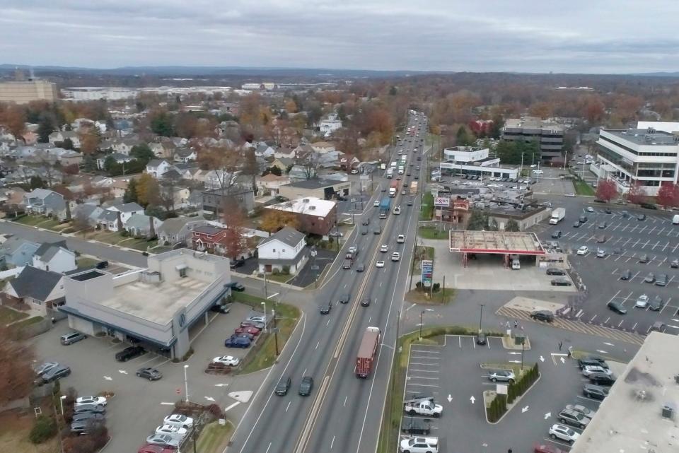
This is the first time in over a decade that the public has had a chance to view updated plans and ask questions. The study, which was prepared by the Bergen County Department of Planning and Engineering, focuses on the southern project limit at the Essex Street interchange in Maywood and the northern limit at the driveway for the Garden State Plaza mall along Route 17 south.
The information center offers a 20-minute video presentation, with slides and transcripts available. The goal is to improve traffic congestion and safety along county and local streets, and enhance the infrastructure throughout the corridor.
Here's what we learned from the county info center, which launched last week.
Timeline
This is still in the early planning phases and in the "Concept Development" stage of the New Jersey Department of Transportation's project delivery process. Data collections, developmental and evaluation of alternatives, stakeholder coordination, environmental screening and assessing right-of-way impacts will be conducted.
This is a continuation of studies performed on this section of Route 17 in 2012 with updates. This phase is expected to be completed this summer, with three more parts to follow.
Safety
A 2017 to 2019 analysis found there were 899 crashes in this section of the Route 17 bottleneck project. That's about one crash per day, requiring continuous emergency responses, and is greater than the statewide average for similar roadways.
To improve traffic and safety, a third lane will be added in each direction with standard width inside and outside shoulders provided where feasible. Standard acceleration and deceleration lanes will be provided for ramp connections at Passaic Street, Pleasant Avenue and Farview Avenue. There will be new Route 17 bridges over the NYS&W Railroad, Central Avenue, Passaic Street and Pleasant Avenue.
Environmental
During the preliminary engineering phase, a carbon monoxide hot spot analysis will be conducted to determine air quality impacts of the project. Noise barriers will also be evaluated at three potential locations.
Further investigations will continue to identify any presence of hazardous materials, especially at the Maywood Superfund site that is currently being remediated, and 20 other parcels of land that may need to be acquired.
The disturbance of wetlands and flood plains will be subject to state Department of Environmental Protection permits. No threatened or endangered species habitats have been identified within the project.
For subscribersGarfield finally releases video of clash between board members and resident, 2 years later
Acquisitions
Preliminary evaluation plans call for 20 full and 67 partial acquisitions along the corridor. The right-of-way impacts will be further refined during the next design phase.
Two historic areas could be affected, including the Maywood Chemical Company Historic District and the Captain William Tyson House in Rochelle Park. Partial acquisition of the Tyson House property would be evaluated by the U.S. Department of Transportation Act of 1966.
The effects on the two historical sites will be assessed as part of the environmental process in the next design phase.
Where to ask questions?
The presentation can be found online at tiny.cc/Rt17BottleneckVPIC until Feb. 2. Anyone who can't access it can call project manager Tim Severinsen at 973-434-3116 or email bc.engineering.planning@gmail.com.
The website has a comment section that anyone can fill out with the option to select if you want someone to respond to your concern or question directly.
This article originally appeared on NorthJersey.com: Route 17 improvement plans in Bergen County: Takeaways

