It’s freezing outside, but how did Dallas-Fort Worth get snow? Answer may surprise you

A weather event most common in the northern U.S. along the Great Lakes, might be to blame for the dusting of snow across North Texas.
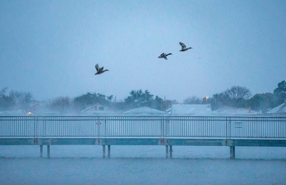
Lake effect snow is created when cold winds pass over warm waters, bringing moisture up into the atmosphere, which freezes and produces snow.
While the lakes around North Texas aren’t as warm or as big as the Great Lakes, the same weather event is taking place, said Jason Dunn, meteorologist at the National Weather Service’s Fort Worth office.
⚡ More trending stories:
→Want to make $337,000 a year working from home? Check out these Texas jobs.
→New COVID varian: Is it "more transmissible"?
→4 Texas cities to watch spectacular total solar eclipse in April.
Nearly all lakes in North Texas saw some type of lake snow effect, especially the larger bodies of water such as Lake Lewisville.
“We get a similar effect just on a much, much smaller scale,” Dunn said.
Monday morning’s snow has tapered off for the most part, after an active overnight period.
The NWS recorded 1.5 inches of snow at Dallas Fort Worth International Airport over Sunday night and Monday, Dunn said. Of the snow totals, 0.4 inches was recorded Sunday night before midnight and the remaining 1.1 inches came over Monday.
While the snow flurries are mostly over, North Texans should expect the accumulated snow to stay on the ground as temperatures continue to stay below freezing until Wednesday afternoon.
“Roads are going to be very slick overnight tonight and tomorrow,” Dunn said.
