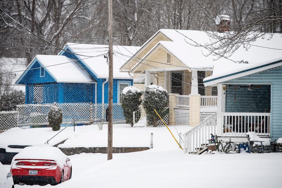
Freezing temperatures bring chance of snow, treacherous roads to Asheville, schools close
Snow is expected Jan. 28 in Asheville, beginning mid-morning and continuing into the evening, according to National Weather Service meteorologists, with low temps threatening treacherous road conditions through the weekend.
NWS meteorologist Clay Chaney said Asheville could see up to an inch of snow, with higher elevations in Buncombe County seeing upwards of 3-4 inches.
Due to the anticipated wintry mix, Asheville City Schools will be dismissing students and staff starting at 11:30 a.m. Jan. 28 for elementary students, including Pre-K students, according to an announcement from the schools. Middle and high schools will be dismissed at 12:30 p.m.
Because of the early dismissal, all afterschool programs, activities and meetings scheduled for the afternoon of Jan. 28 have been canceled.
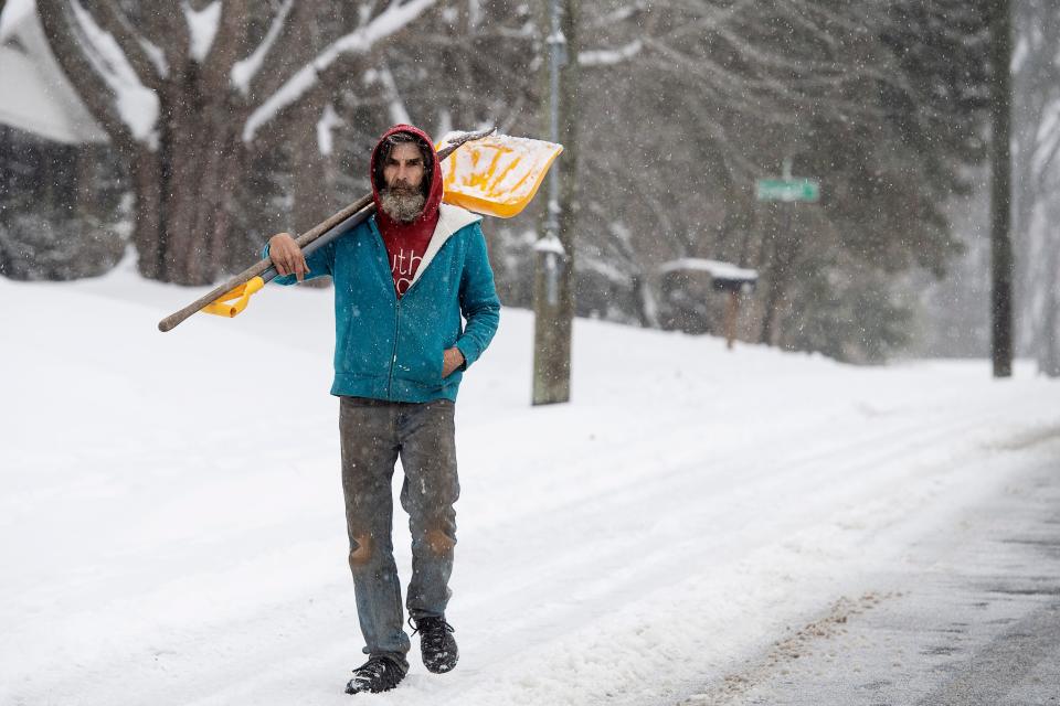
A low-pressure system off the coast, upper-level energy from the north and orographic lift over the mountains will combine to produce winter weather — a mix of rain and snow in Asheville that threatens "widespread black ice," Chaney said.
School effects Jan. 28: School closings, early dismissals in Western North Carolina ahead of weekend winter weather
Previous snow: Up to 2 inches of snow fell in Asheville in 1st snowstorm of the winter
Which WNC areas got the most snow? Asheville had 10.4 inches in weekend snowfall.
“You have all these factors going into one, and producing a likely outcome of some decent snowfall over the mountains," he said.
With about a 70% chance of snow accumulation in Asheville, Chaney said the heaviest precipitation will occur in the afternoon Jan. 28, but rain mixing in could lower accumulation totals for downtown.
As temperatures drop in the evening, more snow is expected, lingering after sunset, but likely to be light.
With Jan. 28 lows in the teens, dropping to single digits in higher elevations, whatever falls will freeze "pretty rapidly overnight," Chaney said.
Related: Snow roundup: Roads remain dicey in places across WNC after up to 12 inches of snowfall
Wind chill values could fall below zero, with gusts of 30 to 40 mph predicted overnight Jan. 28.
Jan. 29 will bring highs in the low to mid-20s, and lows in the teens, and whatever does accumulate isn't expected to melt during the day. Jan. 30 could bring slightly higher temperatures, high mid-40s, low 20s.
Asheville has seen two snowfalls in January to date, and Chaney said it's a rare occurrence to see chances of another so soon.
“This is definitely out of the ordinary," he said. "When’s the last time you’ve seen us get snow three weekends in a row?”
Code purple called
In the face of low temperatures, the Asheville-Buncombe Homeless Coalition extended Code Purple through Jan. 29, and noted it is likely to continue in early next week.
Options are:
ABCCM Costello House for men, 141 Hillside St., 4 p.m. and throughout the night in addition to law enforcement and paramedic escorts after hours.
Salvation Army for women and children only, 6-7 p.m. Law enforcement or paramedic escort allowed after hours, 828-253-4723.
Trinity United Methodist Church, 587 Haywood Road is available for overnight for families, couples and other vulnerable people who are unable to access other options. Entry for overnights is 5-7 p.m. Law enforcement or paramedics after hours, 828-490-0444.
Sarah Honosky is the city government reporter for the Asheville Citizen Times, part of the USA TODAY Network. News Tips? Email shonosky@citizentimes.com or message on Twitter at @slhonosky.
This article originally appeared on Asheville Citizen Times: Up to an inch of snow predicted for Asheville NC; black ice a concern

