Garden City considers redrawing district maps, redistributing populations in districts
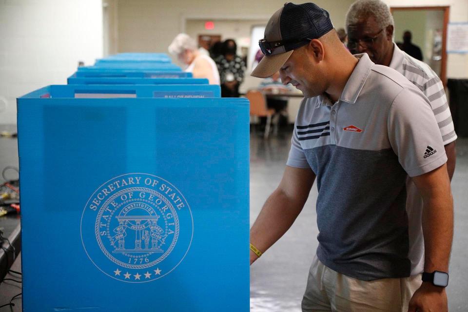
Garden City is considering redrawing its district lines after 2020 census data showed population shifts within the municipality. The city council met virtually on Monday to discuss possible draft maps that would restore the population balance within each district and, therefore, ensure equal voting power for residents in future elections.
After each decennial census, local governments that operate on a by-district system, revisit their district maps to make sure a roughly equal number of residents live within each district. Just like with state legislative redistricting, and other jurisdictions (e.g. county and school districts), the process must adhere to state and federal laws and principles within the Voting Rights Act.
Striking a balance: Port Wentworth considers redistricting after census shows population shifts
Municipal election debate: Is it better to elect council members by district or at-large?
Port Wentworth is also currently undergoing the redistricting process. The city of Savannah did so, earlier this year. The county’s other municipalities – Tybee Island, Pooler, Bloomingdale, Thunderbolt, Vernonburg – aren’t governed by districts; instead, their council members are elected by their citizens at-large.
Population growth leads to uneven districts
Since 2010, Garden City saw a 17% increase in its population – about 10,300 residents call the municipality home now – as well as increases in its racial diversity.
Every ethnic group, aside from white, saw some gains – particularly within the Hispanic and Latino community, which grew by 83% and now make up the third-largest ethnic group (2,700) after Black (4,000) and white (3,400) populations.
Also: Federal CHIP grant will improve homes in Garden City's Rossignol Hill neighborhood
Other ethnicities that saw its margins increase significantly include American Indian, multiracial groups (those who identify with two or more races) and Other, though their overall numbers are smaller (less than 1,000).
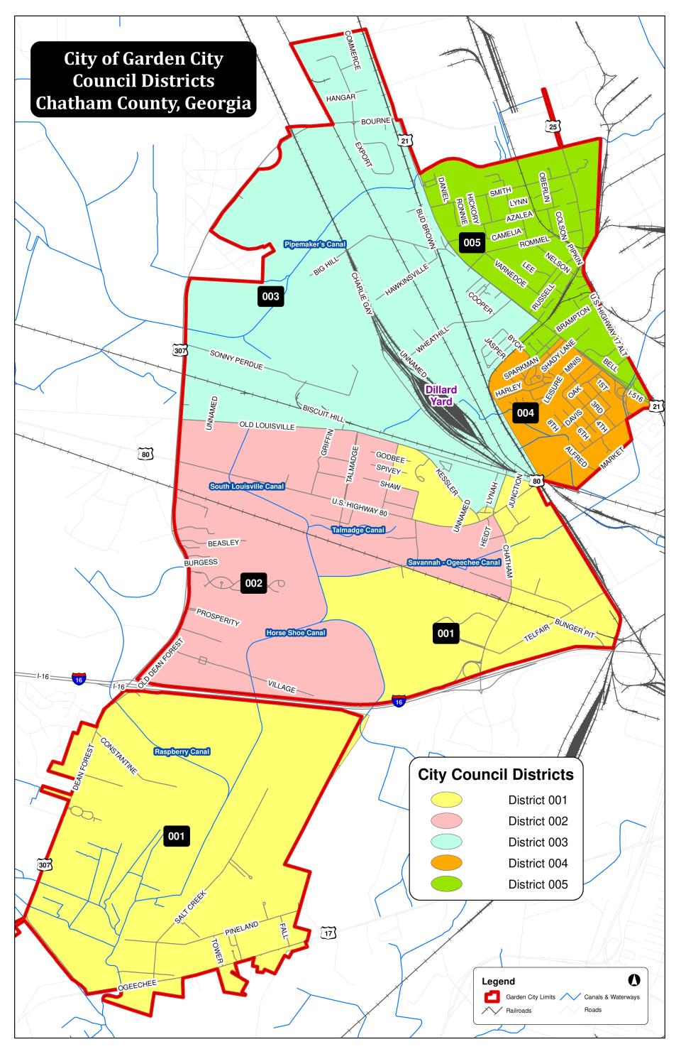
Garden City’s current district lines were first drawn according to the 2010 decennial census data, before the last decade’s growth. With updated numbers from the 2020 decennial census, the city is looking to restore a sense of balance between its five districts ahead of next year’s local elections, when three council races will take place.
According to the Georgia State Legislative and Congressional Reapportionment Office, Garden City’s ideal districts (total population divided by the number of districts) should hover around 2,058 residents. The general rule of thumb is the population shouldn’t deviate more than 10% (about 205 people) from this ideal number, according to GMA guidelines.
However, growth within the last decade in Garden City shows that four of its five districts are either higher or lower than that ideal.
Current population breakdown:
District 1: 1620
District 2: 2460
District 3: 2299
District 4: 1832
District 5: 2078
Garden City also has one at-large council member who represents the city as a whole, as well as the mayor who is also elected at-large. Together, the five district’s council members, at-large member and mayor make up the city council.
District 2, which was home to most of the Hispanic population growth, is 19% higher (with 2,460 residents). District 3 is 11% higher ( with 2,299 residents).
Meanwhile, district 1 deviates about -21% (with 1,620 residents) and district 4, about -11% (with 1,832 residents).
Larger than ideal districts are said to be underrepresented since only one council member serves as their representative within the local governing body. For residents living in a district that is relatively larger, their voting power could be diluted. For the council candidate, that could mean more ground to cover during a campaign, leading to higher costs and effort to garner enough supporting votes.
Reapportionment
During Monday morning’s virtual meeting, Gina Wright, executive director of the State Legislative Reapportionment Office debriefed council members on a draft map and the logic behind the redistricting process.
Essentially, portions of a larger district are sectioned off and moved into a smaller district to strike that ideal balance. Redistricting guidelines state that it’s good practice to keep districts together, or contiguous, and not break them up into islands.
More: 'A pinnacle moment.' Garden City expands Chatham Area Transit, adding six new bus stops.
According to Wright, the process gets as close to accurate as possible but is not an exact science. That’s because the census divides the population into census “blocks”, which is the smallest unit of measurement. The census block map is then superimposed onto the city’s district map whose lines differ slightly from the census block geography. Though the process is not perfect, Wright clarified, it’s close enough to form a baseline map for redistricting purposes.
It’s also important to note that no U.S. census has been perfect either (the COVID-19 pandemic made it even more difficult for the 2020 decennial) and that individual head counts are in constant flux. The American Community Survey continues to collect population and demographic data every year in between the decennial census, but is not used for redistricting.
Thus, creating a new map can be tricky, as each census block contains a different number of people. Moving one block from one district to another might result in too many or not enough people to meet the ideal district number. Wright also pointed out that they try to keep district shapes as compact as possible and try not to divide areas like an apartment complex or subdivision.
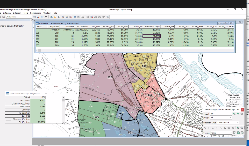
The proposed draft map, shows those redrawn lines adhering as close to redistricting guidelines as possible. District 4, one of the smaller districts, extends northeast into District 5. To compensate, the fifth district has taken a chunk of the larger 3rd district
On the south end of the city, District 1 takes a portion of the larger District 2.
The resulting map shows a much more evenly distributed population among the districts – none deviate more than 2% from the ideal.
Maps still in flux
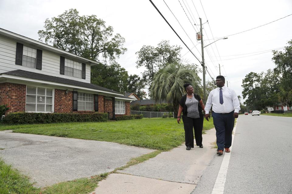
During the course of the meeting, council members Natalyn Bates Morris (District 3) and Richard Lassiter (District 4), who represent majority Black districts, discussed the possibility of another draft map, which the state reapportionment office will refine and send back to council.
While adjusting the draft map, Wright advised that the city should take note of the racial makeup of each district. For example, moving a portion from Lassiter’s district to Bates Morris’s district could end up giving Morris’s (District 3) over 80% Black constituents; meanwhile, Lassiter’s (District 4) Black population would be reduced to 61%. Before, the breakdown was more even, (75% for District 3 and 66% for District 4).
“Eighty percent is high, but whether anyone would question that being too high, I don’t know,” said Wright, who noted that courts could jump in and call it an instance of “packing.”
Packing is defined as “compressing minority voters into a small number of districts when they could effectively control more.”
None of the redistricted draft maps are set in stone and will most likely be revisited by council in a council workshop, said City Manager Scott Robider. The map will then have to gain majority approval from council and be presented to the public for a public comment session at a future council meeting. Meeting dates have not been set yet, as the process is still in its early stages. However, Robider notes that the city is aiming to complete the process by next January so that council candidates will have ample time to familiarize themselves with their potential district.
Since municipalities can change districts locally through their Home Rule Powers, they don’t have to score approval from the Georgia Assembly, if they're not making significant changes. The new map would be passed with a first and second reading by council. However, if the council does want to make drastic changes – such as changing the number of council members or altering district lines more than necessary – the new map will need to be approved by the Georgia state legislature.
More: School district plans to acquire Garden City gym complex, proceeds will boost new recreation
More: In neighboring towns, Georgia Ports Authority brings growth and jobs, but what is the cost?
District 5 council member Kim Tice noted the population will continue to grow and shift in the next few years. Garden City and the Southeast region of the state as a whole is poised for rapid expansion with the incoming Hyundai plant in Bryan County as well as other Georgia Ports Authority-related growth. The municipality is also expecting the new Groves K-12 school to complete construction next year, which will draw in children and their families to the area as well.
“I’ve got a gut feeling it'll be right back where we're at today, because the growth is going to populate all around us and everybody's district is going to get a piece of the pie,” said Tice, “And I'm afraid that if we change all of this today, one area is going to have more of the population than others.”
More: Affordable housing is hard to find in and near Savannah. Garden City leaders see opportunity.
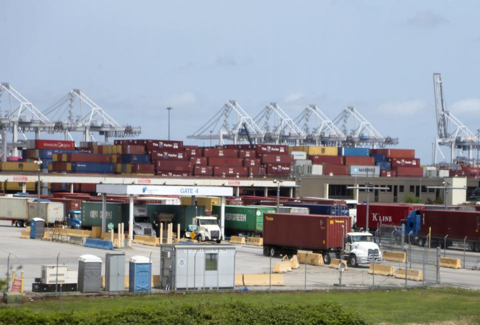
Because Garden City is the municipality closest in proximity to the Garden City terminal – the largest and fastest growing container terminal in North America – the city faces outsized pressure from industrial growth. Local officials are actively trying to combat increased industrialization by boosting its housing stock, which will likely serve portions of the workforce drawn to port-related business.
Though more population shifts are expected, Wright recommended redoing district maps with the 2020 census data to ensure the city will comply with state and federal laws. Redistricting is typically only done with official decennial census data, said Wright, so the next opportunity won’t be until the 2030 census data is available.
Nancy Guan is the general assignment reporter covering Chatham County municipalities. Reach her at nguan@gannett.com or on Twitter @nancyguann.
This article originally appeared on Savannah Morning News: Garden City considers redistricting after 2020 census data shows shifts

