Gaston ready to dodge the bullet; little snow expected Friday
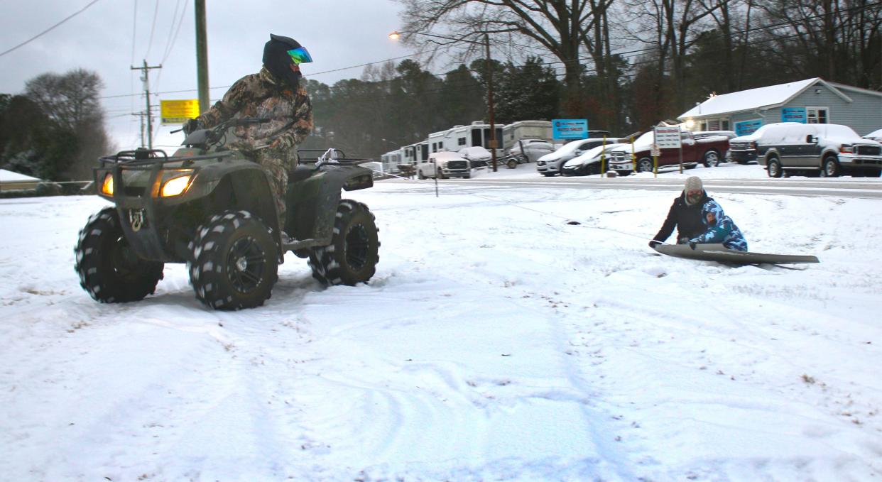
Leave the snow shovel in the garage.
Hang the sled back up on the wall.
And, of course, no need to run to the grocery store for 12 gallons of milk and 80 loaves of bread.
Barring unforeseen circumstances, a second snowstorm in less than week is simply not in the cards for Gaston County.
"The chances are definitely trending downward," said National Weather Service meteorologist Andrew Kimball on Thursday.
"I can't say that you might not see a little snow in Gaston County," he continued, "but right now it looks like the bulk of the frozen precipitation will be to the south and east."
Kimball explained that a low pressure system expected to form Thursday night is likely to be farther out in the Atlantic than originally thought. The result will be a better chance of snow for eastern North Carolina.
What's the official forecast? Well, it includes some mighty cold weather for the next couple of days, with the temperature expected to remain below freezing all day Friday.
Thursday night: A chance of rain, snow, freezing rain, and sleet before 4 a.m., then a slight chance of freezing rain after 5 a.m. Cloudy, with a low around 26. Chance of precipitation is 40%. Little or no snow and sleet accumulation expected.
Friday: A 40% chance of snow, mainly after 9 a.m. Cloudy, with a high near 30. New snow accumulation of less than a half inch possible.
Friday night: A 30% chance of snow, mainly before midnight. Cloudy, then gradually becoming partly cloudy, with a low around 19. North northeast wind around 7 mph. New snow accumulation of less than a half inch possible.
The projected weekend temperatures are a far cry from Wednesday afternoon when an official high of 57 degrees was recorded at the Gastonia Airport.
Warm temperatures and bright sunshine went a long way toward clearing Gaston County roads of remaining icy patches and a low temperature of only 43 degrees Thursday morning prevented any refreezing overnight.
"We're pretty much back to normal," said Johnny Murdock, North Carolina Department of Transportation maintenance engineer for Gaston County.
Murdock added that a small DOT crew will be reporting for duty tonight just in case more frozen precipitation falls than what is being forecast.
The warm temperatures and the clear roads also allowed students in the Gaston County Schools to return to the classroom Thursday morning for the first time since Jan. 14.
Bill Poteat, whose dog Bosco is more than ready to range beyond the fenced-in back yard, may be reached at 704-869-1855 or bpoteat@gastongazette.com.
This article originally appeared on The Gaston Gazette: Gaston ready to dodge the bullet; little snow expected Friday

