Going out Friday night in NJ? Be ready for single digit temps and wind chills below zero
Following a January of unusually warm weather, New Jersey is bracing for a bitterly cold start to the first weekend in February.
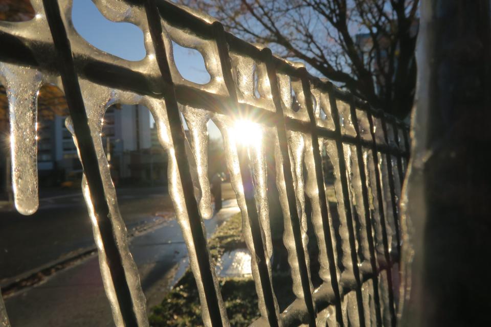
Temperatures will begin to plummet Friday and make for a frigid night, with wind chills expected to plunge below zero across the state by evening, according to the National Weather Service.
"We're expecting a strong cold front to move through," said meteorologist Alex Staarmann of the Mount Holly station of the National Weather Service. "Temperatures are going to be ranging from around 20 degrees in the northernmost part of the state by daybreak Friday, to around 30 degrees in the southern part of the state."

Throughout Friday, temperatures will continue to fall and all of New Jersey will be in the teens by Friday evening, Staarmann said. Overnight, conditions in southern New Jersey will dip to about 10 degrees and be near 0 in the northern portions of the state, he said.
The bitter temperatures are about 20 degrees colder than normal for early February, the meteorologist said.
Blustery winds will make those temperatures feel even worse, he added.
"We're forecasting minimum wind chills to range from possibly as low as -20 (degrees) in far northwest New Jersey, and then as low as like -5 or so in the southern part of the state," he said.
Saturday temperatures are not expected to rise out of the middle 20s during the day, but conditions will warm to more seasonal temperatures by Sunday, in the lower 40s, the meteorologist said.
The cold snap stands at odds with a record-setting January, which was among the warmest in over a century of weather records, Staarman said.
Atlantic City Marina experienced the second warmest January since record keeping began in 1873, he said. Trenton also reported its fourth warmest January on record, he added.
State Climatologist David Robinson said the warm January is the result of a jet stream that pushed storms to the west of New Jersey up into eastern Canada over the past month.
"There is a general association of this pattern with La Niña events in the tropical Pacific, so this general situation didn’t come as a total surprise," said Robinson. "What is surprising is how persistent it has been."
La Niña occurs when strong trade winds push warm air toward Asia, the Pacific ocean is cooler than usual off the United States, and the jet stream leads to a warmer-than-usual winter for the southern U.S., according to the National Oceanic and Atmospheric Administration.
NJ environment:After whale deaths, Rep. Chris Smith joins chorus of calls for offshore wind moratorium
Amanda Oglesby is an Ocean County native who covers Brick, Barnegat and Lacey townships as well as the environment. She has worked for the Press for more than a decade. Reach her at @OglesbyAPP, aoglesby@gannettnj.com or 732-557-5701.
This article originally appeared on Asbury Park Press: NJ weather: Arctic blast to bring wind chills as low as -20

