Rains usher in new year for much of California
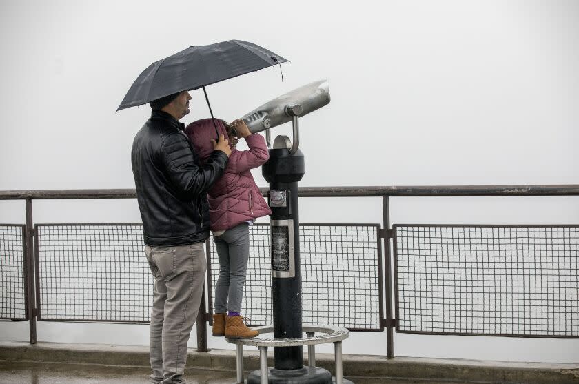
The year came to a soggy and stormy conclusion across California on Saturday night, with near record-breaking rainfall swamping roadways in the San Francisco Bay Area and the expectation of more moisture prompting officials to issue warnings near some Southern California fire burn areas.
Much of the rain in downtown Los Angeles was expected to fall from 8 p.m. to 1 a.m., with wind gusts of up to 20 mph, according to Lisa Phillips, a meteorologist with the National Weather Service in Oxnard.
Up to half an inch of rain was predicted for downtown Los Angeles. Mountain areas in L.A. County, meanwhile, experienced wind gusts of more than 70 mph, with forecasters predicting those areas could see up to 3 inches of rain.
“There could be some minor issues with ponding of water on the roads, a bit of local flooding at times. It’s going to be a reasonably difficult driving experience in the L.A. area tonight,” David Sweet, a meteorologist with the National Weather Service in Oxnard, said Saturday. “It's going to be a stormy evening, that's for sure."
The forecast prompted officials to issue an evacuation warning starting at 11:30 a.m. for portions of northern L.A. County, including Lake Hughes and the 2020 Bobcat fire burn area in the Antelope Valley. Rain-related parking restrictions were also imposed on about 25 homes in Duarte, in the area affected by the Fish fire earlier this year.
L.A. County health officials also warned beachgoers to avoid going into the water, especially near rivers and storm drains, until at least 7 a.m. Tuesday because of a possible increase in bacteria levels due to rain.
"We got a few burn areas in L.A. County that we will be watching, and we'll have to keep a close watch," Phillips said early Saturday evening. "They're not in the clear yet."
In anticipation of rain and possible flooding, the California Department of Transportation said one lane would be closed starting noon Saturday in both directions on Interstate 15 from Oak Hill Road to Bear Valley Road in San Bernardino County, where construction is taking place.
In Orange County, officials issued an evacuation warning for Silverado Canyon and Williams Canyon residents in the area affected by the 2020 Bond fire because of the possibility of debris flows.
But as of Saturday evening, much of the rainfall in California was concentrated in the northern half of the state.
Neighborhoods across the Bay Area had recorded between 3 and 5 inches of rain since Friday morning, according to Brooke Bingaman, a weather service meteorologist in Monterey.
The "system ended up stalling over a little bit," Bingaman said.
Soil in the region was already saturated before Saturday, leading to flooded roadways and downed trees.
“The problem is that when these soils are already near or at saturation, then all this additional rain that comes down, it’s not going to get soaked up,” Bingaman said. “So it just runs into the creeks and streams or ponds in urban areas.”
Weather in the Bay Area was expected to clear Saturday night and stay dry New Year’s Day. But that does not mean the region is in the clear from weather risks — it can take up to a week for rain from a storm to trigger mudslides.
“We could continue to see impacts,” Bingaman said. “It could be a messy start to 2023.”
In downtown San Francisco, 5.46 inches of rain fell from midnight through 8 p.m. — breaking the previous daily record of 2.12 inches, which was set in 2005, and marking the second-highest daily rainfall total on record, according to the National Weather Service. The highest was set in 1994 at 5.54 inches.
Bingaman said the rainfall is a "step in the right direction" toward addressing the region's drought. But she cautioned the rain season is just beginning and noted that early rainfalls in the 2021-22 season were followed by nearly no precipitation in January, February and March.
Major flooding on Saturday forced Caltrans to shut down all lanes of U.S. 101 in South San Francisco for hours, with the road reopening around 9 p.m. The California Highway Patrol tweeted that its officers had to rescue submerged cars on the freeway.
Falling debris from rockslides also prompted the closure of a stretch of Highway 1 from Ragged Point to south of Big Sur. Highway 99 in Modesto was also closed in both directions due to flooding.
"Our main message is never, ever drive through flooded roadways," said Hannah Chandler-Cooley, a meteorologist with the weather service in Sacramento. "You don't know what's happened to the road below."
Up in the Sierras, Interstate 80 was closed between Colfax and the Nevada state line due to snowfall. UC Berkeley Central Sierra Snow Lab measured 7.5 inches of snow per hour at its location in Soda Springs near Truckee between 4 p.m. and 5 p.m. Over 30 inches of snow fell in the area Saturday, the lab tweeted.
The National Weather Service issued a flood warning for the southern Sacramento Valley and Sierra foothills Saturday. Nearly 2 inches of rain have fallen across the region since Friday. Sacramento County proclaimed a state of emergency because of the storm. More than 150,000 were without power in the Sacramento area by Saturday night, according to an outage map by the Sacramento Municipal Utility District.
Sacramento County officials also reported Saturday night that the levees near Wilton Road on the Cosumnes River east of Elk Grove were "in a state of imminent failure" that could cause "life threatening" flash flooding in the area. Officials urged those in low-lying areas along the levees to seek higher ground immediately.
In Los Angeles County, the wind and rain are expected to subside by Sunday, keeping New Year’s Day sunny and dry with temperatures reaching the 60s. Nice weather should hold for the Rose Parade in Pasadena, which returns Monday without COVID-19 restrictions for the first time in three years.
But the reprieve will probably be short lived, Sweet said. Another storm is expected Monday night with a continued chance of rain into Tuesday, before a potentially powerful storm hits the region Wednesday night.
“I can’t really get too specific on how much rain is going to fall, but it looks like it’s going to be stronger than the storm this evening,” Sweet said. “If the current projections do come through … Wednesday night’s system looks very impressive.”
This story originally appeared in Los Angeles Times.

