Greenland ice sheets are weaker to climate change than we thought
The ice sheets of Greenland are melting, and it could be worse than we thought.
A new study suggests the ice sheets could be much more sensitive to human-driven climate change than previously estimated. Understanding the geological past of Greenland is vital for predicting sea-level rise, as a result of global warming. That's because its ice holds enough water to cause 23 feet (7 meters) of sea-level rise, which is a risk to every coastal region on Earth, the authors state.
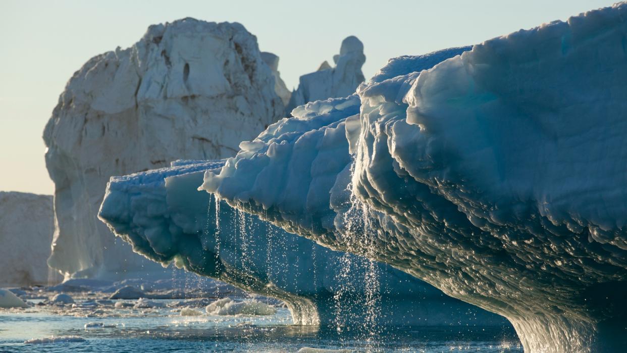
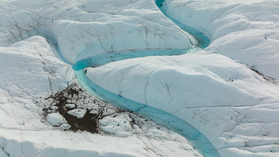
Greenland's ice sheet is about 2 miles (3.2 km) thick and spans an area three times the size of Texas. And it's already shrunk in the ancient past. Between 374,000 years and 424,000 years ago, moderate warming caused the ice sheet to melt, leading to a dramatic sea-level rise of around five feet, the study shows.
Related: Earth is getting hotter at a faster rate despite pledges of government action
The new study contradicts previous estimates that the Greenland ice sheet has persisted for most of the last 2.5 million years. The melting of some of Greenland's ice around 416,000 years ago left behind an ice-free tundra landscape that may have been covered by trees and roaming woolly mammoths.
The melting also took place despite carbon dioxide levels in Earth's atmosphere being lower at the time than today: just 280 parts per million (ppm), as opposed to 420 ppm (and rising) in modern times. (Carbon, a greenhouse gas that traps heat easily in Earth's atmosphere, is one of the drivers of global warming.)
The findings were reached by a team of scientists from various institutions, including the University of Vermont and Utah State University, who studied sediment from a long-lost ice core drilled from the Greenland ice sheet.
"It's really the first bulletproof evidence that much of the Greenland ice sheet vanished when it got warm," research co-leader and University of Vermont scientist Paul Bierman said in a statement.
The ice core was collected during a secret mission in the 1960s, when the U.S. Army drilled through more than 4,500 feet of ice at Camp Century in northwestern Greenland. They were working only 800 miles (1,300 km) from the north pole, and about 38 miles (61 km) inland from the coast.
The mission recovered a 12-foot (4-meter) tube of soil and rock from below the ice, which was then lost in a freezer. Happily, the sample was found again in 2017. Upon reinspection, scientists found the cored material not only had rock and soil, but it also harbored leaves and moss.
This plant material suggested the existence of an ice-free landscape in Greenland’s recent geological past, and perhaps even the presence of a boreal forest. Ancient greenery suggests that the ice sheet had melted at some point in the past million years of Earth's history, but scientists weren't sure when.
Using advanced luminescence technology and the analysis of rare forms of chemical elements, with differing atomic compositions called isotopes, Bierman and the team developed a stark picture that suggests large parts of Greenland melted much more recently than a million years ago.
"We had always assumed that the Greenland ice sheet formed about two and a half million years ago—and has just been there this whole time and that it’s very stable," research co-author and Utah State University scientist Tammy Rittenour said in the same statement.
"Maybe the edges melted, or with more snowfall, it got a bit fatter—but it doesn't go away, and it doesn't dramatically melt back. But this paper shows that it did."
The research shows that sediment below the ice sheet was deposited by flowing water during an ice-free period that coincided with a moderate warming period in Earth's history.
The period, called Marine Isotope Stage 11, took place roughly 424,000 to 374,000 years ago. It was a long interglacial period, with temperatures similar to or slightly warmer than those today.
This finding suggests that Greenland ice is much more sensitive to warming than previously predicted. It also suggests the risk of an irreversible melting of ice.
"Greenland's past, preserved in twelve feet of frozen soil, suggests a warm, wet, and largely ice-free future for planet Earth unless we can dramatically lower the concentration of carbon dioxide in the atmosphere," Bierman said.
The team investigated something within the sample called a luminescence signal, which arises as the result of trapped electrons (charged particles) when materials are buried.
As pieces of rock and sand are transported as a result of water or the wind, they are exposed to sunlight, which "resets" that luminescence signal. This process means that the number of trapped electrons can serve as a rudimentary "clock" that shows when the sediments were last exposed to the sun.
The only way these sediments in this core could have seen sunlight would be if there was less than a mile (1.6 km) of ice over the top of them. That light would also have been essential for the plant matter in the sample.
Also serving to reveal when these sediments were exposed to the sky were isotopes of beryllium and aluminum, in quartz. These isotopes are only created when sediment is at the surface and exposed to cosmic rays, which are charged particles that stream into the atmosphere from beyond the solar system.
RELATED STORIES
— Climate change may be changing the color of Earth's oceans
— Earth is getting hotter at a faster rate despite pledges of government action
— 10 devastating signs of climate change satellites can see from space
Ratios of beryllium and other isotopes gave the scientists an idea of how long rocks in the sample were exposed, and how long they were buried under layers of ice. The ratios revealed that sediments in this sample were exposed to the sky less than 14,000 years before being deposited under the ice. Finding this timeline narrowed down the window when this area of Greenland must have been ice-free.
The sea-level rise triggered is estimated by the team to have been between 5 feet and 20 feet (1.5 meters to 6 meters), a relative melt of a two-floor office building. Of course, the significant difference between then and today is that there was no climate change made by humans.
"If we melt just portions of the Greenland ice sheet, the sea level rises dramatically," Rittenour said, estimating that modern-day sea rise will probably go by tens of feet or meters.
Looking at the coast, Rittenour added, such a melt would put many urban centers and seaside populations at risk. "Look at the elevation of New York City, Boston, Miami, and Amsterdam. Look at India and Africa—most global population centers are near sea level."
The team's results were published July 20 in the journal Science.

