Winter storm dumps mix of snow, rain on GTA and southern Ontario
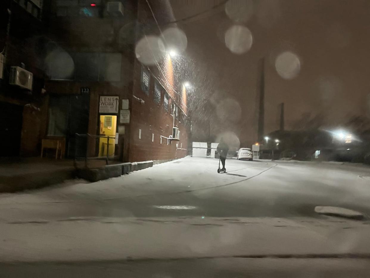
A winter storm brought heavy snow and strong winds across the Toronto area and wide swaths of the province Friday evening.
For the Toronto area, the snow, which was forecast to be heavy at times, transitioned to rain later Friday night as temperatures rose above freezing, Environment Canada said.
The weather agency issued a winter storm warning for Toronto on Friday night, calling for 10 to 25 centimetres of snow by Saturday morning. The warning was lifted just after 11:30 p.m.
"Surfaces such as highways, roads, walkways and parking lots may become difficult to navigate due to accumulating snow. Visibility will be suddenly reduced to near zero at times in heavy snow and blowing snow," the agency said.
Visibility could be reduced because of strong wind gusts, up to 70 km/hr resulting in blowing snow, it added.
Environment Canada said much colder Arctic air will settle over the region in the wake of the system. A "multi-day lake effect snow event" is forecast for areas east of the Great Lakes, bringing more snow to some communities.
A winter weather travel advisory for the city, in place for much of Friday, has been lifted.
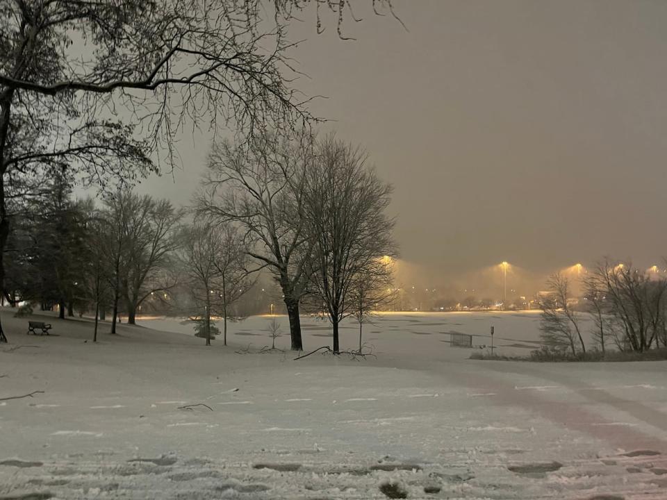
Environment Canada said much colder Arctic air will settle over the region in the wake of the system. A 'multi-day lake effect snow event' is forecast for areas east of the Great Lakes, bringing more snow to some communities. (Lane Harrison/CBC)
In Toronto, the city said it would deploy plows to expressways and major thoroughfares after 2.5 centimetres of snow had accumulated, and to residential streets after eight centimetres.
Some northern stretches of the GTA, including Caledon, northern York and Durham regions, as well as a wide swath of the province ranging from the shores of Lake Huron in the west to Ottawa in the east, were under winter storm warnings on Friday night. Those areas could see up to 25 centimetres of snow fall in a relatively short period of time, Environment Canada said.
In a video on X, formerly Twitter, Sgt. Kerry Schmidt of the Ontario Provincial Police's Highway Safety Division, said Friday night was "great night" to stay if people didn't need to be on the roads.
Schmidt urged drivers to have their full headlight systems on, keep a firm grip on the steering wheel due to wind gusts, and give themselves lot of distance behind traffic on the highway.
TTC says it's ready for storm
The TTC said it planned to deploy extra employees and maintenance vehicles through the transit system to spread salt, clear snow from surfaces, and keep signals, switches and overhead power operating during the storm on Friday.
The transit agency said it would also deploy more buses on a route-by-route basis to preserve service in areas where there was heavy snowfall or weather conditions that result in slowdowns, detours and disruptions.
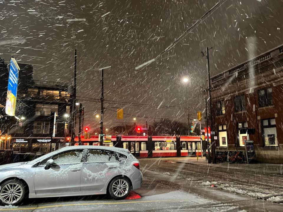
The TTC says it is taking steps to ensure service runs smoothly during the storm. (Lane Harrison/CBC)
The TTC said it would monitor 56 stops in areas where snow was known to affect bus service. Customers were advised to check if their bus stop is in service before they head out by looking here.
The transit agency said Wheel-Trans would continue to provide service, but customers could experience delays and additional wait times due to snow.
To ensure smooth service, the TTC says it would also do the following:
Run anti-icing trains to keep the power rail and tracks clear of snow and ice.
Spray anti-icing on the entire streetcar overhead network, as well as on the ground at all bus, streetcar, and subway divisions, to ensure vehicles operate safely.
Stay in regular communication with the city to ensure crews are aware of problems on transit routes.
Expect hazardous conditions near rivers: TRCA
Meanwhile, Toronto and Region Conservation Authority (TRCA) says five to 10 millimetres of rainfall was expected to follow the snowfall from midnight to 6 a.m. on Saturday.
Flooding is not expected in TRCA watersheds. However, due to the total rainfall expected and partially frozen soil conditions, all TRCA rivers within the GTA may experience higher than normal water levels and greater flows for a couple days, it said.
"The combination of snow, ice, rain and changing water levels could create hazardous conditions near rivers or other water bodies and slippery or unstable banks," TRCA said in a news release.
"Heavy rainfall could result in poor visibility. Some local ponding or pooling of water in low-lying areas or areas with poor drainage can be expected. All shorelines, rivers and streams within the GTA should be considered dangerous as this rainfall will result in higher flows and rapidly changing water levels."
TRCA said people should avoid all recreational activities in or around water at this time as conditions can change rapidly. People are also urged to exercise caution if they must be around any bodies of water, rivers or streams as well as the Lake Ontario shoreline.

