What are the new guidelines the BLM released for Labyrinth Canyon, Gemini Bridges?
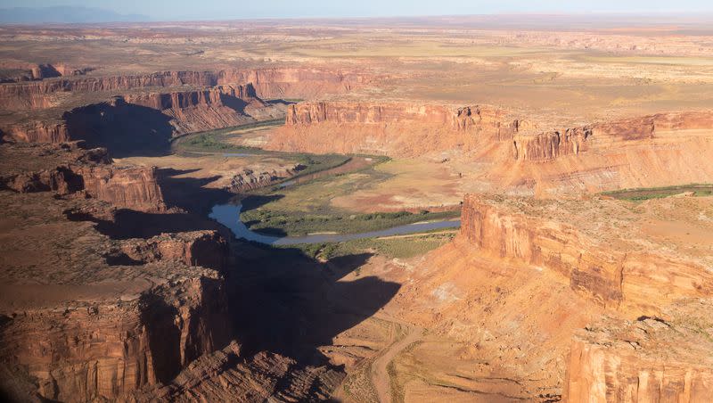
The Bureau of Land Management released a new travel plan on how to manage the land in the world-renowned Labyrinth Canyon and Gemini Bridges area near Moab this week.
The new plan will direct the land management of the 300,000-acre area, providing more guidelines and directions on when and where motorized recreational vehicles can be used in the scenic landscape.
What does the new BLM plan for Labyrinth Canyon, Gemini Bridges affect?
Here are some of the details about the area and the updated travel management plan framework for the 300,000 acres of public land in Grand County, Utah.
Travel routes for off-road recreation vehicles went from just over 1,100 miles to 812 miles.
96% of Jeep Safari routes will continue to be available for off-road use.
Some travel routes will remain open during certain months of the year and will be closed for use during other months.
The focus comes down to regulating where and, at times, when motorized recreation vehicles can be used in the unique area.
“It’s a really important step forward. It shows the agency is looking more holistically at these travel plans,” Laura Peterson, the attorney for the Southern Utah Wilderness Alliance, told the Deseret News. “And recognizing that it is necessary to determine where off-road vehicles are allowed to travel.”
Related
What happens next with the BLM travel plan?
The decision is signed, but now there will be a protest and appeal period for any opposition that the BLM will then evaluate.
On Thursday, the BlueRibbon Coalition announced opposition to the travel plan and argues the plan closes recreation access to scenic viewpoints, jeep trails and driving routes.
“The plan closes 317 miles of the most popular backcountry roads in the world,” BlueRibbon Coalition said in a release. “It limits or prohibits camping access to countless free, primitive dispersed campsites.”
BlueRibbon said it would be working with allied organizations to challenge the proposed plan.
“Clearly, the Bureau of Land Management didn’t listen to the thousands of recreation users who sent route-specific and substantive comments to the agency to keep this area open,” BRC Executive Director Ben Burr said in a release.
What’s the history behind the plan?
The process to update a travel plan for the region began in 2008 after the Southern Utah Wilderness Association sued the BLM over its management of resources in Moab, Vernal, Price, Kanab, Monticello and Richfield, the Deseret News reported.
In response, the BLM came up with four alternatives to managing the public lands in the area, and the new plan is a conglomeration between the four alternatives. Before landing on the final plan, the BLM heard more than 10,000 public comments on the possible alternatives, per its release.
“This is a more balanced plan,” Peterson said. “I think it’s important to note too that there is some sky-is-falling rhetoric. But there are still 800 miles designated for recreation.”

