Heat index a scorching 100-110, dangerous rip currents prompt Florida cautions for July 4th
Planning to celebrate the Fourth of July outside Tuesday?
Be careful.
High temperatures are expected to hover in the mid to upper 90s around the state, while heat indices could range between 100 degrees and 110 degrees through Independence Day, according to the Florida Public Radio Emergency Network.
Heat records have been broken in Miami and Key West recently and the heat indices across much of the state has climbed into the triple digits.
Residents and visitors heading to the beach to cool off or celebrate the Fourth of July have encountered dangerous rip currents.
➤ Interactive map: National Weather Service rip current fatalities
Rip currents are in the forecast for the holiday along Atlantic and Panhandle beaches.
Florida has the most rip current deaths in the United States, according to Florida Panhandle using data compiled from NOAA and the Centers for Disease Control.
Staying safe when temperatures climb: As temperatures hit 'dangerously hot conditions' in Florida, here is everything to know to stay safe
Staying cool with no electricity: How to keep cool in a Florida heat wave when the power goes out
Panama City Beach has the highest number of beach fatalities of any location in the US for 2023, including seven from June 15 through June 24, according to data from the National Weather Service.
Heat-related illnesses and what to watch for
Here's your Independence Day holiday forecast across Florida.
Weather watches and warnings issued for your area
If you can't see any local weather warnings here, you'll need to open this story in a web browser.
Weather alerts issued in Florida
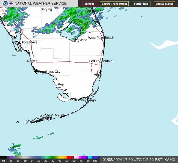
Weather radar and forecast for Pensacola

Follow National Weather Service Mobile on Twitter
Monday: A 30 percent chance of showers and thunderstorms, mainly after 1 p.m. Mostly sunny, with a high near 91. South wind 5 to 10 mph.
Monday night: A 30 percent chance of showers and thunderstorms after 1 a.m. Partly cloudy, with a low around 79. South wind 5 to 10 mph.
Independence Day: A 50 percent chance of showers and thunderstorms. Partly sunny, with a high near 90. West wind 5 to 10 mph becoming south in the afternoon. New rainfall amounts of less than a tenth of an inch, except higher amounts possible in thunderstorms.
Tuesday night: A 30 percent chance of showers and thunderstorms, mainly after 1 a.m. Mostly cloudy, with a low around 78. Southwest wind 5 to 10 mph.
Calmer conditions ahead? Panama City Beach could see yellow beach flags July 4th weekend
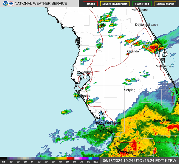
Weather radar and forecast for Tallahassee

Follow the National Weather Service Tallahassee on Twitter
Monday: A 40 percent chance of showers and thunderstorms after 3 p.m. Mostly sunny and hot, with a high near 96. Heat index values as high as 103. Calm wind becoming west southwest around 5 mph in the afternoon.
Monday night: A 40 percent chance of showers and thunderstorms before 9 p.m. Partly cloudy, with a low around 75. West wind 5 to 10 mph.
Independence Day: A 40 percent chance of showers and thunderstorms after 3 p.m. Patchy fog before 10 a.m. Otherwise, mostly sunny and hot, with a high near 96. Heat index values as high as 106. Calm wind becoming west southwest around 5 mph in the morning.
Tuesday night: A 40 percent chance of showers and thunderstorms before 9 p.m. Mostly cloudy, with a low around 77. Southwest wind 5 to 10 mph.
Weather radar and forecast for Jacksonville

Follow the National Weather Service Jacksonville on Twitter
Heat advisory: A heat advisory is in effect from 11 a.m. Monday to 7 p.m. Heat index is expected to reach 108 to 110 degrees from east of U.S. 301 and from 106 to 108 west of U.S. 301.
What do heat warnings and watches mean? Terms you should know and what to do
Monday: A 30 percent chance of showers and thunderstorms, mainly after 2 p.m. Sunny and hot, with a high near 97. Heat index values as high as 107. Southwest wind around 7 mph becoming south in the afternoon.
Monday night: A 30 percent chance of showers and thunderstorms, mainly before 8 p.m. Partly cloudy, with a low around 77. Southeast wind 6 to 8 mph becoming southwest after midnight.
Independence Day: A 40 percent chance of showers and thunderstorms after 2 p.m. Mostly sunny and hot, with a high near 97. Heat index values as high as 107. West wind 7 to 9 mph becoming southeast in the afternoon.
Tuesday night: A 30 percent chance of showers and thunderstorms, mainly before 8 p.m. Mostly cloudy, with a low around 77. Southeast wind 6 to 10 mph becoming southwest after midnight.
Weather radar and forecast for Daytona Beach

Follow the National Weather Service Melbourne on Twitter
Hazardous weather statement: Above normal temperatures are forecast Monday afternoon. The hottest temperatures will be focused across the central and northern interior with highs climbing into the upper 90s. Peak heat index values of 104 to 107 degrees across much of east Central Florida Monday afternoon.
Tuesday afternoon temperatures will remain above normal. Widespread low to mid 90s are forecast, with a few locations reaching the upper 90s over the interior. Peak heat index readings will approach 105 to 110 through mid-week.
Life threatening rip currents are forecast at all Central Florida Atlantic beaches through the 4th of July holiday.
Monday: A 20 percent chance of showers and thunderstorms after 11 a.m. Sunny, with a high near 92. Heat index values as high as 103. South wind 5 to 10 mph becoming east northeast in the morning.
Monday night: Partly cloudy, with a low around 75. South southeast wind 5 to 10 mph becoming southwest after midnight.
Independence Day: A 30 percent chance of showers and thunderstorms after noon. Mostly sunny, with a high near 93. Heat index values as high as 106. West wind 5 to 10 mph becoming east in the afternoon.
Tuesday night: Partly cloudy, with a low around 76. South southwest wind 5 to 10 mph.
Rip current dangers: People have died from rip currents in Volusia. Are locals doing enough to warn visitors?
Weather radar and forecast for Melbourne
Follow the National Weather Service Melbourne on Twitter
Hazardous weather statement: Above normal temperatures are forecast Monday afternoon. The hottest temperatures will be focused across the central and northern interior with highs climbing into the upper 90s. Peak heat index values of 104 to 107 degrees across much of east Central Florida Monday afternoon.
Tuesday afternoon temperatures will remain above normal. Widespread low to mid 90s are forecast, with a few locations reaching the upper 90s over the interior. Peak heat index readings will approach 105 to 110 through mid-week.
Life threatening rip currents are forecast at all Central Florida Atlantic beaches through the 4th of July holiday.
Monday: A 30 percent chance of showers and thunderstorms after 2 p.m. Sunny, with a high near 92. Heat index values as high as 107. South wind 5 to 10 mph becoming east in the morning.
Monday night: A 30 percent chance of showers and thunderstorms, mainly before 8 p.m. Partly cloudy, with a low around 77. Southeast wind 5 to 10 mph becoming south southwest after midnight.
Independence Day: A 40 percent chance of showers and thunderstorms, mainly after noon. Sunny, with a high near 92. Heat index values as high as 110. West wind 5 to 10 mph becoming east in the afternoon.
Tuesday night: Partly cloudy, with a low around 77. Southeast wind 5 to 10 mph.
Weather radar and forecast for Port St. Lucie
Follow the National Weather Service Melbourne on Twitter
Hazardous weather statement: Above normal temperatures are forecast Monday afternoon. The hottest temperatures will be focused across the central and northern interior with highs climbing into the upper 90s. Peak heat index values of 104 to 107 degrees across much of east Central Florida Monday afternoon.
Tuesday afternoon temperatures will remain above normal. Widespread low to mid 90s are forecast, with a few locations reaching the upper 90s over the interior. Peak heat index readings will approach 105 to 110 through mid-week.
Life threatening rip currents are forecast at all Central Florida Atlantic beaches through the 4th of July holiday.
Monday: A 50 percent chance of showers and thunderstorms, mainly after 2 p.m. Mostly sunny, with a high near 93. Heat index values as high as 107. Light and variable wind becoming east 5 to 10 mph in the afternoon. New rainfall amounts of less than a tenth of an inch, except higher amounts possible in thunderstorms.
Monday night: A 30 percent chance of showers and thunderstorms before 11 p.m. Partly cloudy, with a low around 75. Southeast wind around 5 mph.
Independence Day: A 50 percent chance of showers and thunderstorms, mainly after noon. Mostly sunny, with a high near 93. Heat index values as high as 106. Light and variable wind becoming east 5 to 10 mph in the afternoon. New rainfall amounts of less than a tenth of an inch, except higher amounts possible in thunderstorms.
Tuesday night: Partly cloudy, with a low around 76. East southeast wind 5 to 10 mph.
Weather radar and forecast for West Palm Beach
Follow the National Weather Service Miami on Twitter
Hazardous weather outlook: Scattered to numerous thunderstorms will develop Monday afternoon through early evening. Heavy downpours associated with slow-moving storms could create the potential for localized flooding. Scattered showers and thunderstorms will remain possible each afternoon and evening throughout most of the week.
Peak heat index values will range between 102 and 108 across the region Monday. Heat index values will remain high throughout most of the week, rising to 105 to 110 degrees in some areas.
The rip current risk will remain elevated along the Atlantic coast through the middle portion of the week, particularly along the Palm Beach coastline.
Monday: A 50 percent chance of showers and thunderstorms, mainly after 1 p.m. Mostly sunny, with a high near 87. Light and variable wind becoming east 6 to 11 mph in the afternoon. New rainfall amounts of less than a tenth of an inch, except higher amounts possible in thunderstorms.
Monday night: A 30 percent chance of showers and thunderstorms, mainly before 7 p.m. Partly cloudy, with a low around 80. Southwest wind 5 to 11 mph.
Independence Day: A 50 percent chance of showers and thunderstorms. Mostly sunny, with a high near 87. Light and variable wind becoming east 6 to 11 mph in the morning. New rainfall amounts of less than a tenth of an inch, except higher amounts possible in thunderstorms.
Tuesday night: A 20 percent chance of showers and thunderstorms after 2 a.m. Partly cloudy, with a low around 81. Southeast wind 6 to 14 mph, with gusts as high as 18 mph.
Weather radar and forecast for Naples
Follow the National Weather Service Miami on Twitter
Hazardous weather outlook: Scattered to numerous thunderstorms will develop Monday afternoon through early evening. Heavy downpours associated with slow-moving storms could create the potential for localized flooding. Scattered showers and thunderstorms will remain possible each afternoon and evening throughout most of the week.
Peak heat index values will range between 102 and 108 across the region Monday. Heat index values will remain high throughout most of the week, rising to 105 to 110 degrees in some areas.
Monday: Showers and thunderstorms likely, mainly after 3 p.m. Mostly sunny, with a high near 91. Heat index values as high as 106. Light and variable wind becoming west 5 to 10 mph in the morning. Chance of precipitation is 60%. New rainfall amounts of less than a tenth of an inch, except higher amounts possible in thunderstorms.
Monday night: A 30 percent chance of showers and thunderstorms, mainly before 9 p.m. Partly cloudy, with a low around 78. Northwest wind 5 to 7 mph becoming light and variable.
Independence Day: Showers and thunderstorms likely, mainly after 2 p.m. Mostly sunny, with a high near 93. Heat index values as high as 106. North wind 5 to 9 mph becoming northwest in the afternoon. Chance of precipitation is 70%. New rainfall amounts of less than a tenth of an inch, except higher amounts possible in thunderstorms.
Tuesday night: Showers and thunderstorms likely, mainly before 8 p.m. Partly cloudy, with a low around 78. Northwest wind around 6 mph becoming light and variable in the evening. Chance of precipitation is 60%.
Weather radar and forecast for Fort Myers
Follow the National Weather Service Tampa Bay on Twitter
Monday: Scattered showers and thunderstorms, then showers likely and possibly a thunderstorm after 3 p.m. Mostly sunny, with a high near 92. Heat index values as high as 101. Light west wind increasing to 5 to 9 mph in the morning. Chance of precipitation is 70%. New rainfall amounts between a tenth and quarter of an inch, except higher amounts possible in thunderstorms.
Monday night: Scattered showers and thunderstorms, mainly before 10 p.m. Partly cloudy, with a low around 78. West wind around 6 mph becoming light and variable after midnight. Chance of precipitation is 30%.
Independence Day: Iosolated showers and thunderstorms, then showers and possibly a thunderstorm after 2 p.m. High near 93. Heat index values as high as 102. North wind 5 to 7 mph. Chance of precipitation is 80%. New rainfall amounts between a tenth and quarter of an inch, except higher amounts possible in thunderstorms.
Tuesday night: Showers and possibly a thunderstorm before 8 p.m., then isolated showers and thunderstorms between 8 p.m. and 2 a.m. Low around 78. West northwest wind around 6 mph becoming light and variable after midnight. Chance of precipitation is 80%.
Weather radar and forecast for Sarasota
Follow the National Weather Service Tampa Bay on Twitter
Monday: Scattered showers and thunderstorms before 4 p.m., then showers likely and possibly a thunderstorm between 4pm and 5pm, then scattered showers and thunderstorms after 5pm. Sunny, with a high near 93. Heat index values as high as 104. West wind 6 to 11 mph. Chance of precipitation is 60%. New rainfall amounts of less than a tenth of an inch, except higher amounts possible in thunderstorms.
Monday night: Scattered showers and thunderstorms, mainly before 10 p.m. Partly cloudy, with a low around 79. West northwest wind 5 to 8 mph. Chance of precipitation is 30%.
Independence Day: Isolated showers and thunderstorms, then showers likely and possibly a thunderstorm after 2 p.m. Sunny, with a high near 94. Heat index values as high as 106. West northwest wind 6 to 11 mph. Chance of precipitation is 60%. New rainfall amounts of less than a tenth of an inch, except higher amounts possible in thunderstorms.
Tuesday night: Showers likely and possibly a thunderstorm before 8 p.m., then isolated showers and thunderstorms between 8 p.m. and 2 a.m. Partly cloudy, with a low around 79. North wind 6 to 8 mph. Chance of precipitation is 60%.
This article originally appeared on Treasure Coast Newspapers: Florida weather forecast: High temperatures, heat index, rip currents
