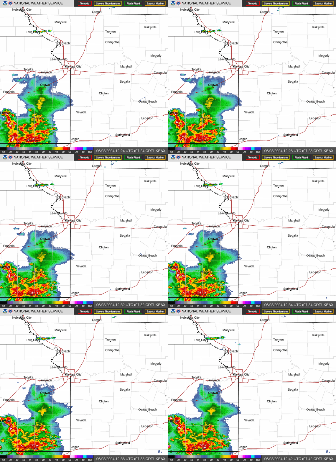
Heavy rains from strong thunderstorms bring risk of flash flooding east of Kansas City
Strong thunderstorms passing just east of the Kansas City area Tuesday morning were producing heavy rains that were leading to the risk of flash flooding in parts of central and north-central Missouri, the National Weather Service said.
A flash flood warning was issued for those areas, including parts of Interstate 70. Cities impacted included Sedalia, Concorida, Sweet Springs, Carrollton, Waverly and Norborne in Missouri.
Sedalia picked up over 5 inches of rain since rains began shortly after 12:20 a.m., the weather service said on Twitter about 6:15 a.m.

The rains, however, will likely remain east of the Kansas city area as a frontal boundary will split the region from northwest to southeast, according to the weather service.
The Kansas City area will be sandwiched between widespread storms to the east and dangerous heat to the south and west.
In addition to the heavy rains, hail and winds are possible in the strongest storms east of the metro. Meanwhile temperatures are expected to reach into the 90s south of U.S. 50. Heat index values are expected to range from 100 to 105 degrees in Miami and Linn counties in Kansas and parts of Cass and Butler counties in Missouri.
In Kansas City, temperatures are expected to climb into the low 90s Tuesday, with heat index values climbing to near 100 degrees.
The heat is expected to intensify Wednesday, as temperatures are expected to climb into the mid-90s and heat index values soar as high as 106 degrees in the metro. Some areas south of the metro could see heat index values around 110 degrees.
“Showers and thunderstorms my significantly affect temperatures,” the weather service said. “However, overall mugginess is expected to make the air generally uncomfortable.”
Weather watches and warnings
A live data feed from the National Weather Service containing official weather warnings, watches, and advisory statements. Tap warning areas for more details. Sources: NOAA, National Weather Service, NOAA GeoPlatform and Esri.
