Heavy snow forecast for some parts of B.C. as record cold continues to grip other regions
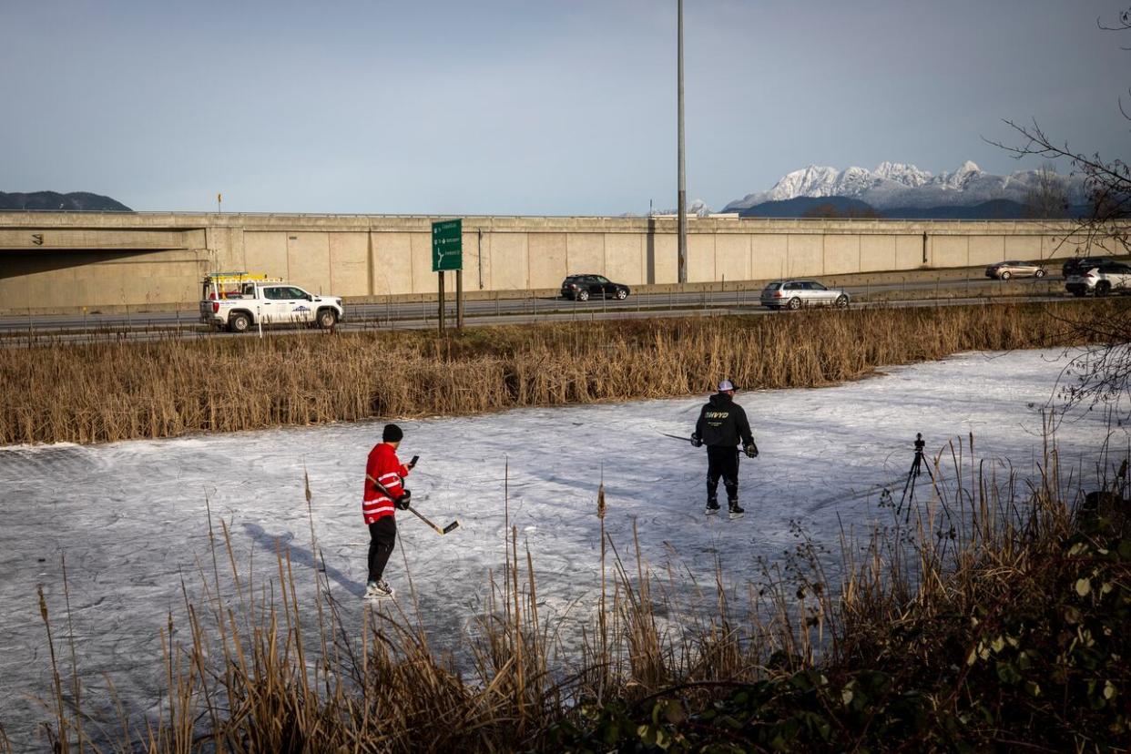
British Columbia remains in the grip of winter weather as extreme cold persists in the province's southeast and northeast regions, while snowfall warnings say parts of the Interior including Prince George could see up to 20 centimetres more snow.
Environment Canada says a "robust" low-pressure system moving across the province will bring periods of heavy snow from the North Coast through the Cariboo to the Alberta border starting Monday night before easing by Tuesday afternoon or evening.
Special weather statements have also been issued for the Southern Interior and southwest B.C. warning of more snow beginning Tuesday night.
Environment Canada said a low-pressure system approaching the coast from the west would bring moisture expected to fall as snow over those areas, but there could also be freezing rain in the southwest as temperatures hover around zero.
"The potential for heavy snow and freezing rain during this time could pose a hazard to travel and outdoor activities," the forecaster said on its website.
In a statement, the province's Transportation Ministry said its contractors were preparing for snow and the possibility of freezing rain in Metro Vancouver, Vancouver Island and the Fraser Valley starting Tuesday night and continuing into the morning commute on Wednesday morning.
Traffic congestion on the Alex Fraser Bridge in Delta, seen in January 2020. The province warns it may have to shut down bridges if conditions are too dangerous to travel amid freezing rain. (Ben Nelms/CBC)
"The province's maintenance contractors will be out in full force, applying brine and abrasives, and clearing snow as it accumulates," reads the statement. "However, freezing rain is one of the most difficult weather conditions to effectively manage.
"Bridges and roads may be closed to traffic in the interest of public safety."
The province is advising commuters to avoid driving Tuesday night and Wednesday morning if possible, and if a trip is necessary, to ensure their vehicle is properly equipped for the conditions.
Extreme cold continues
Meanwhile, regions including the East Kootenay and Elk Valley in the province's southeast continue to have extremely cold weather, with wind chill values value making it feel like –35 C.
The coldest spot in B.C. on Monday morning was at Yoho National Park, which had an air temperature of –37 C.

A woman carries a dog during during a period of cold weather in Vancouver, where more snow and rain is likely coming Tuesday. (Ben Nelms/CBC)
The highest temperature in B.C. recorded Monday morning was at a weather station on remote Sartine Island off the northwestern tip of Vancouver Island, where it was 4 C.
The bitter cold is also continuing in the northeast, where a provincial low of –45.5 C was recorded Sunday at Fort Nelson Airport.
Broken records, burst pipes
Environment Canada says several records were broken over the weekend, including Sunday in Creston, which hit –22.7 C, beating its previous record of –21.7 C in 1950.
Osoyoos also broke a record at –18.8 C, beating its previous record of –18.3 C set in 2017.
West Vancouver and the Sechelt area were slightly below previous records, while Squamish dipped to –12.3 C, which was 2.5 C colder than the previous record in 2007.
The sustained cold has caused pipes to burst at some homes and businesses, with at least two hospitals, a seniors facility and an ice arena hit by the deep freeze.
Patients needing emergency treatment at Mission Memorial Hospital were diverted to nearby Fraser Valley hospitals at Maple Ridge, Langley, Abbotsford or Chilliwack after pipes froze and burst, causing a flood in the emergency department.
At Royal Inland Hospital in Kamloops, a front-door heater at an emergency waiting area malfunctioned on Saturday, causing temperatures inside to drop to –6 C. Frozen pipes at an ice arena in the city's Valleyview community forced its closure.
In Williams Lake, a seniors facility had to be evacuated on Friday with people in 20 units being forced from their homes due to damaged pipes.
Hydro usage
British Columbians set a new record for energy usage as extreme cold settled over the province on Friday night. B.C. Hydro customers used 11,300 megawatts of energy during the peak energy usage hour.
The previous record set in December 2022 was 10,977 megawatts.
The utility provider says B.C. did not need to import electricity, but had enough to provide an extra 200 megawatts to Alberta.
By the end of the week, temperatures along the South Coast are expected to rise to 8 C.

