Heavy winds expected the rest of the week across Florida. What's causing them?
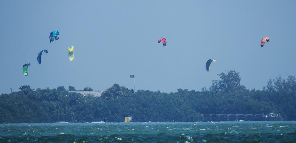
Ever thought about kiteboarding, or sailing the open seas with gale winds blowing across your bow?
This week might be the time for such activities as heavy winds are forecast to arrive Wednesday and dominate local weather into the weekend.
Meteorologists are expecting gusts of up to 30 miles per hour in the Fort Myers-Naples area as a cold front with a steep gradient behind it blasts across the Sunshine State.
"We don't always get small craft advisory level winds behind a cold front," said Rodney Wynn, a meteorologist with the National Weather Service in Ruskin. "But the northerly wind behind that cold front is going to produce some gusty winds."
Wynn said a high pressure system will soon fill in over Texas and Louisiana, and that the gradient ― basically measured by the distance between the two systems ― will be strong and will influence winds over the Gulf of Mexico and all of Florida for several days.
Winds are expected to return to more typical speeds (around 5 to 10 miles per hour) by Saturday, according to the latest NWS forecast.
"This pattern is continuing through the end of the week and it's gusty northerly through northeasterly winds," Wynn said. "And the high pressure that will fill in is pretty high for the southern part of the U.S."
More: Florida's real flamingos: Pink treasures still being reported on state's west coast
Anna Torres-Vazquez, a meteorologist with NWS in Miami, said the tropical storm season is playing a role in the windy conditions as well.
"We have the front that's dropping through the peninsula, and the interaction between that and an area of low pressure over the Bahamas will lead to a pressure gradient, which is what tends to be tighter, "Torres-Vazquez said. "So, the winds will increase dramatically across much of south Florida, particularly over the water with potential gale conditions."
Waves in Gulf could reach 7 feet
Most of Florida's coast will be under a small craft advisory for several days.
Much of the Gulf of Mexico is under a gale warning, and the Atlantic coast is under a gale watch, according to NWS.
"In the Gulf of Mexico we could see waters about 7 feet," Torres-Vazquez said. "It's not good conditions for boaters. We'll start seeing those wind speeds increase Wednesday and then Thursday and then into Friday afternoon and we'll have gusts up to about 35 miles per hour."
Temperatures are expected to drop a few degrees with the coming front, from highs in the upper 80s to highs in the lower 80s.
Lower lows, drier air
Lows this week could drop down into the lows 60s, according to the NWS online forecast.
Torres-Vazquez said the air will feel drier, but that conditions won't be as comfortable as they were during a recent cold front.
More: Florida's panther appears to be in decline with few roadkills this year
"It's definitely going to feel cooler but not as cool as what we felt a couple of weeks ago," Torres-Vazquez said.
Weather over the next several months is expected to be influenced to some degree by El Nino, which typically brings cooler temperatures and wetter conditions during the winter.
"When we're talking El Nino, it's more about the low pressure systems that come through and this really isn't indicative of that, Wynn said. "We've seen over the past month cold fronts coming through every five to seven days and that's indicative of El Nino."
Connect with this reporter: Chad Gillis on Facebook.
This article originally appeared on Fort Myers News-Press: Gulf expected to be frothy as high winds blast toward Florida

