Jim Cantore sighting; Izzy cancels most airport departures, arrivals
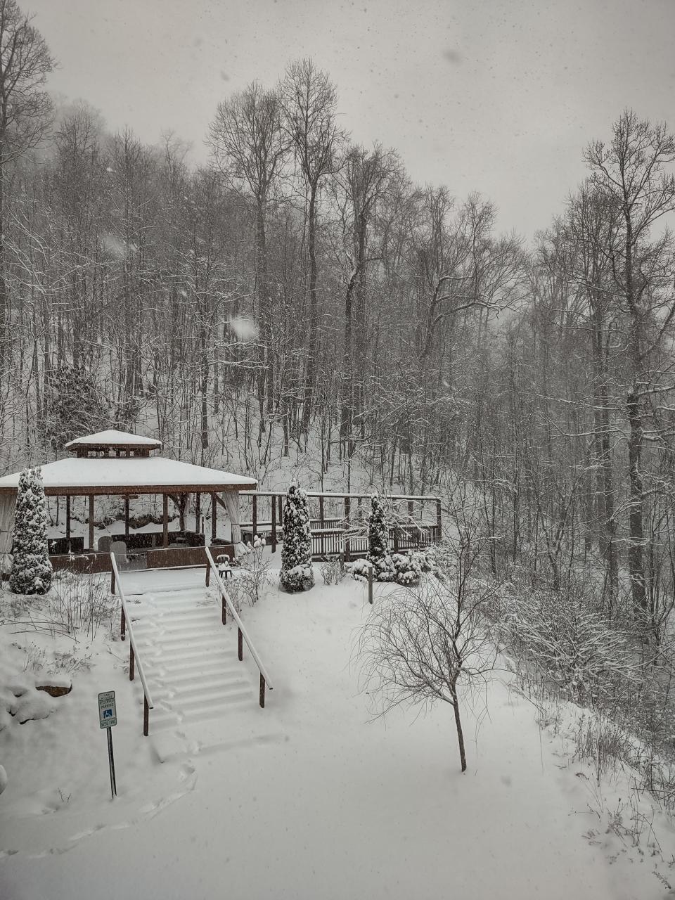
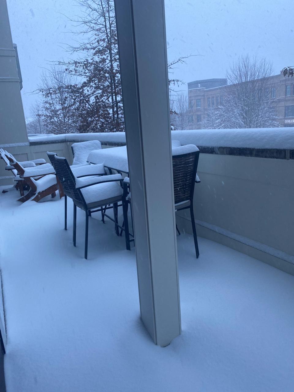
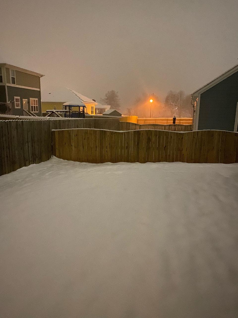
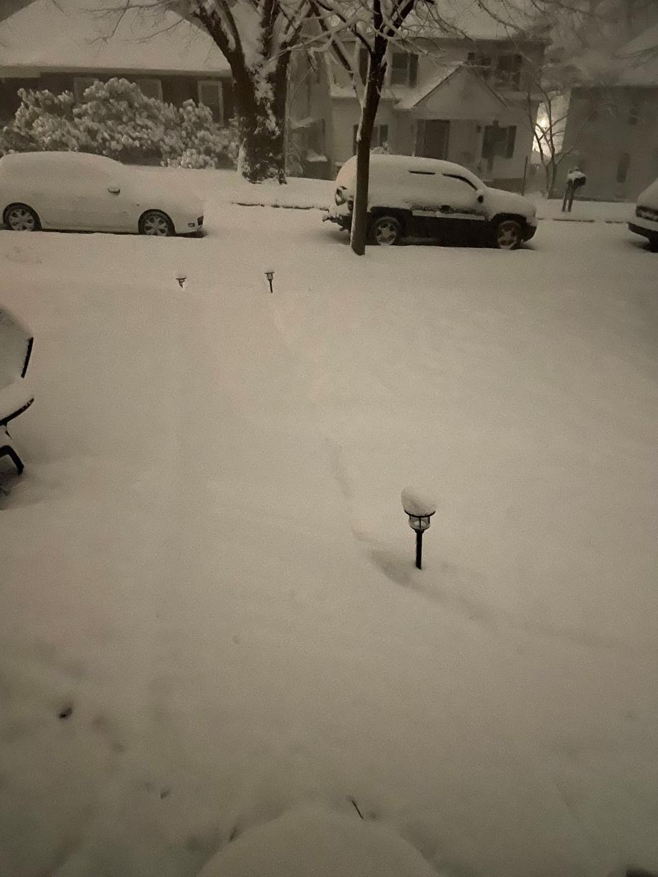
Hello, Western North Carolina. The second snowstorm of the season is blanketing Asheville on Sunday morning, Jan. 16, and we'll keep you updated on conditions around the area. Forecast amounts vary from weather service to weather service, but it looks like this one is for real. Will it approach the Blizzard of '93 or some of the other big storms that have dumped sizable amounts of snow here? We'll see.
Citizen Times staff would like to hear from you. Share your observations of conditions from your location by sending me an email at jwalston@gannett.com. Include your name and where you are. Send a photo if you'd like, and we'll include as many as we can.
5 p.m.: 'Not much melt happening,’ in coming days
As what may be the most intense day of snowfall, ice and wind from the winter weather that hit Western North Carolina Jan. 16 ends, local meteorologist Hunter Ward is saying it difficult to know exactly what the system is going to do next, but people should prepare.
Ward, an Asheville native who monitors and analyzes WNC weather patterns on his website, told the Citizen Times Jan. 16, “It’s really difficult to tell when the snow is going to taper off.”
Some models show higher elevations will get snow through 12:01 a.m. Jan. 17, he said. “The further north you go, the longer that northwest flow is going to stick around.”
He said models are predicting Jan. 18-19 highs of 43 and 45 degrees, respectively. But lows will drop into the teens during that time, Ward said. For instance, Tuesday morning could bring temperatures as low as 15 degrees.
Snow and ice will pack in as a result, he said. “I don’t really see much melt happening,” he said. “It’s definitely going to be cold and I see this snow lingering around especially in those places that got 10 plus inches of snow. It’s going to melt on itself a little bit, but it’s going to refreeze ever single night.”
Jan. 16 morning found Ward doing what he recommended everyone else in the area do before the day was over: cleaning off his car. Scraping snow and ice away while its fresh will be a lot easier than if drivers wait until they need the car after the Martin Luther King Jr. Day holiday.
“It’s really easy to deal with now,” Ward said. “But as you let it melt and refreeze on itself it’s going to become really difficult to move off of things.”
The NCDOT is asking WNC residents to be wary in the coming days as well. The department had thousands preparing the roads for weather before the storm and continues to clean up even as snow comes in.
The National Weather Service is predicting about 8 inches max in the Buncombe County area before 7 a.m. Jan. 17.
“Even after the storm passes, we ask North Carolinians to be patient as our crews and emergency responders do their important work to clear the roads,” State Transportation Secretary J. Eric Boyette said. “Everyone should avoid driving in these conditions. There’s no need to take any unnecessary risks.”
According to NCDOT, while temperatures are expected to warm and some thawing is possible, the water on roads will refreeze at night and make travel dangerous in western and central North Carolina.
“The storm is bringing heavy rainfall with potential flooding and strong winds to much of eastern North Carolina,” the department’s news release stated.
“Travel conditions are expected to be treacherous for much of the state through Monday,” NCDOT Chief Operating Officer Beau Memory said. “Please stay home and don’t take the chance of driving, especially on icy or flooded roads.”
Accidents and icy lines caused power outages across the state Jan. 16. However, outages in Buncombe seemed to cap at about 4,000. By 4 p.m., there were 1,953 Duke Energy customers without power in Buncombe and 655 in Henderson, according to the company’s online outage map.
Duke Energy spokesperson Bill Norton said Jan. 16 that crews were tackling whatever outages they could but also were waiting for roads to clear in some areas. “At the moment, we’re doing damage assessment,” he told the Citizen Times. “As soon as the roads are safe, we’ll be sending out repair crews where they need to go.”
Those who experience power losses can report by Texting “OUT” to 57801, and also report an outage or view current outages on the Duke Energy mobile app or here or by calling Duke Energy Carolinas: 1.800.POWERON (1.800.769.3766).
French Broad customers experience an outage can call the Marshall offices at 828-649-2051, the Burnsville offices at 828-628-6121 or the Bakersville offices at 828-688-4815.
Buncombe and Henderson county managers both declared a state of emergency before the storm started. Both have posted resources for those needing help and information during the winter storm, Buncombe here and Henderson here.
Parks and recreation and sanitation services in Buncombe and Asheville have been stalled because of the weather.
4 p.m.: Asheville Airport snow-in
According to the Asheville Regional Airport website and data from flightradar24.com, a live air traffic website, most if not all arriving and departing flights have been canceled through about 9:30 p.m. Jan. 16.
“There are still two late evening arrivals showing as operating, but that could change,” airport spokesperson Tina Kinsey said in a message to the Citizen Times. “The airport is open and operational, but this storm is far reaching and is affecting flights throughout the eastern U.S. It is important for travelers to stay in close contact with their airline to get the most up-to-date status of their specific flight.”
The airport’s social media account said much the same at about 9:30 a.m. Jan. 16.
“AVL snow crews are hard at work to continually clear the runway. Airlines have cancelled most flights today - check status of your flight with your airline for most up-to-date info,” AVL Regional tweeted.
Flights across the nation have been affected by the snowstorm that continues to hamper Western North Carolina transportation.
According to flight tracking site flightaware.com a total 5,944 delays and 4,735 cancellations hit the U.S. on Jan. 16. More than1,200 of those, including arrivals and departures, were at North Carolina’s Charlotte Douglas International Airport.
More than 1,800 cancellations are expected in the U.S. on Jan. 17.
3 p.m.: High winds, fallen power lines
National Weather Service predictions for late Jan. 16 and early Jan. 17 show snowfall levels may cap at an average 8 inches by 7 a.m. on Martin Luther King Jr. Day in the Buncombe County area.
But winds are kicking up with dropping temperatures, and gusts of about 30 mph will blow snow across the road, continuing to make travel unsafe.
Daytime snow accumulation through Jan. 17 morning will be about 2-5 more inches, the NWS predicts. Overnight, the low will be 22 degrees and north northwest winds will kick up to about 36 mph.
This could cause already unstable branches full of ice to break, block the road and disrupt power lines. State and local agencies are encouraging residents to stay home and off the roads during the ongoing storm. Duke Energy is posting guidance for pedestrians or drivers who do go out and come across downed lines.
“Stay away from power lines that have fallen or are sagging,” the company said in a news release. “Consider all lines energized, as well as trees or limbs in contact with lines. Please report downed power lines to Duke Energy or local emergency services.”
A total 2,368 Duke customers were without power by 3 p.m., according to the company’s online outage map.
Weather has forced the closure of all WNC parks, including Chimney Rock, Gorges, Grandfather Mountain, Lake James and Mount Mitchell. The Blueridge Parkway is also closed.
Mount Mitchell is about an hour north of Asheville and is the highest peak in the Eastern United States, at 6,684 feet in elevation.
Snowfall accumulation in the mountains is very high, according to NWS, in some areas totaling between 8 and 12 inches in some areas, and 12-18 inches in others.

2 p.m.: Afternoon chaser, Jim Cantore in WNC today, Duke Energy power outages
With more than 4,000 Duke Energy customers without power due to more than 100 outages in Buncombe and 850 without power because of 17 outages in Henderson County, company official are urging people to stay off the road if possible.
That’s because automobile accidents leading to down lines are a leading cause of outages during winter weather.
The other cause is downed trees and limbs that have been laden with ice.
“The type of snow we’ve had, it wasn’t heavy, it wasn’t wet. That’s okay,” said Duke spokesperson Bill Morton. “But if we get a serious ice accumulation behind it that can still cause problems.”
Crews from numerous out-of-state locations have come to the are to aid local restoration efforts.
Power outage map: See what areas are without power in North Carolina
“In advance of the storm, Duke Energy strategically staged more than 11,000 workers – power line technicians, damage assessors and vegetation workers – across the Carolinas,” the company said in a new release Jan. 16.
“Those workers include Duke Energy crews normally based in Florida, Indiana and Ohio – and mutual assistance crews from other companies in Canada, Texas, Arizona, Wisconsin, Louisiana, Oklahoma and other states – who traveled to the Carolinas to assist North Carolina- and South Carolina-based Duke Energy workers.”
Those who experience power losses can report by Texting “OUT” to 57801, and also report an outage or view current outages on the Duke Energy mobile app or here or by calling Duke Energy Carolinas: 1.800.POWERON (1.800.769.3766).
Residents should not call 911 for a power outage, something local governments and Gov. Cooper emphasized repeatedly.
Cooper also ordered 224 North Carolina Army National Guard Soldiers to active duty on Jan. 15. They’ve posed at major cities, including Asheville, and are helping the State Highway Patrol, the Department of Transportation and local authorities as needed.
Meanwhile, the Weather Channel's most famous meteorologist and storm chaser, Jim Cantore, has caused a local social media buzz as he paid a visit to Western North Carolina during his storm coverage.
His stops include the Asheville Fire Department which posted a picture of Cantore on its Facebook page Jan. 16.
“What an exciting day in Asheville!” the post read. “Not only did we wake up covered in a blanket of snow but the Weather Channel crew paid us a visit as well and interviewed AFD’s public information officer!”
Fatties in Asheville, NC! Heavy Snow! pic.twitter.com/Stt07foLXf
— Jim Cantore (@JimCantore) January 16, 2022
1 p.m.: Stay put, says Cooper; 3.6K without power
Gov. Roy Cooper addressed the state in a noon press conference to reiterate warnings about the dangers winter weather posed to counties across the state, more than 20 of which have declared states of emergency. “Conditions vary across North Carolina and are dangerous in many areas,” Cooper said.
“There already have been a number of wrecks on our roads today,” he said. “For today, the best way to avoid a car accident or getting stranded is to stay put.”
As of 12:45 p.m., DriveNC.gov was not reporting any interstate closures in Buncombe County. Some state roads in counties are closed, made impassable by snow or ice.
Local governments concur with North Carolina Department of Transportation recommendations to stay home on Jan. 16.
Automobile accidents bring with them the risk of personal injury but they’re also a leading cause of power outages.
Duke Energy’s online outage map reported by 12:45 p.m. that 3,649 Buncombe customers were without power due to 94 individual active outages. In Henderson County, 1,165 Duke customers were without power.
Most businesses and many public services are closed. These include some urgent care centers. All Pardee UNC Health Care urgent care locations in Henderson are closed for Jan. 16.
Mission Health network spokesperson Nancy Lindell said Mission My Care Now locations are closed due to the weather, too.
However, all Mission Health emergency rooms remain open.
Residents can check Missionhealth.org for more information and continued updates.
More snow is expected by late afternoon Jan. 16. National Weather Service said in a social media post about noon that totals in Asheville ranged from 4-8 inches by that time.
12 p.m.: Blue Ridge Parkway closed; Pardee urgent care, too

With a mixture of snow and sleet still sweeping over the Western North Carolina region by noon Jan. 16, expected levels of snowfall continue to fluctuate, according to the National Weather Service. Currently, models show an estimated 6-8 inches falling in most of the Buncombe/Asheville region before 7 a.m. Jan. 17. There will be sleet before 3 p.m. followed by snow.
Though snowfall has tapered off in some Buncombe County areas, a fresh bout of winter weather will likely come through in the later half of the day.
Numerous entities have announced closures and delays.
These include the Blue Ridge Parkway. The National Park Service announced on social at about 10 a.m. that the “whole parkway is currently closed due to ice and snow.” NPS is encouraging visitors to avoid the parkway until the storm passes given the risks of snow, ice and high winds.
In Henderson County, Pardee Hospital announced all Pardee UNC Health Care urgent care locations would remain closed on Jan. 16. “This includes all locations, including Fletcher, Hendersonville, Mills River and Brevard,” spokesperson Erica Allison said.
The Pardee Hospital Emergency Department is still open 24 hours a day, however.
In Asheville, city sanitation operations for Jan. 17 are all canceled, according to a social media post at about 11:15 a.m. Each collection day will be moved back a day for the rest of the week.
Across North Carolina by 11:15 a.m., 27,000 Duke Energy customers were without power, including about 1,500 between Buncombe and Henderson counties. According to a Duke news release, the hardest hit counties, in terms of power outages, are Gaston, Jackson, Macon and Swain.
About 11,000 workers are posted across the Carolinas to tackle the outages throughout the day.
11 a.m.: Snow tapers; power outages increase
As snowfall begins to stall in some parts of the Asheville area, power outages are increasing. Duke Energy online outage maps reported about 950 customers were without power at that point. In Henderson County, 632 were without power, with 149 in McDowell County, 46 in Rutherford, 59 in Transylvania, and 6 in Haywood.
French Broad Electric Corporation was reporting 81 customer outages in its service areas, which including Buncombe, Cocke, Madison, Mitchell, Unicoi and Yancy counties.
Local authorities are instructing people not to call 911 if their power goes out.
“The statewide power outage total as of 10:30 a.m. is 16,426,” a North Carolina Emergency Management social media post said. “If you lose power, remember to call your utility company, not 911.”
Those who experience power losses can report by Texting “OUT” to 57801, and also report an outage or view current outages on the Duke Energy mobile app or here or by calling Duke Energy Carolinas: 1.800.POWERON (1.800.769.3766).
French Broad customers experience an outage can call the Marshall offices at 828-649-2051, the Burnsville offices at 828-628-6121 or the Bakersville offices at 828-688-4815.
According to the National Weather Services, snowfall totals in Buncombe and most surrounding counties by 7 a.m. Jan. 17 will range between 4-6 inches – for areas like Asheville -- and 6-8 inches for areas like Burnsville. Waynesville may see the highest totals at about 12-18 inches, according to current forecasts.
And in highway news, in Henderson County, U.S. Hwy 176, near U.S. 25, is impassable because of a weather event, the North Carolina Highway Patrol is reporting. Officials are reporting snow and icy patches on the road and expect the closure to last until 5 p.m., Jan. 16.
In Buncombe County, near Black Mountain, two lanes near Dunsmore Avenue have re-opened after a disabled vehicle on I-40 brought traffic to a crawl.

10 a.m.: A good sign?
Stephen Tody, just outside of Laurel Park, captured a cardinal perched on a branch in seemingly a tight spot. No worries, though. If you're in a tight spot because of the snow? Here’s who you can call:
Local governments are telling people not to call 911 unless there is an emergency during the ongoing winter storm.
These are government service non-emergency numbers Buncombe residents can call depending on their situations:
• Fire and medical in the city of Asheville or the county: 828-250-6650
• Black Mountain, Montreat, Woodfin, Weaverville and unincorporated Buncombe County non-emergencies including animal control: 828-250-6670
• City of Asheville non-emergencies including animal control: 828-252-1110
Buncombe County also has posted a full list of information on who to contact for outages, how to prepare for winter weather emergencies and other information on its website.
By 10 a.m., there were power 320 customers without power in Buncombe and 115 in McDowell, according to Duke Energy online maps. Only a handful of customers in other adjacent counties were without power.
According to DriveNC.gov maps, interstates remained open with no major closures. Local and state governments are urging people to stay off the road for the time being.


9:30 a.m.: Asheville releases snow-removal priority map
The city of Asheville at about 9 a.m. released a snow removal priority map that crews will follow throughout the day. The map uses red – priority 1 – and green – priority 2 – color coding to show which city road will be cleared. It also shows which roads are North Carolina Department of Transportation’s responsibility and which are private property.
“Public Works is currently focusing on plowing our priority 1 streets,” city spokesperson Beth Bechel said Jan. 16 at about 9 a.m. “Primary roads have to be the priority for snow removal to ensure they are passable for our emergency responders.”
Asheville staff are actively working in snow response mode, Bechel added. “ All 24 hour services including police, fire and water are fully staffed and prepared to respond as needed.”
Power outages in the immediate Buncombe County area are up to just more than 100, according to online Duke Energy maps.
Through 7 a.m. Jan. 17, snow and sleet accumulations for the area remain steady at about 4-6 inches for Asheville, according to the National Weather Service, with more expected to the south, especially the Waynesville area. There, forecasts say 8-12 inches could fall through the morning of Jan. 17. Similar levels are predicted for the Brevard area.
City and county government, as well as state departments, are urging people to stay off the roads throughout the day.
9 a.m.: Accumulation drops for Buncombe
The National Weather Service is predicting only 2-4 inches of snow and sleet accumulation for Buncombe County through 7 a.m. Jan. 17. More is expected to fall near Waynesville in that time period, about 8-12 inches. North around Burnsville, 4-6 inches are expected in that same time frame.
Those who experience power losses can report by Texting “OUT” to 57801, and also report an outage or view current outages on the Duke Energy mobile app or here or by calling Duke Energy Carolinas: 1.800.POWERON (1.800.769.3766)
Thus far, only a handful of locations are without power, according to the company’s online outage map. Duke estimated Jan. 15 however that an estimated 750,000 customers to lose power in North Carolina and South Carolina. No major interstate closures were in place by 8:30 a.m., but officials are urging residents to stay home during the storm.
A state of emergency is in effect for North Carolina as well as local counties including Buncombe and Haywood.
Jim Cantore is here:: Weather Channel meteorologist Jim Cantore is in Asheville - what does that mean for storm?
8:30 a.m.: Reasons to stay off the road
The DOT is reporting a few incidents on the interstates, reason enough to stay off the roads, if at all possible.
On I-26 East, in Henderson County (mile marker 57), the right lane is blocked because of a disabled vehicle. It is expected to be cleared by 8:53 a.m.
Also on I-26 South in Henderson County (mile marker 4), the right shoulder has reopened after a vehicle crash there. No injuries are reported, and on US 25 South, there is a report of a crash that has closed the shoulder, approximately 1 mile South of exit 5.
8 a.m.: Power OK, so far
While Duke Energy expects 750,000 power outages in the Carolinas for the storm nicknamed "Izzy," thus far Western North Carolina is just fine. Alabama and Georgia, not so much. Here's what's reported so far: Over 13,000 are without power across Alabama and over 26,000 were without power in Georgia.
7:30 a.m.: Accumulations thus far
Snow is covering the region, as expected, and here are a few spots thus far and their accumulation: Fletcher and the Asheville airport seem to be the most thus far with 4.6 inches; Marshall is reporting 3 inches. Candler and Waynesville are seeing about 2.5 inches, Sylva is at 2.3 inches, and Canton is at 2.5 inches. Send us your photos at jwalston@gannett.com.

7 a.m.: Stay out of this mess
Snow is covering roads across the region, and driving conditions are treacherous. Please do not drive unless you absolutely must. In fact, the North Carolina Department of Transportation notifications for the interstates look like this: Buncombe County - snow and ice; Henderson County - snow and ice; Madison County - snow and ice; Haywood, Jackson, Swain and McDowell counties are all the same. There are no early reports of accidents; maybe an indication that WNC folk are staying home and out of this mess. We do not relish reporting about accidents, so stay safe. If you absolutely have to get out, here are some tips for driving in the snow.
6:30 a.m.: Forecast
Most of Asheville is currently experiencing light snow, which the National Weather Service says could accumulate up to 2 inches from overnight falls. What's coming down now is expected to turn into snow and sleet, but all snow after 4 p.m. Remember, the winter storm warning is in effect until 8 a.m. Monday, Jan. 17. Predictions are between 2-4 inches of winter precipitation today on top of what fell last night. As of now, the weather service's website says Asheville can expect snow today before 11 a.m. The high will be 30 today, according to the weather service, and wind gusts could be as high as 32 mph. Chance of precipitation is 100%.
This article originally appeared on Asheville Citizen Times: Most Asheville Airport departures, arrivals canceled
