Here's a map of the wildfires currently raging throughout the state of California
Noah Berger/AP
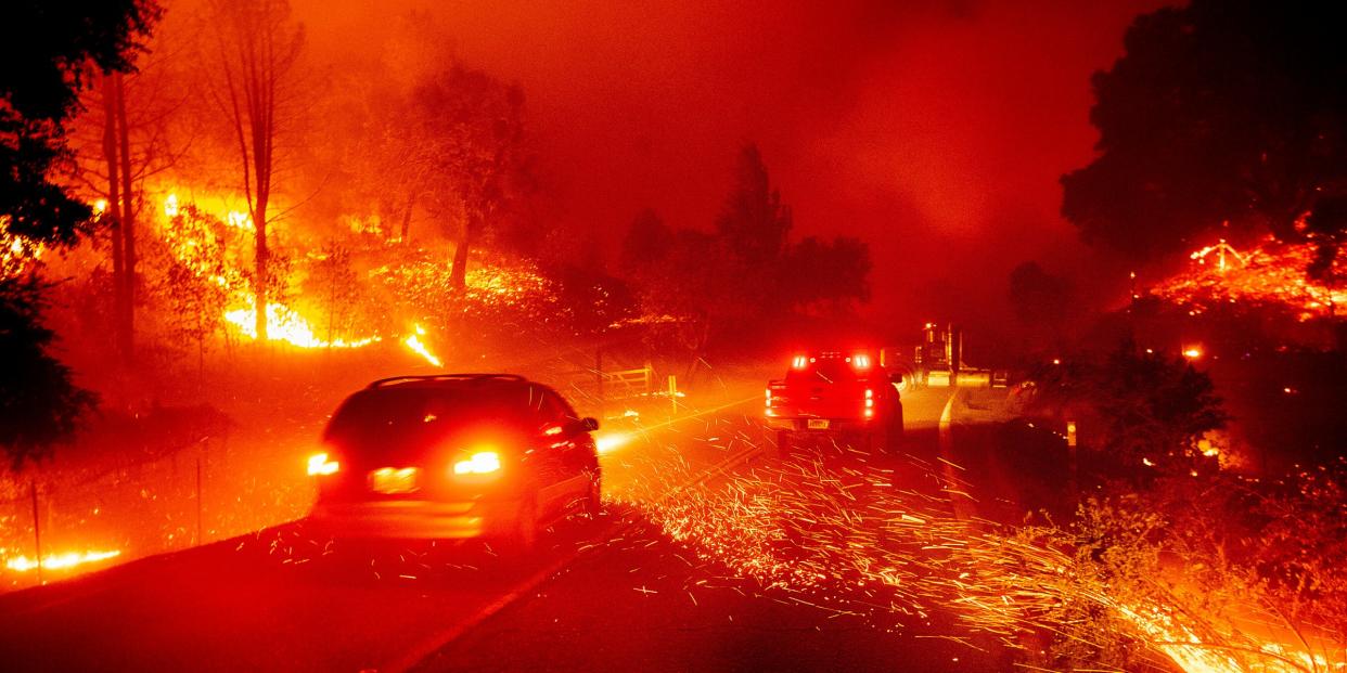
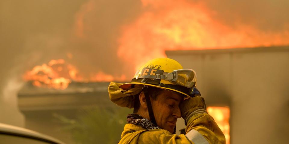
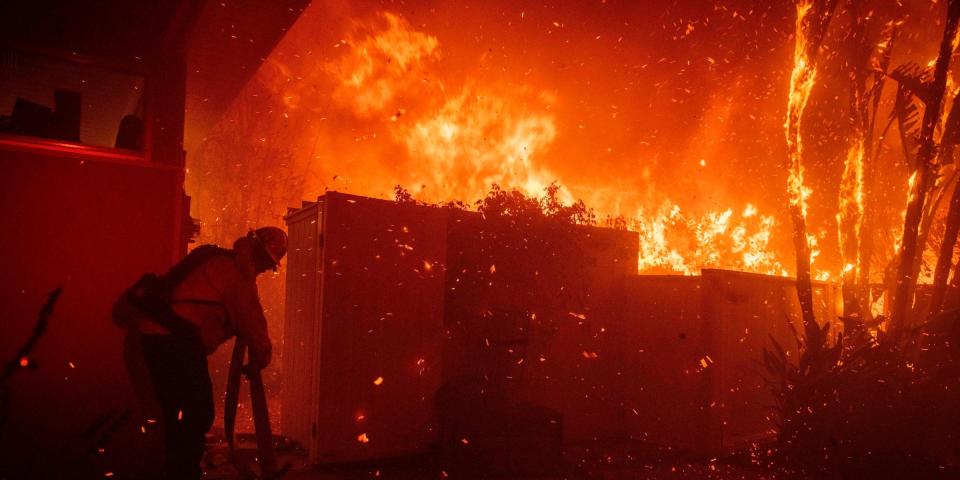
Strong winds paired with a fall heat wave made for a dangerous combination, as devastating wildfires across the state of California are prompting evacuations and destroying a multitude of structures.
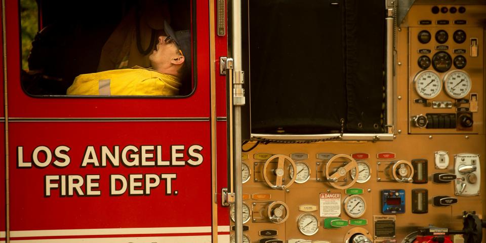
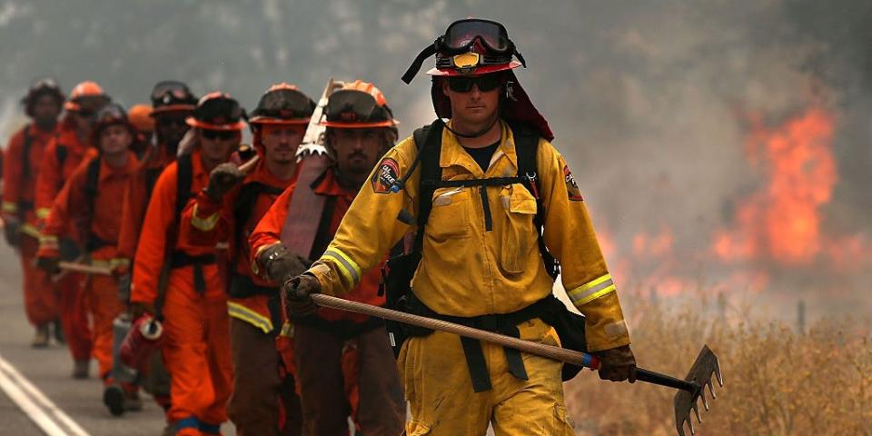
Bigger fires in northern and southern California continue to burn through thousands of acres of brush, threatening California's famous wine country and Los Angeles residents alike as responders rush to contain the flames.
Here's a look at the fires, where they are, and what percentage is contained.
Strong winds paired with high temperatures made for a dangerous combination. Wildfires across the state of California are prompting evacuations and destroying a multitude of structures.
A map generated by California Department of Forestry and Fire Protection depicted nine incidents as of Thursday evening, three of which — the Old Water fire, Caples fire, and Palisades fire — are no longer a threat and contained by firefighters on the ground.
Another fire — Copper fire — has at the time of writing burned 50 acres is to 90% contained. Bigger fires in northern and southern California continue to burn through thousands of acres of land, threatening California's famous wine country and Los Angeles residents alike as responders rush to contain the flames.
Here's a look at the fires, where they are, and what percentage is contained.
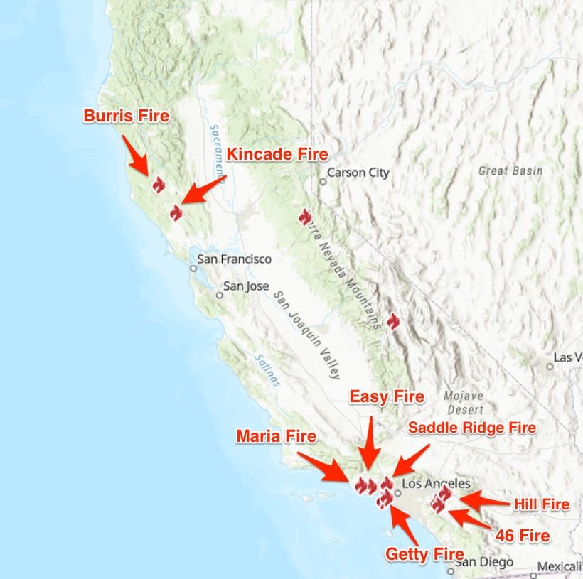
Cal Fire/Business Insider
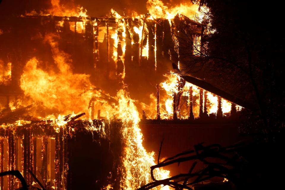
Kincade Fire
Stephen Lam/Reuters
The fire is located in Sonoma county in Northern California. Since it began on October 24, it has burned 77,758 acres and is 65% contained at the time of writing.
Saddle Ridge Fire
Gene Blevins/Reuters
The fire is located in Los Angeles county in Southern California. Since it began on October 10, it has burned 8,799 acres and is 97% contained at the time of writing.
Easy Fire

FREDERIC J. BROWN/AFP via Getty Images
The fire is located in Ventura county in Southern California. Since it began on October 30, it has burned 1,806 acres and is 60% contained at the time of writing.
Maria Fire
Ringo H.W. Chiu/AP
The fire is located in Ventura county in Southern California. Since it began on October 31, it has burned 750 acres and is 0% contained at the time of writing.
Burris Fire
AP Photo/Noah Berger
The fire is located in Ventura county in Southern California. Since it began on October 27, it has burned 703 acres and is 93% contained at the time of writing.
Hill Fire
Justin Sullivan/Getty Images
The fire is located in Riverside county in Southern California. Since it began on October 30, it has burned 628 acres and is 90% contained at the time of writing.
46 Fire
David McNew/Getty Images
The fire is located in Riverside county in Southern California. Since it began on October 31, it has burned 300 acres and is 50% contained at the time of writing.
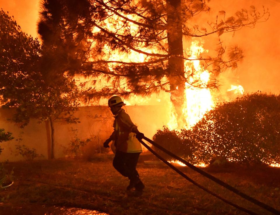
Getty Fire
Christian Monterrosa/AP
The fire is located in Los Angeles county in Southern California. Since it began on October 28, it has burned 745 acres and is 52% contained at the time of writing.
NOW WATCH: Traditional Peruvian restaurant in NYC serves beef heart skewers

