Here's what the National Weather Service is saying about this weekend's weather
The heavy rain has arrived in the Tri-State. Next comes the wind. And then the cold. And then the deep-freeze.
Here's what the National Weather Service said in its Friday update about several days of upcoming foul conditions.
Heavy rain, wind on Friday
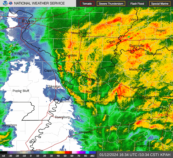
It's going to be a soggy day in the Evansville/Henderson area. Anywhere from 1-2.5 inches of rainfall are possible in those two cities, with localized higher amounts possible. The further west you go, the higher the totals will be. Mount Vernon, Illinois, for example, is expected to receive between 2 and 3 inches of rain.
The National Weather Service said the main time frame for any flooding or thunderstorm concerns is through 3 p.m. Central on Friday.
A high wind warning is in effect for much of the Tri-State through midnight. Widespread 40-60 mph wind gusts are expected Friday into Friday evening. The winds will blow around unsecured objects, forecasters warned, and some trees could be uprooted or blown over. Scattered power outages are expected, and high-profile vehicles such as semis will experience difficult driving conditions.
Then comes the cold and, maybe, a little snow
The weather service says a powerful cold front will sweep through the area Sunday night, bringing with it what forecasters are calling a "dangerous arctic air mass." Temperatures will be in the single digits for three consecutive nights, from Sunday through Tuesday.
The wind will make things feel worse. Wind chills on Sunday night are expected to drop to minus-3 degrees, and on Monday night will plummet to minus-12.
Forecasters say snow amount expectations for Sunday night and Monday are "trending lower" as the most moisture stays south of the area. Some light accumulations are possible in the southern parts of the Tri-State.
This kind of weather, for this long, doesn't happen often in the Tri-State
In its morning briefing, the weather service noted that there's a possibility of two unusual streaks taking place in Evansville.
It could remain below 20 degrees for three consecutive days in Evansville. That's only happened one time in the past 27 years in the city, from Dec. 31- Jan. 2, 2018.
It could remain below freezing for more than a week in Evansville. That's only happened four times in Evansville over the past 35 years. The longest was the historic 18-day cold snap from December 2000 through Jan. 3, 2001.
But wait, there's more
The National Weather Service said the record for lowest barometric pressure (a way meteorologists measure the intensity of a system) for January may be in jeopardy Friday afternoon.
In Evansville, the record low pressure is 985.7 mb, set just three days ago. The all-time record low pressure reading for the city is 976 mb, set on March 3, 2023.
This article originally appeared on Evansville Courier & Press: Will it snow in Evansville this weekend?
