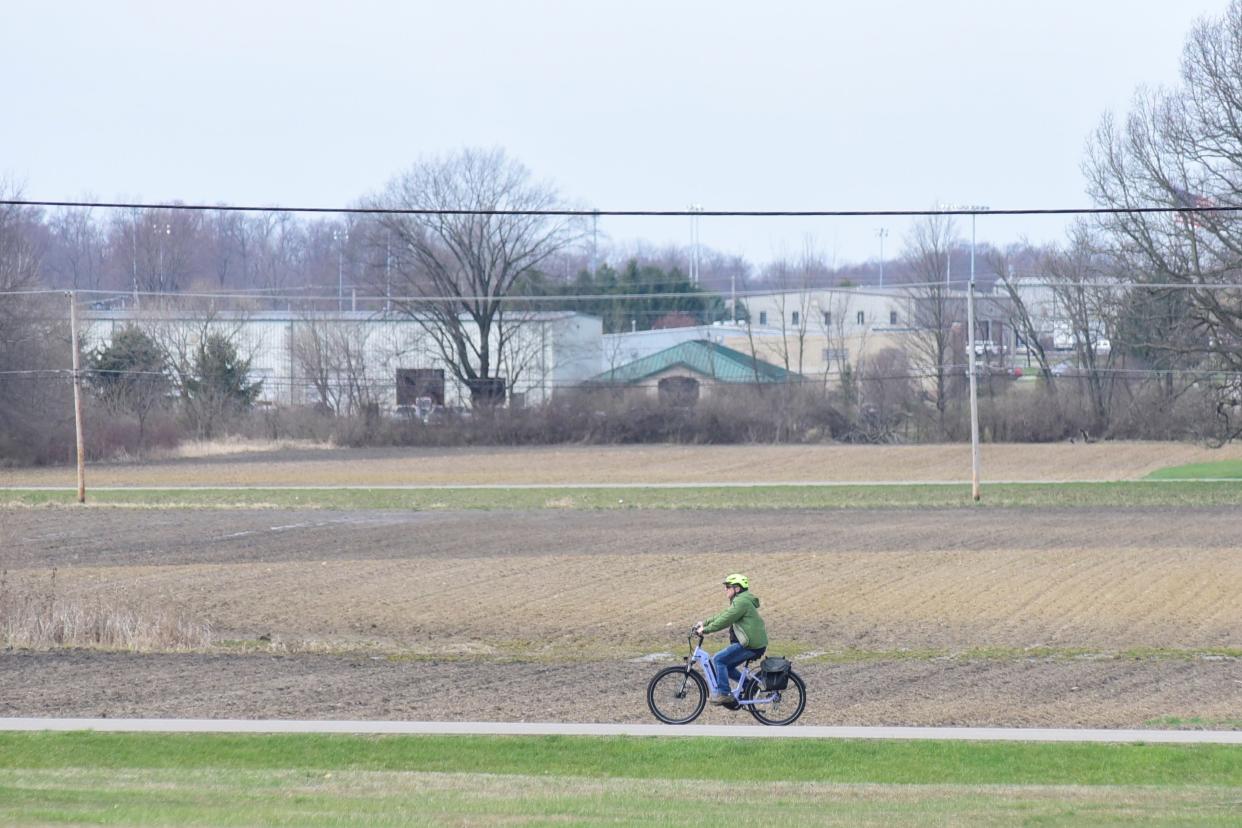
High temps expected, tornadoes possible Wednesday in North Central Ohio

Summer temperatures have finally returned to North Central Ohio.
Just days after heavy winds ripped through the region, residents are cautioned to keep an eye on the volatile forecast as the week develops.
The forecast heading into Wednesday was so warm — 76 — that it was within just a few degrees of breaking a record, according to Alexa Maines, a meteorologist who works in the Cleveland office of the National Weather Service.
"The record highest temperature is 79 degrees, which was set in 1988," Maines said.
Further east toward the Akron-Canton area, thermometers were forecast to break 80.
Those predictions were expected to change several times before the actual temperatures were recorded in the history books.
"With every forecast update, the temperature might fluctuate a degree or two," Maines said Tuesday afternoon.
'We can't rule out tornadoes'
Wednesday's warmth is a sign of weather to come, but still a slight anomaly for this time of year.
"The normal high is 56 degrees," Maines said.
A cold front Wednesday evening was forecast to push the warm air out of the Buckeye State.
"We’re kind of getting into a time of year where the temperatures fluctuate quite a bit," Maines said. "While the high Wednesday will be above average, it's not unusual. That happens."
The temperature, though, was only part of the story for Wednesday. The day's forecast was one of the first of spring where increased solar energy was affecting Earth's atmosphere.
"The main threat will be damaging wind gusts," Maines said. "Maybe some large hail. And we can't rule out tornadoes, either."
The greatest threat was forecast mid-afternoon to late evening, but this is the time of year where situations can develop quickly.
"People should remain weather-aware throughout the day," Maines said. "Have a plan in case something happens."
Tornado touched down 2 a.m. Saturday in Bucyrus
A tornado touched down 2 a.m. Saturday in Bucyrus, the weather service has confirmed. It was the region's first twister of the year.
Nobody was hurt in the storm, according to Jette Cander, EMA director for Crawford County. She said the tornado damage occurred between the villages of Sycamore and Chatfield.
The tornado was an EF-0 with maximum winds reported at 85 mph. Its path was 2.8-miles long and its width was 200 yards.
The short-lived tornado traveled in a north-south broken line across Crawford County. It touched down five miles east-northeast of Sycamore and lifted four miles west of Chatfield.
The tornado damaged roofs, barns and garages before pushing a silo over onto railroad tracks where it struck a westbound train.
About the same time that the tornado hit Crawford County on Saturday, straight-line winds of up to 70 mph swept through parts of Richland County, impacting 60 homes and businesses in Madison Township.
Temperatures warming from Thursday to Sunday
The low Thursday morning was forecast at 45, which is nearly 10 degrees above normal.
The following 48 hours were projected to be a little more seasonal.
"It will probably stay in the mid 50s Thursday and Friday for the highs," Maines said.
The lows each night were looking as though they would be in the mid 30s.
"Then it will start to warm up," Maines said.
Saturday's high was forecast at 58 degrees. Sunday's at 65.
"As we get closer, that may change," Maines said.
Frost expected for several more weeks
Those who shed their winter jackets this week should remember that summer has not arrived.
"A bunch of people might get excited about planting with the warmer weather," Maines said.
Ohio is still several weeks from being frost free. The magic date this year, according to almanac.com, will be May 2 in Mansfield and May 8 in Wooster.
Data collected at the Wooster branch of the Ohio State University show that the final freeze of the year didn't take place until April 29 last year, May 6 in 2021 and as late as May 13 in 2020.
Recordings taken at the Mansfield Lahm Regional Airport show that the average last freeze takes place April 30 every year, and the average last frost on May 12.
A freeze means 32 degrees, but frost can form on young plants at warmer temperatures.
"Frost can form in the upper 30s if the conditions are right," Maines said. "It can be as warm as 38 degrees."
ztuggle@gannett.com
419-564-3508
Twitter: @zachtuggle
This article originally appeared on Mansfield News Journal: High temps Wednesday could lead to tornados across North Central Ohio

