The snowiest winter in decades continues, with more storms on the way
This winter is one for the books, officially.
The statewide average snow water equivalent, which is essentially the amount of moisture in the snowpack, hit 26 inches on Friday, tying a decadeslong record and making the winter of 2022-23 one of the wettest in Utah’s recorded history, according to Natural Resources Conservation Service data.
And by Saturday, Jordan Clayton, supervisor of the Natural Resources Conservation Service’s Utah Snow Survey, expects the tie to break.
The Utah Snow Survey calculates those statewide averages at midnight — so the 26 inch figure is from last night, meaning that by Friday afternoon, amid a fresh several inches of snow in northern Utah, the state has likely exceeded it.
“It’s a done deal. We’ve broken the record as of today. It’s just a matter of having that official number,” said Clayton. “It’s a really amazing thing ... it’s very cool to be able to witness this.”
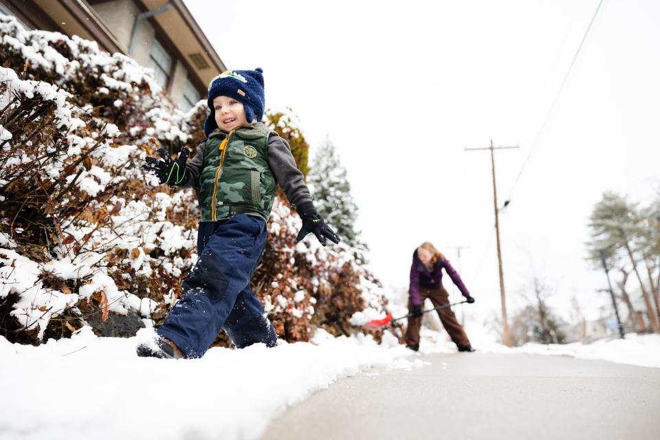
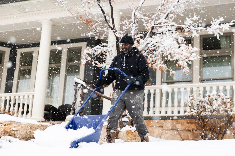
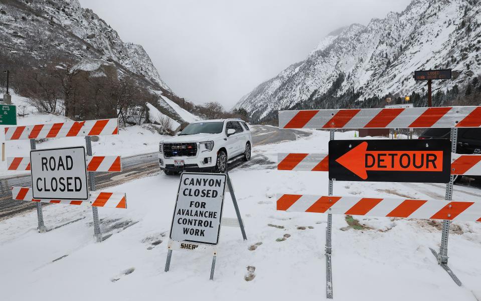
Utahns along the Wasatch Front woke up to several inches of snow on Friday — by evening, the National Weather Service says the storm could deliver up to four inches in the valleys, with nearly two feet forecast by Saturday morning at the top of Little Cottonwood Canyon.
The National Weather Service pointed out, “this is just the appetizer, folks.”
It's official: Utah ties the record statewide snowpack of 26 inches snow water equivalent set back in 1983. Today's winter storm will keep that number climbing. #Utah pic.twitter.com/DXqcNbVbl1
— Utah Division of Water Resources (@utahwaterres) March 24, 2023
As of roughly 1 p.m., the National Weather Service’s Salt Lake office had about 3.2 inches of snow. To the north, in parts of the Cache Valley, some residents reported 6 to 7 inches. And in Lehi and Orem, some residents say they had about 6 inches.
“It’s probably going to keep snowing up in the mountains, at least on and off,” said Hayden Mahan, a meteorologist with the National Weather Service in Salt Lake City. “And probably not too much to accumulate down here in the valley.”
But from Saturday afternoon and into Sunday, the switch will turn on again, with a lake effect band expected to set up along the northern Wasatch Front, in Davis and Weber counties and parts of Salt Lake County. Snow totals then could exceed Friday’s, with Mahan saying some areas could see 1 to 2 inches per hour.
“But it’s going to be very isolated. So some people will say, ‘what snow?’ and others will be like ‘make it stop!’” Mahan said.
Then by Tuesday, another system will hit the Wasatch Front, expected to carry over into Wednesday. That will likely dump even more snow in the mountains, and deliver a wintery mix in the valleys.
What differentiates this winter from others is the constant accumulation of high elevation snow. Unlike years past, the statewide snow water equivalent average has been on a steady, upward trend. By mid-March last year, for instance, moisture levels in the snowpack began to plummet.
“We’ve see a lot of loss of snow, particularly in our lower elevation sites, and it does cause the statewide value to dip down. But we really haven’t seen that this year, at all,” said Clayton.
It’s hard to imagine a bigger snow year, but it’s possible. This is the most moisture in the snowpack recorded since 1981, when the SNOTEL sites around the state became automated. However, the Utah Snow Survey does have data going back to the 1930s, and in 1952, Clayton says Utah had even more moisture in the snow than it does now.
“We can’t say that we’ve broken the all-time record since we recorded any data, but we can certainly say that we’ve broken the SNOTEL records going back to 1980, and I think we can confidently say that this is the most snow that Utah’s had in 70 years, since 1952,” he said. “But prior to 1930s? Who knows.”
As scientists, state officials and even Utah Gov. Spencer Cox have all pointed out, the winter’s impressive snowpack does put the state at increased risk for flooding when the temperatures start to climb. The heat and precipitation over the next several months will determine whether Utahns will be kayaking down their city streets come May.
Related
“The ideal scenario would be to limit how much moisture we continue to add to the snowpack, and keep the temperatures at or above normal,” Mahan said. If temperatures spike, or the mountains see a lot of rain on top of the snow, that could lead to dangerous flooding. It has less to do with the current snowpack, instead hinging on what mother nature throws at us.
“There are some years where we get below average snowfall, but get a really hot week that can melt a lot off really quickly, we can even see flooding problems,” Mahan said.
But for the foreseeable future, the National Weather Service expects temperatures to stay relatively cool, which is another feature of this year’s relentless winter. Not only has it been abnormally snowy, but the cold has been record-breaking, too.
“In addition to scattered snow showers continuing throughout the weekend, mainly across northern Utah, temperatures will be in excess of 20 degrees below average both Saturday and Sunday,” the National Weather Service said.
St. George has yet to see a 70-plus degree day this year — the latest recorded 70 degree day is March 26. According to the Weather Service, that record could be next.
“There is currently a 10% chance of reaching 70°F on Wednesday, March 29, so a new record is likely within reach,” the service said.