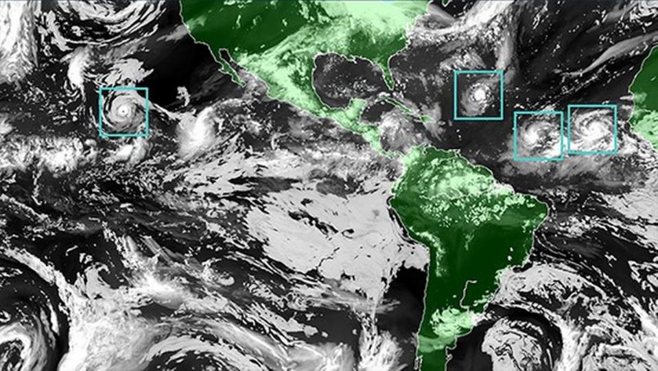
Hurricane center: No threat yet, but the Atlantic system has a 90% chance of forming
The National Hurricane Center is tracking Disturbance 1, a tropical wave that now the NHC says has a 90% chance of cyclone formation in the next seven days.
Where is the storm?
As of the National Hurricane Center’s 8 a.m. Sunday advisory says showers and thunderstorms continue to show signs of organization in association with a tropical wave located several hundred miles southwest of the Cabo Verde Islands.
How strong is the system?
According to the NHC, “Environmental conditions appear conducive for additional development, and a tropical depression is likely to form over the next day or two.”
That’s still a long journey to Florida or the Caribbean. But, the forecast track cone is edging toward the eastern Caribbean.
If it strengthens into a tropical storm, it would be Bret, the season’s second-named storm.
▪ Formation chance through 48 hours is low at 80%.
▪ Formation chance through one week is high at 90%.
16 June 8AM EDT: NHC is monitoring a tropical wave off the west coast of Africa. A tropical depression could form during the early to middle portions of next week while the system moves westward across the tropical Atlantic. For more: https://t.co/tW4KeGe9uJ pic.twitter.com/H3jnWIXdKc
— National Hurricane Center (@NHC_Atlantic) June 16, 2023
Watches and warnings
There are no watches, warnings or risks as of Sunday’s 8 a.m. advisory.
KNOW MORE: Forecasters get a hurricane model upgrade. Will better predictions follow?

Why we should care
According to WPLG hurricane specialist Michael Lowry, who writes on his Eye on the Tropics blog, fewer than 1% of storms that form in June in the band of deep tropical waters between Africa and the Caribbean develop into anything. This area is where most of the strongest hurricanes originate but that’s not until later in the season, July or August.
But he notes that this “vigorous system” is feeding off unusually heated Atlantic 81.5 degree waters that are at a temperature in June it usually takes until September to achieve. This heat can provide fuel to budding storms.
Forecast models also show a drop in storm-prohibitive wind shear early to mid-week in the formation chance period.
The system could bend northwest late next week, and Lowry notes, “it’s too early to say what impact the system might have if any on the Lesser Antilles, but interests in the eastern Caribbean islands will want to monitor the changing forecasts next week. For us in South Florida and on the U.S. mainland, the system has a long journey ahead and for now poses no threat.”

