With Hurricane Lee on the move, Cape Cod harbormasters advise mariners to prepare, in case
Read the latest hurricane update, as of Sept. 12, here.
With the third hurricane of the season raising eyebrows at how fast it has gathered strength, and tracking north-northwest, at least some of Cape Cod's harbormasters are dusting off their emergency plans and advising local mariners to make sure they're prepared, too — just in case.
While it's yet unknown exactly where Hurricane Lee is headed, and whether it will make landfall or eventually dissipate over the ocean, forecasters at the National Hurricane Center — a part of the National Oceanographic and Atmospheric Administration's National Weather Service — as well as at AccuWeather, agree it's one New Englanders should keep an eye on.
Provincetown Harbormaster Don German on Friday morning put out a townwide alert for those with boats in the water to be ready if necessary. He acknowledged it's too soon to know if the storm will come at New England, "but it's not too early to start preparation."
"I want people to begin thinking now, 'Do I have enough fuel in my boat to get into the boat ramp?', 'Is my trailer accessible and in good working order?', "Do I have the help I need should I need to get my boat out of the water quickly?'," he said. "I'm just asking people to begin to think about the process they should go through should we be impacted."
Chatham Harbormaster Stuart Smith also issued a general advisory on Friday, though focusing more on being prepared as the 2023 hurricane season ramps up.
"It's a pretty standard advisory for people to keep an eye on the weather and check their boats," he said.
Even so, Hurricane Lee's potential to head for the region adds some extra oomph to the advisory.
No safe place for boats in waters off Chatham if hurricane hits
"Whenever hurricanes go west of Bermuda it's something we keep an eye on," said Smith. "This one still has the (predicted) tracks east of Cape Cod, but some of them are too close for comfort."
And Chatham, he pointed out, is no place to mess around if a major storm comes through or even sideswipes, as it is exposed on all sides.
"Whether we get a direct approach to Cape Cod or Chatham, or not, a lot of (hurricanes) go offshore and they kick up large waves that make our east-facing inlets and beaches hazardous," he explained. "It could be a nice day but we have large surf and waves we have to pay attention to."
Fishermen urged to make storm refuge plans
Fishermen and other mariners are advised to review their storm refuge plans now, make sure trailers and mooring tackle are in good condition, and be prepared to take action. Those who can haul out their boats should be ready to do so well ahead of an arriving storm "to avoid the last-minute rush" at local boat ramps, Smith said.
"It takes a long time to secure boats," he said, "and Chatham has almost 3,000 of them."
For boats that cannot be trailered, Smith advises, "Boat owners should consider relocating to a protected harbor, which generally speaking, does not include harbors on Cape Cod and Chatham." For anyone intending to keep boats on current moorings, the Chatham advisory notes, "It is imperative that you verify that the mooring hawser, chain and chaffing gear are all in good working condition. Keep in mind that the mooring tackle specifications required by the harbormaster are not rated for hurricane conditions."
Smith also advises boat owners to verify that their boat batteries are charged, and bilge pumps are working properly, and to make sure their insurance policies are up to date.
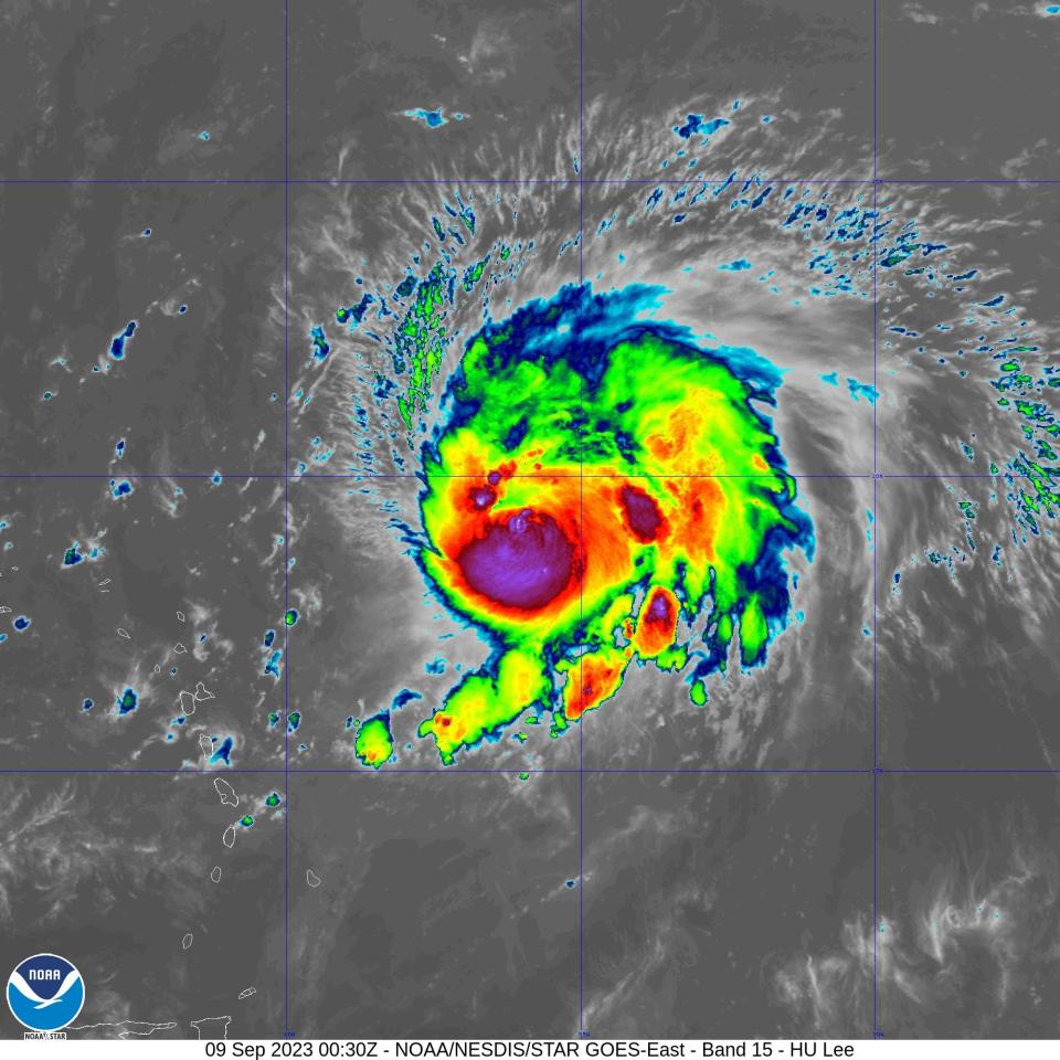
Hurricane Lee teetering between a Catagory 5 and 4 storm
Hurricane Lee has been teetering between a Category 5 and a Category 4 storm on the Saffir-Simpson Hurricane Wind Scale since Thursday. The storm earned hurricane status on Tuesday as it churned east of the Leeward Islands, and has been gaining strength over what the National Hurricane Center is describing as "record warm" water — and the fact that the Gulf of Maine is considered one of the fastest warming bodies of water on the planet, this could pose a problem should the storm track toward the region instead of veering off to the east over the north Atlantic.
Caroline Ummenhofer, an oceanographer and climatologist with the Woods Hole Oceanographic Institution, recently told the Times she and other scientists have been watching, with concern, heat waves in the oceans, which not only affect ocean dynamics and the animals that live in it but also provide fuel for hurricanes to become bigger, more frequent and more destructive. This includes the added potential for major hurricanes to travel "a lot further north than they normally would," to areas that are far from prepared for them.
Hurricane Lee expected to kick up dangerous waves, rip currents on the Cape and Islands
According to the National Hurricane Center, Lee is expected "to move well north of the northern Leeward Islands, the Virgin Islands, and Puerto Rico this weekend and early next week."
Although forecasters with the service stressed on Friday morning that "it is way too soon to know what level of impacts, if any, the storm might have along the U.S. East Coast, Atlantic Canada, or Bermuda late next week," at the very least Cape Codders and fellow New Englanders should expect "dangerous surf and rip currents" beginning Sunday.
National Weather Service meteorologist Bryce Williams on Friday also told Wicked Local it's early yet to predict if Lee will hit New England, but "one thing I can say is that it's forecast to strengthen. Meteorologists should know more "by the end of next week," he told the Times' sister news service.
According to AccuWeather, a number of long-range models show the storm moving in more of a northeast direction. But the storm has been a surprising one, especially with how quickly it's ramped up — it went from a Category 1 storm to a Category 5 within 24 hours. AccuWeather reports that only six other Atlantic hurricanes have changed in intensity so rapidly: Eta (2020), Maria (2017), Matthew (2016), Ike (2008), Felix (2007) and Wilma (2005).
Whether or not Hurricane Lee turns toward New England or stays over the ocean will depend on the jet stream. If it pushes out along the coast, it is likely to be enough to keep the storm toward the east, but if it dips south and toward the Midwest, the storm could have more wiggle room to slide westward
Coming up on Lee's heels is Tropical Storm Margot. Forecasters predict it could strengthen enough to become a hurricane in the next few days.
Heather McCarron writes about climate change, environment, energy, science and the natural world. Reach her at hmccarron@capecodonline.com, or follow her on Twitter @HMcCarron_CCT
The Cape Cod Times is providing this coverage for free as a public service. Please take a moment to support local journalism.
This article originally appeared on Cape Cod Times: Just in case. Cape Codders advised to be ready for Hurricane Lee.

