As hurricane season arrives in Delaware, here are some preparation and evacuation tips
Many of us are eagerly waiting for the start of summer, but don’t sleep on the arrival of hurricane season.
While daydreaming about beach vacations is more exciting than brainstorming evacuation routes, making sure you’re prepared for hurricane season is a worthwhile pursuit.
What is a hurricane?
A hurricane, also known as a typhoon or cyclone, is a storm that has maximum sustained winds of 74 mph. Tropical storms have a maximum sustained surface wind speed of 39 to 73 mph, according to the National Weather Service (NWS).
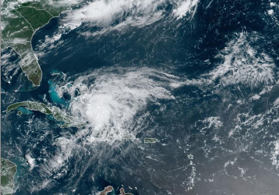
Hurricanes originate in the Atlantic basin, which includes the Atlantic Ocean, Caribbean Sea, Gulf of Mexico, the eastern North Pacific Ocean, and, less frequently, the central North Pacific Ocean.
A six-year rotating list of names, maintained by the World Meteorological Organization, is used to identify storms.
When does hurricane season begin?
The hurricane season begins on June 1 and ends on Nov. 30., according to the National Ocean Service of the National Oceanic and Atmospheric Administration (NOAA), but hurricanes can, and have, occurred outside of this time frame.
According to NOAA’s National Hurricane Center, which predicts and tracks storms, hurricanes occur, on average, 12 times a year in the Atlantic basin.
Hurricane season 2023
The Climate Prediction Center, a division of NWS, in accordance with NOAA forecasters, has predicted “near-normal hurricane activity in the Atlantic this year.”
A 40% chance of a near-normal season, a 30% chance of an above-normal season and a 30% chance of a below-normal season were reported by NOAA.
The organization is 70% confident in forecasting a range of 12 to 17 total named storms with winds of 39 mph or higher. Of these, five to nine could become hurricanes with winds of 74 mph or greater, including one to four major hurricanes in Categories 3, 4 or 5 with winds of 111 mph or higher.
NOAA scientists predict a high potential for El Niño to develop, due to three hurricane seasons with La Niña present.
El Niño refers to the above-average sea-surface temperatures that periodically develop across the east-central equatorial Pacific. It represents the warm phase of the ENSO cycle. La Niña refers to the periodic cooling of sea-surface temperatures across the east-central equatorial Pacific, according to the National Weather Service.
What is the difference between a hurricane watch and a hurricane warning?

Hurricanes come in a variety of severities, and depending on the type of storm, different warnings are issued to alert the public about potential hazards and safety information.
A tropical storm or hurricane watch is when sustained winds of the relevant category or higher are possible within a specific area. They usually are issued 48 hours in advance of the area being hit by storm force winds.
Watch vs. Warning: Tornado guide: tornado watch vs. warning, emergency supplies and alerts, and more
A tropical storm or hurricane warning is when sustained winds of the relevant category or higher are expected shortly to affect the specific area. These usually are issued 36 hours in advance of the area being hit by storm force winds.
Hurricane severity
The Saffir-Simpson Hurricane Wind Scale is a 1 to 5 rating, or category, based on a hurricane’s maximum sustained winds. The higher the category, the greater the hurricane’s potential for property damage, according to the National Ocean Service of the NOAA.
Hurricane categories are as follows, according to PrepareDE.org:
Category 1: 74 to 95 mph with dangerous winds that will cause some damage.
Category 2: 96 to 110 mph with dangerous winds that will cause extensive damage including major roof and siding damage.
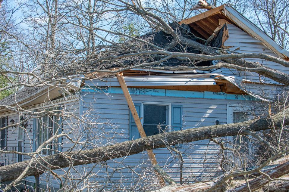
Category 3: 111 to 129 mph with dangerous winds that will cause devastating damage including removal of roof and decks. Electricity and water unavailable for several days to weeks.
Category 4: 130 to 156 mph with dangerous winds that will cause catastrophic damage including most of roof structure and some exterior walls, uprooted trees, downed power lines, and power outages that can last weeks or months.
Category 5: 157 mph or higher with dangerous winds that will cause catastrophic damage including total destruction of built structures, total roof failure, and wall collapses. The area will be uninhabitable for weeks or months.
Hurricane preparation tips
The Delaware Emergency Management Agency (DEMA) urges residents to know the hurricane and storm surge risk in their areas in the event of a hurricane.
If you are in a flood zone, you may be asked to evacuate in advance of a severe weather event. These can be planned out by checking the Delaware Department of Transportation state evacuation routes.
Opting for flood insurance, which can take up to 30 days to go into effect, is a good choice for peace of mind, too.
If you end up sheltering in place during a hurricane, the American Red Cross advises the following:
Be prepared to live without water, gas, power, phones and internet for an extended period of time.
A safe place to shelter is a small, interior, windowless room in a sturdy building on the lowest level that is not likely to flood. Wearing a helmet or covering yourself with mattress can add protection.
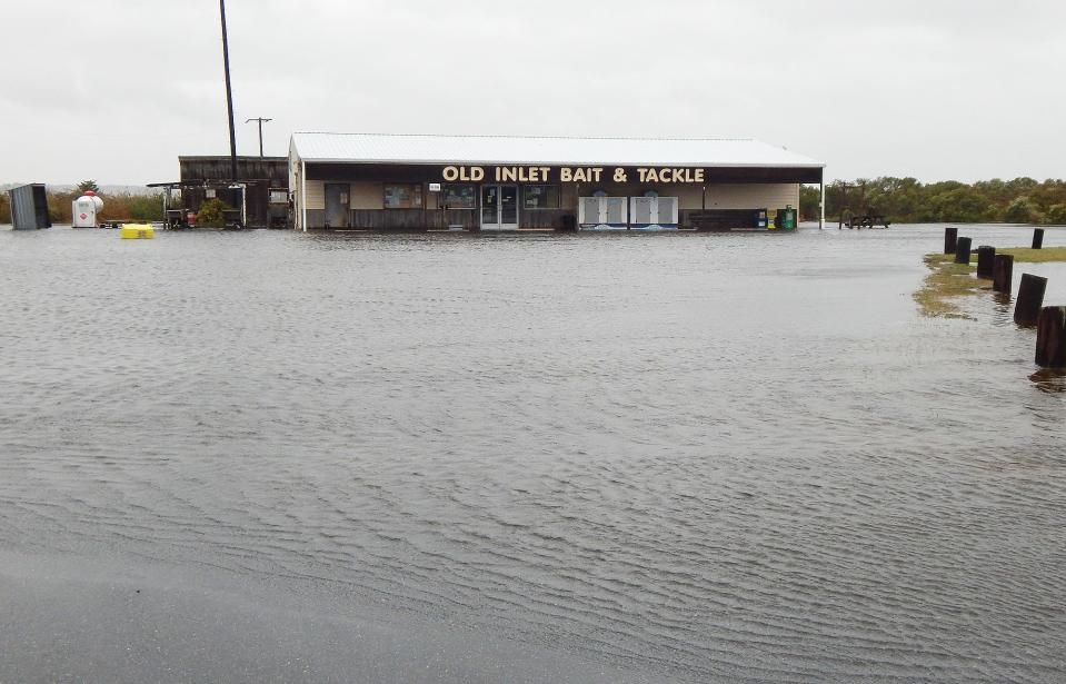
If you are in an area that is likely to flood, identify a location on higher ground you can get to before floodwaters reach you.
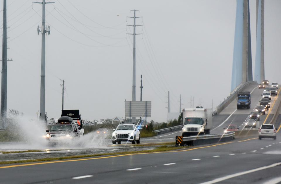
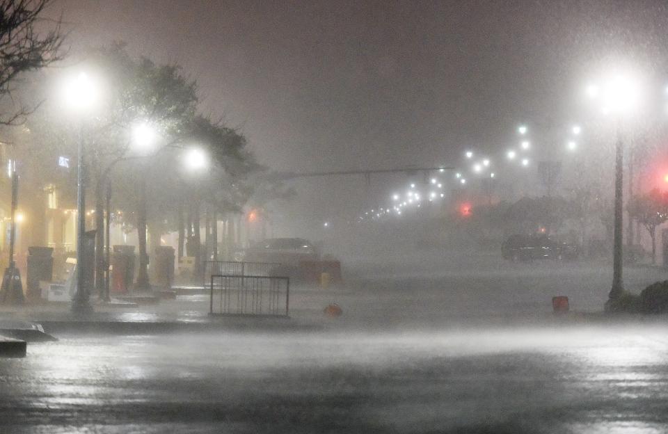
The National Weather Service advises against driving through flood waters. A foot of water can be powerful enough to sweep a car away.
What to do if a hurricane evacuation is needed

Planning for severe weather events in advance helps you remain prepared, especially if an evacuation is ordered without much time to spare, according to DEMA.
Before an evacuation is needed, become familiar with what shelter spaces are available in the area and identify what friends, family or other options you can use in an emergency. Be sure to consider accommodations for your pets.
Create a family or household plan for staying in touch in emergency situations in case you become separated. Set a meeting place and update it based on the situation.
Other tips include:
Assemble supplies in a “go-bag” or emergency kit you can carry on foot or on public transportation. Have a different set of supplies reserved for car evacuations.
Keep a full tank of gas in your car if an evacuation is announced as a possibility. Always keep a half tank of gas at all times; gas stations may be closed during emergencies or down due to power outages.
If you do not have a car, plan how you will leave. Work with friends, family or local emergency management offices to see what resources are available.
If you find yourself in an area that is instructed to evacuate, it is important to follow instructions from emergency personnel or emergency communication channels.
Leave early enough to avoid being trapped by severe weather, listen to a battery- or solar-powered radio, take your emergency supply kit and strictly follow evacuation routes and instructions.
Public shelters might be an option if you do not have a place to go but beware that most shelters only take in service animals.
Other helpful actions include:
Call emergency contacts in advance and keep them updated on your whereabouts.
Secure your home by closing and locking all doors and windows.
Unplug electrical equipment like TVs, radios and small appliances, but leave freezers and refrigerators plugged in unless there is a flooding risk. Shut off the water, gas and electricity before leaving if instructed to do so.
Wear sturdy shoes and protective clothing.
Check if neighbors need a ride to safety.
After evacuation, check with local officials before traveling back to your residence. Do not travel home before storm debris is cleared and let friends and family know your travel plans, your departure time and your arrival time.
More post-evacuation tips include:
Fill up your gas tank. Download a fuel app to check for outages along your route.
Bring supplies like water and non-perishable food for the car ride.
Only use generators outside and away from your home. Never use a generator inside a home or garage or connect it to your home’s electrical system.
Follow recommended evacuation routes. Shortcuts might be blocked.
Be on the lookout for road hazards like downed power lines and washed-out bridges or roads.
Do not drive in flooded areas.
Emergency alert services
The Delaware Emergency Notification System (DENS) is the main system for emergency protective action information and public warning in Delaware.
DENS allows local 911 centers or emergency managers to send messages to specific streets, neighborhoods or larger areas affected by an emergency event. This can be delivered to answering machines and voicemails if the landline telephone is not reached.
More about alerts: Here's why Sussex tornado victims didn't get cellphone emergency alerts April 1
If you have a landline, your number and address are already in the DENS database. Cell phones are not automatically input in the database of contacts in the area. To receive notifications from this service, you must register your cell phone number. Multiple numbers may be registered.
Smart911 is a similar service. It provides emergency communications and allows you to easily share medial information with first responders once you register.
For more information about Emergency Alert System (EAS) radio stations, power contact numbers by city and local Delaware TV stations, visit www.preparede.org/resources.
Emergency kit information
Whether you’re dealing with a hurricane or another natural disaster, having an emergency kit during emergency situations will help you safely stay in place until the event passes.
If you already have an emergency kit, make sure you replace expired items as needed and review the items at least twice a year.
Updating items to reflect changes in household needs or seasonal demands will also help you stay on top of what your needs may be during a disaster.
The main types of kits include an emergency shelter-in-place kit, which can be used for an extended stay at home of three or more days; a go-bag for immediate evacuation of your home, which is a scaled-down version of the emergency shelter-in-place kit; and a travel kit, which is for your vehicle and can be used if you are traveling for work or vacation, according to PrepareDE.org.
Examples of emergency items include:
One gallon of water per person per day.
Three-day supply of non-perishable food and a can opener.
First-aid kit and medications.
Flashlight.
Whistle to signal for help.
Cellphone power bank or car changer.
Recent photos of your household and a copy of important documents in a waterproof portable container or sealed Ziploc bag.
Special-needs items for children, seniors and those with disabilities.
Complete change of weather-appropriate clothing per person in the household.
For a complete list of items needed in a first-aid kit, an emergency kit, for pets or for those with special needs, visit PrepareDE.org.
Got a tip or a story idea? Contact Krys'tal Griffin at kgriffin@delawareonline.com.
This article originally appeared on Delaware News Journal: Prepare for hurricane season in Delaware with these tips, reminders

