Increased wildfire activity expected this weekend before cold front, light rain next week
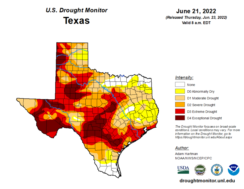
Forecasters and state fire officials are projecting increased wildfire activity across West Texas and much of the state this weekend as widespread triple-digit temperatures and dry conditions persist for the third consecutive week.
In Lubbock, Thursday's southwesterly winds, averaging between 10 to 15 mph, will boost temperatures to 100 degrees or more and contribute to heightened fire conditions, according to the National Weather Service in Lubbock.
Winds will become more southwesterly on Thursday which will boost temperatures higher across the area. Most locations will see highs near or just above 100, while areas near the TX/NM state line will remain in the mid 90s. pic.twitter.com/auWHS37tjz
— NWS Lubbock (@NWSLubbock) June 22, 2022
Similar temperatures are expected until Sunday, when the forecast shows a slight temperature drop — down to the upper-80s — before possible light rain on Tuesday and Wednesday.
"There will be some spots that get a little more rain," said National Weather Service senior forecaster Matthew Ziebell. "But we're not seeing the potential for more any time soon."
Until then, experts warn of increased potential for significant wildfires in communities where dry to critically dry vegetation is present, including the South Plains and Panhandle.
"One saving grace for us (with wildfires) is that we're coming out of the really windy days that we often experience in springtime," said Ziebell.
According to the Texas A&M Forest Service, this year's wildfire activity has already trended above normal for acres burned and number of fire responses. On average, state and local fire resources have responded to 4,047 wildfires for 188,259 acres, each year, for the the last 5 years.
This year, firefighters have already responded to 5,047 wildfires that have burned 527,241 acres across the state.
This article originally appeared on Lubbock Avalanche-Journal: Increased wildfire activity expected this weekend before cold front

