Indiana has new data to protect Hoosiers from flooding. Lawmakers don't want us to use it.
Indiana lawmakers are trying to undo a law they passed just last year in a move opponents say would put thousands of Hoosiers at risk of flooding for the benefit of a few.
The state’s new floodplain mapping tool created last year received national recognition for its easy access to "data that was previously unavailable” — but Senate Bill 242 would let officials ignore the important data.
The bill, authored by Sen. Jean Leising, R-Oldenburg, is awaiting third reading on the House floor.

What does the bill do?
Last year, lawmakers passed legislation requiring local officials to use the "best available" data when considering building permits and determining where floodplains are. The new bill, however, would undo that language.
Instead, officials would use data from FEMA, or the Federal Emergency Management Agency. Many of those maps are 10 to 40 years old and produced with outdated technology. Parts of Indiana were never mapped by FEMA.
Environment bills: Environmental groups, Democrats blindsided by amendment further gutting wetland protection
What is the floodplain data?
The data mapping tool was produced by the Indiana Department of Natural Resources. The agency used the most up-to-date technology and mapped the entire state.
The Indiana Floodplain Information Portal “expanded upon FEMA mapping to reflect flood-prone areas more comprehensively ... filling in gaps from the federally developed maps,” the DNR told IndyStar.
What do supporters say?
Leising said lawmakers didn’t know the “best available data” language was in the bill last year and want it removed.
The change is supported by the Indiana Builders Association, Indiana Association of Realtors and some landowners unable to build because the updated maps show they are in a floodplain.
They contend the new data risk is driving down real estate values, blocking development and infringing on property rights.
What do opponents say?
Critics say the proposed change undermines innovative technology that can reduce flood damage.
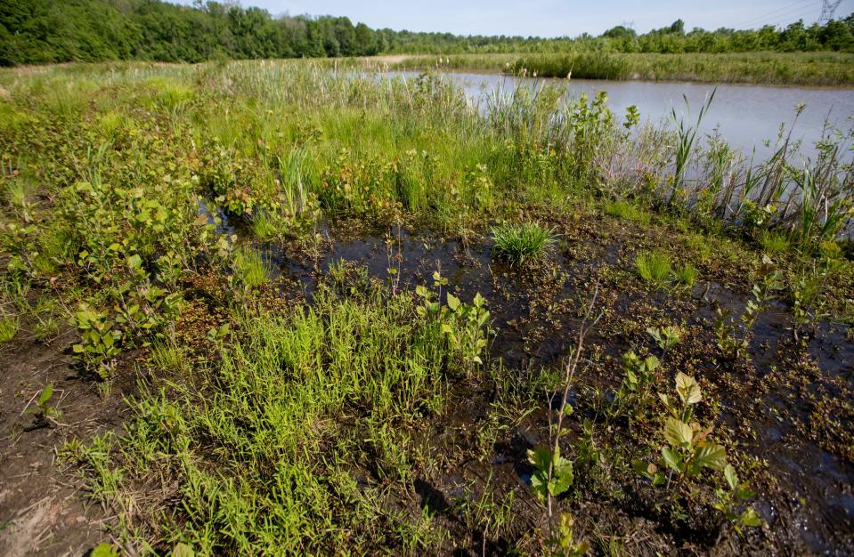
Floodplains are critical for the environment: They help hold and soak up excess water, especially as Indiana continues to see more intense storms and rainfall.
Opponents argue removing the requirement to use the data does not remove the risk.
What’s at stake?
Critics of SB 242 said a better alternative would be more training to local officials on how to use the data, and a consistent review process for homeowners who want to challenge the mapping.
They stressed new data is critical to keep homeowners safe and avoid more flooding from development. They said this is particularly important because wetlands across Indiana also are on the chopping block.
An unexpected amendment to a bill this year further chips away at the few remaining safeguards.
Call IndyStar reporter Sarah Bowman at 317-444-6129 or email at sarah.bowman@indystar.com. Follow her on Twitter and Facebook: @IndyStarSarah. Connect with IndyStar’s environmental reporters: Join The Scrub on Facebook.
Karl Schneider is an IndyStar environment reporter. You can reach him at karl.schneider@indystar.com. Follow him on Twitter @karlstartswithk
IndyStar's environmental reporting project is made possible through the generous support of the nonprofit Nina Mason Pulliam Charitable Trust.
This article originally appeared on Indianapolis Star: Indiana lawmakers want cities to ignore award-winning flooding data

