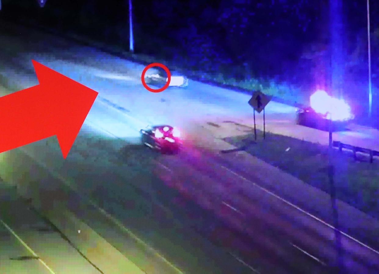
This interactive map depicts Akron police's pursuit of Jayland Walker
Jayland Walker, 25, was killed by Akron police following a car chase that began in the city’s North Hill neighborhood and ended in Firestone Park June 27.
The incident has become the subject of protests, local legislation and an overall degradation between Akron’s police and community members.
Jayland Walker's autopsy: Jayland Walker had 46 entrance wounds and died from 'devastating injuries,' examiner says
The Beacon Journal used multiple videos from the Akron Police Department and the Ohio Department of Transportation as well as audio from police radio traffic to determine the route and key points in the chase and fatal shooting of Jayland Walker. This interactive map created from these sources illustrates that long-debated pursuit.
Why do they run?: 'Fear is a real thing,' for Blacks when having to deal with police officers
While not shown on this map, officers encountered Jayland Walker's car twice on the night he was shot and killed by police, according to Akron FOP President Clay Cozart. The leader of Akron's police union said the same officers had first spotted Walker's car just minutes before the fateful chase near North Howard Street and Tallmadge Avenue and learned the car had been in a police pursuit the day before in New Franklin.
Note: For in-map videos, there is a slight lag between what is happening on screen and the audio.
Special grand jury: What to know about the special grand jury convening Jayland Walker's shooting
Beacon sues for transparency in Akron: Beacon Journal asks Ohio Supreme Court to order release of Akron police records
Contact Beacon Journal reporter Tawney Beans at tbeans@gannett.com and on Twitter @TawneyBeans. Reach reporter Doug Livingston at dlivignston@thebeaconjournal.com or 330-996-3792.
This article originally appeared on Akron Beacon Journal: Map depicts pursuit of Jayland Walker, shooting by Akron police

