Interactive map: See where wildfires are burning across California
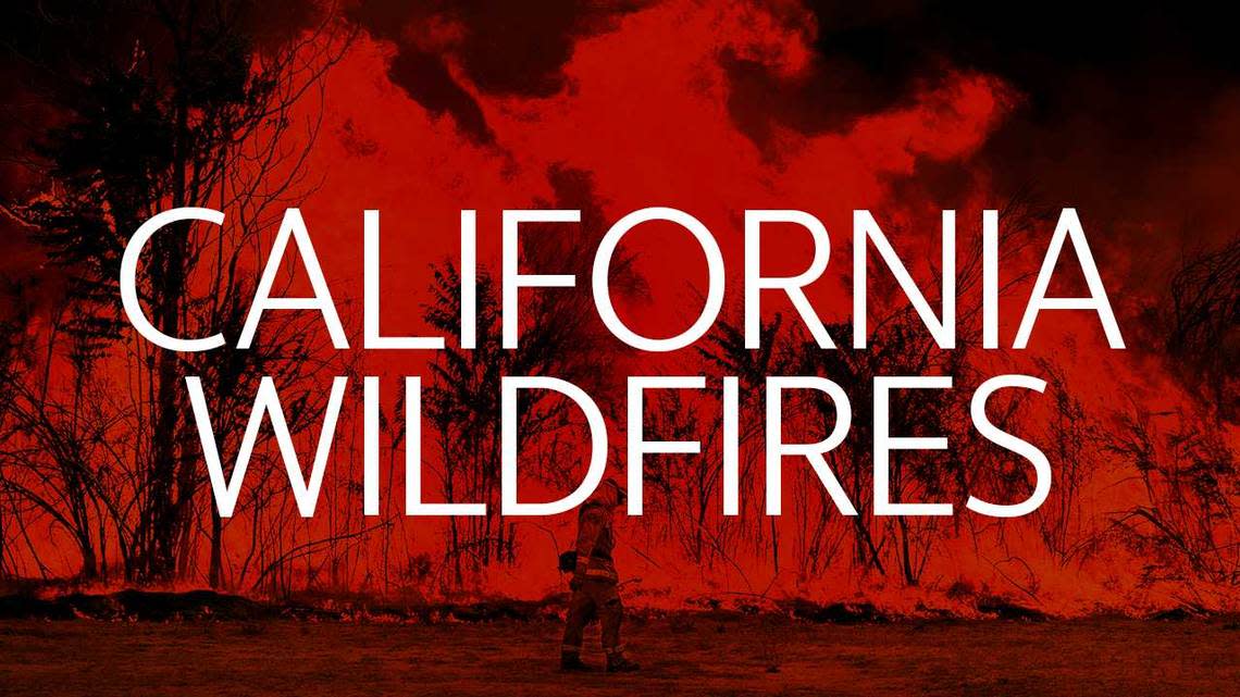
Over 44,170 wildfires have burned 7.1 million acres this year in the U.S. as of Friday, Sept. 25, according to the National Interagency Fire Center, which coordinates national fire response.
The majority of the acreage burned has been in California. Cal Fire said in its Friday update that since Jan. 1 “well over 8,000 wildfires ... have burned over 3.6 million acres in California.”
Since Aug. 15, with the start of a series of lightning storms to cross Northern California, there have been 29 fatalities and over 7,000 structures destroyed statewide, according to Cal Fire.
Here’s where to find the latest updates today on some of the current wildfires in California:
Zogg Fire in Shasta County
Creek Fire in Fresno County
West Zone Fire in Butte County
Glass Fire in Napa County
Dolan Fire near Big Sur
The map below shows actively reported fires across the entire state. Use your mouse or touch screen to pan around and see different areas and updates.
Active fires
This map shows wildfires larger than 1 acre within the past 7 days. The larger the circle, the larger the wildfire by acres. Data is from the US Department of the Interior, Office of Wildland Fire, IRWIN, NIFC, NASA, NOAA, and ESRI and is updated every 15 minutes.

