Jackson metro could see baseball-size hail as storm system passes through
This weather update is provided free as a public service to our readers. To support local journalism, please consider subscribing to the Clarion Ledger or Hattiesburg American.
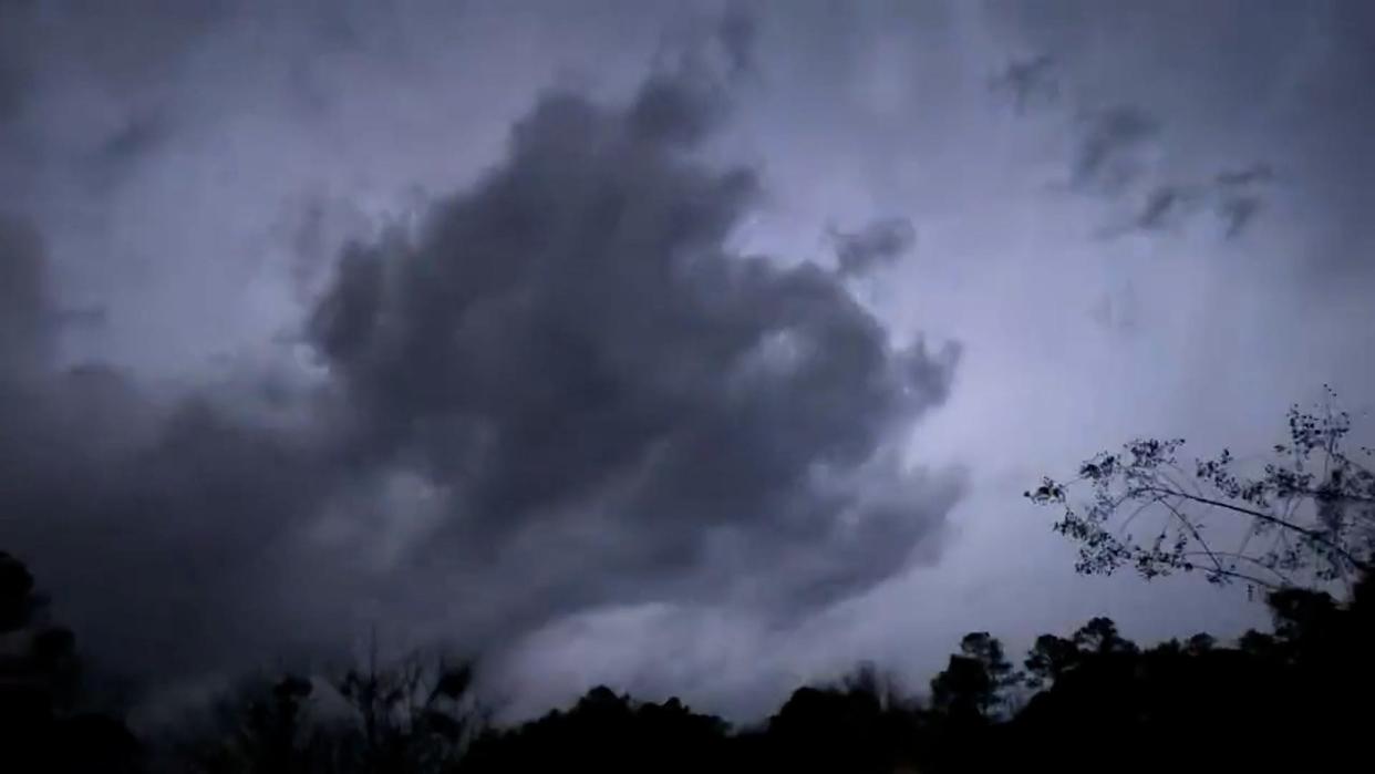
The Jackson metro area is bracing for a round of storms this afternoon that could see some damaging winds and large hail — with sizes ranging from golf ball to baseball, a National Weather Service meteorologist said.
This is monster stuff!
5+ inch hail stone from near Brooksville in Noxubee County. Sent in by Jeremy via the @WTVAWeather App. #MSWx@NWSJacksonMS @wtva9news pic.twitter.com/7IXP73bSCB— Matt Laubhan, CBM (@matt_laubhan) June 14, 2023
Lance Perrilloux, who works in the Jackson office said the storms will affect mainly northern and central Mississippi.
"This morning/afternoon has been very eventful," he said. "It's only going to get worse."
Damaging winds and possible tornadoes toppled trees, damaged buildings and blew cars off a highway Wednesday as powerful storms crossed the South from Texas to Georgia, the Associated Press reported.
3:30 p.m. 'Particularly dangerous'
The National Weather Service Storm Prediction Center in Norman, Oklahoma, reported that within the severe thunderstorm warning is a "particularly dangerous situation" ahead for parts of Mississippi and Louisiana. The affected area could see hurricane-strength winds and hail of all sizes. A tornado cannot be ruled out.
Power outages also are possible with the storm.
The NWS center issued a severe thunderstorm watch until 8 p.m. for 42 of the state's 82 counties. The storm watch affects parts of Mississippi, Louisiana and Arkansas.
Perrilloux said one storm cell after another has been pummeling the northern part of the state along the U.S. 82 corridor, with hail the size of tennis balls reported in Noxubee County.
Bigger hail from Brooksville - when storm rolled through about 20 mins ago. @NWSJacksonMS @NWSBirmingham #mswx
Credit: Dianne pic.twitter.com/6hfi6lK75s— Isaac Williams (@Wx_Isaac) June 14, 2023
While tornadoes cannot be ruled out, they are possible, but most of the threat centers around damaging winds and hail.
"There could be some property damage," Perrilloux said. "These storms are pretty fast-moving, so there's not really a huge flood threat."
This is a developing story and may be updated. Check back for updates.
Do you have a story to share? Contact Lici Beveridge at lbeveridge@gannett.com. Follow her on Twitter @licibev or Facebook at facebook.com/licibeveridge.
This article originally appeared on Mississippi Clarion Ledger: Mississippi severe weather

