New Jersey air quality map: Stay informed on smoke conditions with NJ wildfire map
Millions of Americans are exposed to unsafe air quality levels as Canada deals with a series of intense wildfires that have spread from the western provinces to Quebec.
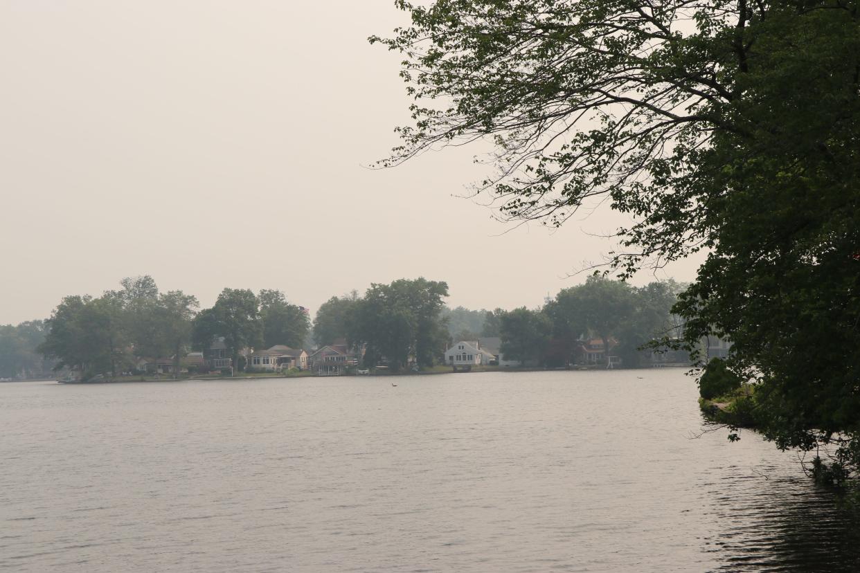
Wind has carried smoke from the fires southward, triggering air quality alerts throughout the United States - including in parts of New Jersey.
The New Jersey Department of Environmental Protection has issued a "code red" air quality alert until midnight Thursday. An air quality advisory means air quality in the region may approach or exceed unhealthy standards.
The alert covers Sussex, Warren, Morris, Hunterdon, Somerset, Middlesex, Western Monmouth, Eastern Monmouth, Mercer, Salem, Gloucester, Camden, Burlington, Ocean, Cumberland, Atlantic and Cape May counties.
The National Weather Service warned “sensitive groups” such as older adults, children and those with preexisting respiratory conditions like asthma to limit prolonged or strenuous outdoor activity.
Air pollution increases the risk of respiratory infections, heart disease and lung cancer, according to the World Health Organization.
Wildfires impact New Jersey Live updates and what you need to know as smoke continues to cloud New Jersey Wednesday
Schools closed: NJ schools closing early, limiting outdoor time due to unhealthy air quality from smoke
NJ air quality map
NJ wildfire, smoke map
This article originally appeared on NorthJersey.com: New Jersey air quality: Map shows NJ wildfire, smoke locations

