John Smith's voyage began the European invasion of Chesapeake Bay region
“The wind and waters so much increased,” Capt, John Smith (of Pocahontas fame) wrote in his memoirs, “with thunder, lightning, and rain that our mast and sail blew overboard and such mighty waves over-racked us in that small barge that with great labor we kept her from sinking by [bailing] out the water.”
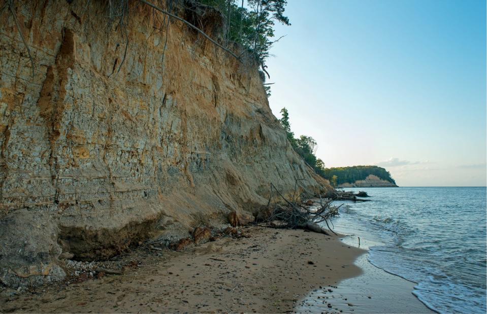
On June 2, 1608, Smith and 14 other colonists boarded a small boat in Jamestown, the first permanent English colony in North America. Smith led the colonists down the James River and across the Chesapeake Bay, where he encountered a fierce thunderstorm that nearly sank his small boat.
Smith survived the storm, and he entered a river that he called the “Kuskawaroak,” now known as the “Nanticoke.”
Writing in the Sunshine 1987 edition of the Heartland of Del-Mar-Va magazine, Little Owl (Charles C. Clark IV) commented “(The Nanticoke) name is an anglicized version of one of the many names our people have gone by over the years. It is believed that our name was once ‘Kuskawaroak.’”
The name “Nanticoke” was also applied to people living in the land that stretched from the river that bears their name across the peninsula to the ocean in the vicinity of Bethany Beach.
The Kuskawaroak (Nanticokes) were living between the Nanticoke River and the Indian River in 1492, when the first voyage of Christopher Columbus initiated the European invasion of America. During the next 100 years, the Spanish established settlements in Florida, and France was active in Canada; but most of the North American continent including the Delmarva Peninsula remained unexplored by Europeans until Smith’s voyage in 1608.
As Smith made his way up the Nanticoke River, he was spotted by the Native Americans, who traded with tribes far beyond the Delmarva Peninsula. They may have heard stories about the fair-skinned people who had been moving onto tribal lands as if it were their own, and they did not take kindly to the appearance of the English colonists.
According to Smith, “The people ran as amazed in troops from place to place, and divers got into the tops of trees, they were not sparing of their arrows, nor the great passion they could express of their anger. Long they shot, we still riding at an anchor without [beyond] their reach making all the signs of friendship we could.”
Smith retreated down the Nanticoke River to the Chesapeake Bay, where he continued to explore the bay’s tributaries before returning to Jamestown. Eventually, Smith sailed home to England, where he published an account of his adventures in America, including an account of his voyage up the Nanticoke River.
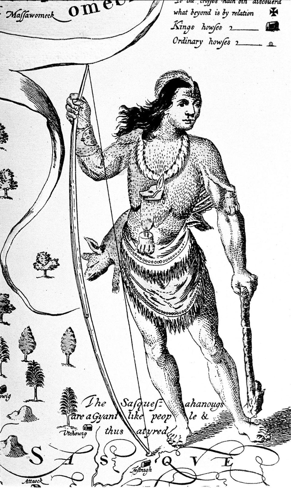
In addition, he drew a map that included the serpentine course of the river as it winds its way from the Chesapeake Bay to southern Delaware. It is not clear how far up the river Smith traveled, but it is believed that he traveled as far as Broad Creek, and he may have journeyed as far as the Seaford area.
In the ensuing years, other colonists would retrace Smith’s route to settle in Sussex County, where they cleared the forests and planted tobacco, corn and other grains. The European settlers were scattered throughout the region, but as their numbers grew, they soon outnumbered the Nanticoke.
The displacement of the Native Americans from their ancestral lands in southern Delaware was part of a larger pattern that was repeated across the Chesapeake region. It was an invasion that began with John Smith’s voyage through thunder and lightning.

Principal sources
John Smith, The Generall Historie of Virginia, New England and The Summer Isles, Glasgow, John MacLehose and Sons, 1907, pp. 117-118.
Little Owl (Charles C. Clark IV), The Nanticoke, Heartland of Del-Mar-Va, Sunshine, 1987, p. 31.
SHORE SPECTACLE: Thousands of snow geese on Eastern Shore a spectacular sight
PRESERVING HISTORY: Discovering, sharing Delaware history, from the celebratory to the complicated and difficult
This article originally appeared on Salisbury Daily Times: John Smith's voyage began the European invasion of Chesapeake region

