'This is just the appetizer': More snow expected Friday afternoon
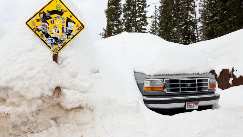
It's nearly April, but the Wasatch Front is preparing for another winter storm that is expected to drop between 1 and 4 inches of snow in the valleys through Friday evening.
Commuters in Salt Lake County were hit with heavy, blowing snow early Friday, and the National Weather Service issued a snow squall warning for most of the county. Bangerter Highway was closed in both directions at 4700 South just before 9 a.m., according to the Utah Department of Transportation. Officials didn't say how long the closure will last.
Although the "20-minute quick hitter" was beginning to slow in some places by 8:30 a.m., the weather service warned that more snow is expected around noon.
"The snow is beginning to lighten, but this is just the appetizer, folks," NWS Salt Lake City tweeted. "The cold front is now pushing into Wendover where snowfall rates are even heavier. Expect this second band of snow to move in (around) noon."
Heavy snow careening through the Wasatch Front, take caution while driving! #utwx pic.twitter.com/2xkBgz2579
— NWS Salt Lake City (@NWSSaltLakeCity) March 24, 2023
Most of the Wasatch Front, between Logan and Nephi, is under a winter storm warning through Friday evening. Valley snow accumulation is expected to be between 1 and 4 inches, though, the benches and Cache Valley could see as much as 8 inches.
Wind gusts up to 40 mph are expected near and behind the cold front Friday morning, according to the National Weather Service.

