Severe storm, damaging winds cause Knoxville power outages but no tornado confirmations
UPDATE: A preliminary report from the National Weather Service says an F2 tornado touched down in western Knox County. Read the latest.
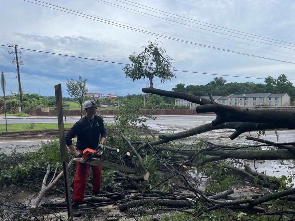
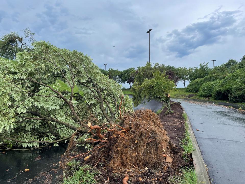
The dangerous storm passing through Knox County and East Tennessee caused lots of power outages and wind gusts of 60 miles per hour Aug. 7, but no confirmed tornadoes. Trees were downed and buildings were damaged throughout the region, especially in western Knox County.
A National Weather Service spokesperson said just before 3 p.m. it had received reports of damage but no tornado confirmations in Knox County. Radar indicated strong wind gusts in the Karns area, a spokesperson said.
The storm damage appeared to be mainly centered around Lovell Road and Pellissippi Parkway, said Rural Metro Fire spokesperson Jeffrey Bagwell. Only minor injuries were reported.
Knoxville Public Service Director Chad Weth said his crews responded to reports of about 70 downed trees.
"For a 15- to 20-minute storm, that was pretty significant," he said.
Knoxville Fire Department spokesman Mark Wilbanks said crews were dealing with downed power lines and damaged trees throughout the city.
"Thankfully, no one has been injured," he said. Knoxville crews helped out at Lovell Crossing Apartments, which sustained damage.
The Weigel's gas station at 1000 North Cedar Bluff Road sustained major damage to the canopy over the gas pumps, said Weigel's President Doug Yawberry.
"There was no damage to the building or the sign," Yawberry said. "Fortunately, no one was in the store or the lot. The employees went to the back to seek shelter."
The Knoxville Police Department warned traffic signals were out at several intersections, including Kingston Pike and Seven Oaks Drive, Kingston Pike and Winston Road, and Blount Avenue and Kay Street.
Due to storm damage, Loudon High School will be closed Tuesday, Aug. 8. All other Loudon County Schools will be open. pic.twitter.com/KsJV5tXSAO
— LoudonCounty Schools (@loudoncountysch) August 7, 2023
Loudon High School will be closed Aug. 8 because of severe damage at the building. Other Loudon schools will open as usual.
The National Weather Service office in Morristown issued the tornado watch for more than 50 counties ahead of stormy weather that moved into the region.
The National Weather Service office in Morristown was predicting calmer weather for Aug. 8, with partly sunny skies and 84 degrees, but then a return to possible showers and thunderstorms each day through the rest of the week.
What is a tornado watch vs. warning
Know Your Knox: Do the Great Smoky Mountains really protect Knoxville from tornadoes?
What is the difference between a tornado watch and a tornado warning issued by the National Weather Service?
A tornado watch means residents of the specified area should be prepared because tornadoes are possible in and near the watch area. People should be ready to act quickly if a warning is issued or if they suspect a tornado is approaching, according to the NWS website. Watches are issued by the Storm Prediction Center for counties where tornadoes might occur, and typically include multiple counties or states.
A tornado warning means residents should take action immediately and seek shelter, because a tornado has been sighted or indicated by weather radar, threatening imminent danger to life and property. Warnings are issued by the local forecast office and typically encompass a much smaller area, such as a city or county, that might be impacted by a identified tornado, according to the NWS.
Severe thunderstorm watches and warnings from the NWS are defined similarly: a watch indicates storms are possible in the area, and a warning that severe weather has been been identified in a particular area.
This article originally appeared on Knoxville News Sentinel: Knoxville weather: East Tennessee under a tornado watch until 7 p.m.

