Lake effect snow affects Monday morning commute; some school districts delay start
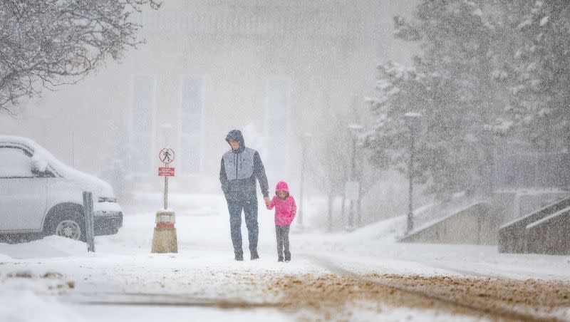
Sunday night's lake effect snow carried on into Monday, affecting the morning commute along parts of the Wasatch Front.
The Ogden, Weber, Davis and Morgan school districts, Ascent Academy Farmington and Weilenmann School of Discovery in Park City are delaying the start of school by two hours Monday morning due to weather. Weber State University is closed until 10 a.m.
Slick road conditions made driving difficult, especially in Davis County, the KSL Traffic Center said.
This is probably the 5th slide off we’ve seen in less than 1.5 hours of driving. Stay in your car and stay safe.
I’ve seen people fishtail trying to merge onto the freeway. Snowing so much it seems the plows can’t keep up. @KSL5TV pic.twitter.com/h9eiPFW2Cn— Shelby Lofton (@newswithShelby) March 27, 2023
With temperatures dropping and snow falling, the lake effect was set to drop another 1-3 inches of snow Sunday night, which could affect driving conditions for portions of Weber, Davis, Salt Lake and Tooele counties, according to the National Weather Service in Salt Lake City. And there is a 65% chance that snow will impact drivers Monday morning as well.
Lake effect snow is produced when a cold air mass moves across a warmer body of water such as a lake. As the cool air moves across the warm water, the water vapor from the lake freezes and rises through the cold air which is then deposited on the shores producing snow.
The main forecast challenges are where the band of snow will develop and how long it will remain where it is deposited. As of now, the current indications show that the lake effect snow will band from Ogden to Tooele, the weather service said.
There is medium chance of more accumulating snow late tonight across all of northern Utah which could deliver another 1-3". Additionally, there is a 65% chance of lake effect snow early Monday morning SE of the GSL impacting the morning commute with more accumulating snow. #utwx pic.twitter.com/QEl909Cou7
— NWS Salt Lake City (@NWSSaltLakeCity) March 26, 2023
Saturday saw Alta Ski Area reach its all-time snowiest season on record, and Snowbasin followed suit on Sunday.

