Lake-effect winter storm expected to bring in white Christmas for South Bend area
SOUTH BEND — Michiana residents hoping for a white Christmas will get their wish and more as a combination of system and lake-effect snow is set to move in toward the end of the week.
The National Weather Service Northern Indiana is calling for a "high impact" winter storm, bringing in heaviest snow accumulation from late Thursday night through Friday night.
Couple this snow with gusty winds approaching 50 mph and dropping temperatures and meteorologists are calling for near-blizzard situations that will be followed with lake-effect snow through the Christmas weekend.
Amos Dodson, meteorologist with the NWS Northern Indiana office, said Monday afternoon that although it was too early to tell which areas will see the most snow, all areas in northcentral Indiana should expect some snow and high winds.
"For Saturday and Sunday, the lows will be in the single-digits, with highs during the day around 15," Dodson said. Coupled with the high winds, he added, the wind chills when the Arctic air moves in Friday morning will be in the -10 to -20 degree range.
More: Be ready for winter'Potential blockbuster' snowstorm brewing in central, eastern states ahead of Christmas
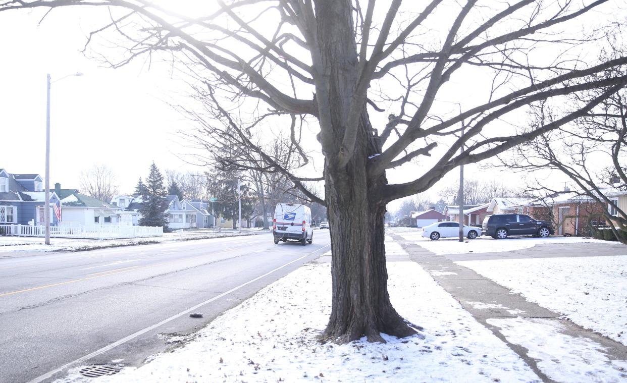
Historical data shows South Bend has just over a 40% chance of having snow on the ground for Christmas day. But if there is snow on Christmas this year, with temperatures expected to stay below freezing, that snow is likely to stay on the ground through the holiday season.
“We are thinking it’s going to be a white Christmas,” said Michael Skipper, a meteorologist with the northern Indiana branch of the NWS.
Skipper said it’s too early to give precise predictions on snowfall amounts, but he is confident a system of cool air moving into the area will bring accumulation of lake-effect snow that could continue beyond Christmas through the end of the year.
Christmas events:Even with labor shortages, there are still dining options around South Bend on Christmas
“The lakes have cooled down from when we had the big November event, but they’re still going to be ice-free, which should be sufficient to get lake effect snow,” Skipper said.
Travel impact
Though the prospect of a white Christmas is exciting for many, winter weather caused havoc for motorists across Michiana over the past weekend and figures to impact travel ahead of the holiday.
Skipper said most areas of the region got between a half inch to two inches of snow, but with surface temperatures barely below freezing, the snow began melting as cars drove over it, which led to patches of ice on most major roads.
From 5 to 8 p.m. Friday, the St. Joseph County 911 center said dispatchers received 562 calls for service as first responders delt with numerous accidents. For the 24-hour period from Friday evening into Saturday morning, the center handled 600 more calls than it normally does.
“You have surface temperature a little below freezing and people are just driving too fast for the conditions,” Skipper said.
Travel figures to be difficult later in the week as well, with snow accumulation, high winds and cold temperatures expected for Friday and Saturday.
Tribune reporter Greg Swiercz contributed to this report.
Email Marek Mazurek at mmazurek@sbtinfo.com. Follow him on Twitter: @marek_mazurek
This article originally appeared on South Bend Tribune: Meteorologists anticipate white Christmas for South Bend area

