Live: Roads across Wisconsin slippery, snow and ice-covered; Some flights canceled, delayed at regional airports
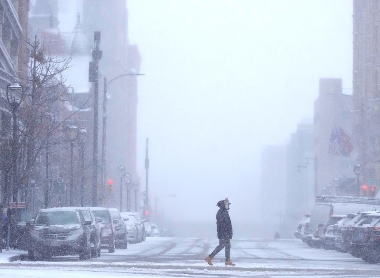
The first wave of a major winter storm is expected to reach Wisconsin Tuesday evening and linger through Thursday, according to the National Weather Service. Almost the entire state, except for a few counties near the Illinois border, is expected to see heavy snow and high winds, with some areas potentially getting over a foot.
Follow along with our live coverage of the storm.
11:15 a.m.: Some flights canceled, delayed at regional airports
Appleton Regional Airport (ATW) and Austin Straubel Airport (GRB) in Green Bay are experiencing disruptions to their regularly scheduled flights.
All but three of the 18 scheduled flights arriving and departing Green Bay have been rescheduled, delayed or canceled.
In Appleton, nearly a third of all flights have been canceled, and several were delayed or shifted. These canceled flights include all evening arrivals on United Airlines from Chicago, Denver and Fort Worth.
− Rebecca Loroff
Wednesday weather updates: 23 million Americans under winter storm warnings as blizzards barrel across Midwest, West
10:45 a.m.: I-94 West re-opens; Graupel is falling. What exactly is that?
Graupel is falling in parts of southern Wisconsin, creating dangerous road conditions.
A combination of sleet and freezing rain, graupel looks like small snow pellets that are created when snow falls through a warmer column of air and melts.
According to the National Weather Service, graupel is rare because after the snow melts in the warm air column it needs cooler ground temperatures to help it refreeze on contact.
This process creates a dangerous snow pellet that can both accumulate and affect traction, and also melt and refreeze to create ice that will also affect traction or add weight to infrastructure.
“Freezing rain like this is really the worst wintertime condition you can have because it can cause a lot of dangerous outcomes,” said Paul Collier, an NWS meteorologist.
Graupel and freezing rain can also be dangerous because it adds weight to trees and power lines which can cause them to break or fall.
Collier said areas along, and under, the I-94 corridor are most likely to be affected by graupel and freezing rain today and tomorrow.
− Beck Andrew Salgado
9:45 a.m.: 15 miles of Interstate 94 West near Eau Claire closed
The westbound lane between US-10 and US-53 is closed as of 9:20 a.m. due to a crash. The closure begins outside city of Osseo, Wis. and is about 15 miles long.
The suggested alternate route is westbound on US-10, then northbound on US-53. No information was given on when the closure might be lifted.
Most major highways throughout the state are affected by weather, with icy roads south of Milwaukee and Madison, snow-covered roads in a band from La Crosse to Waupun, and slippery stretches almost everywhere else.
− Rebecca Loroff
8:45 a.m.: Tow ban issued in Outagamie County
At around 8:45 a.m. Wednesday, the Outagamie County Sheriff's Office issued a tow ban for Interstate 41 and State 441 due to heavy snow and high winds. That means stranded vehicles will not be removed until the ban is lifted. The sheriff did not issue an end time for the ban.
The state Department of Transportation says that roads across Wisconsin are either slippery, snow-covered or ice covered as of 9:30 a.m.
Slippery conditions or snow-covered roads are reported on all of I-94 from the Illinois border to the Minnesota border.
I-43 has ice-covered roads from Milwaukee to Mukwonago and going north the highway is mostly seeing slippery conditions.
No major accidents have been reported as of 9:30 a.m.
8:15 a.m.: 8 to 16 inches of snow expected in northern Wisconsin
The National Weather Service has issued winter storm warnings across Wisconsin for Wednesday afternoon and evening into Thursday. For many counties, this includes wind gusts of around 40 miles per hour and heavy snow, which will make travel "very difficult to impossible" and create "near blizzard" and "whiteout" conditions, especially in rural areas.
Warnings are already in effect until noon Thursday for Taylor, Clark, Trempealeau and Jackson Counties, which could see as much as a foot of snow by the end of Thursday.
Further north, near the cities of Rhinelander, Antigo, Wausaukee, Merrill and Peshtigo, the winter storm warning lasts from 6 p.m. Wednesday to 6 p.m. Thursday. These areas are forecast to receive 9 to 12 inches of snow. Bayfield and Ashland Counties are under a blizzard warning during that same time and could see as much as 16 inches.
In northeast Wisconsin, the winter storm warning begins at 3 p.m. Wednesday and lasts until 6 p.m. Thursday. Counties affected include Menominee, Door, Marathon, Shawano, Wood, Portage, Waupaca, Outagamie, Brown, Kewaunee and southern Oconto County. These counties are forecast to receive between 8 to 11 inches of snow.
Further south, in Marquette, Green Lake, Fond du Lac and Sheboygan Counties, the warnings are already in effect until noon Thursday and include 6 to 10 inches of snow with the possibility of a "light glaze" of ice.
− Rebecca Loroff
8 a.m.: 73 flights canceled so far from Milwaukee Mitchell International Airport
Mitchell International Airport has had 52 flight cancellations by various airlines before 7:30 A.M. today. It had just two cancelations on Tuesday.
Despite the cancellations, airport officials said they have deployed multiple teams that will help keep runways and planes in working condition.
Harold Mester, director of public affairs at Mitchell, said that while cancellations are likely due to weather, they may not be because of the conditions in Milwaukee.
“Cancellations could be due to weather in other cities and oftentimes airlines don’t want planes stranded in certain cities if the weather gets worse,” said Mester.
Airport officials said the airport plans to stay open all day today, with the exception of periods when they have to work on parts of the runway to meet FAA requirements.
− Beck Salgado
7:30 a.m.: Several major school districts across Wisconsin are closing for weather, Milwaukee Public Schools remains open
While Appleton, Green Bay and Milwaukee public school districts remained open for Wednesday, several major school districts across the state canceled classes:
Burlington
Menomonee Falls
Waukesha
Germantown
Muskego
Fond du Lac
Oshkosh
Madison
Wausau (closed through Thursday)
Stevens Point (closed through Thursday)
Wisconsin Rapids (closed through Thursday)
Waukesha and Washington county campuses of University of Wisconsin-Milwaukee
South Milwaukee will have early release Wednesday.
The following school districts have moved to virtual learning:
Elmbrook
− Rebecca Loroff and Beck Salgado
More:How do Milwaukee and Waukesha school districts decide to cancel school?
7:20 a.m.: Wednesday's forecast predicts freezing rain, sleet in southern Wisconsin with snow north of Milwaukee
A wintry mix is expected to start mid-morning in southern Wisconsin with freezing rain turning to sleet as you go west toward Madison. North of the Milwaukee area is still expecting snow, and a lot of it.
Once the freezing rain and sleet moves in, the worry turns to road conditions, trees and power outages. Winter Storm and Ice Storm Warnings went into effect for southern Wisconsin about an hour ago.
Forecasters now expect between 0.25" and 0.50" of ice for the southernmost parts of Wisconsin. There will then be the potential for 2-plus inches of sleet around the I-94 corridor from Milwaukee to Madison.
National Weather Service Meteorologist, Andy Boxell, expressed worries about potential road hazards that could arise on the I-94 corridor that is expected to see 1-2 inches multiple sleet this afternoon.
“I don't want people to be misled when they see just a couple of inches of sleet,” said Boxell, “that's very, very different than a couple of inches of snow and I would certainly expect some pretty significant travel impacts because of that.”
− Beck Salgado
7:15 a.m.: First wave of two-day storm drops up to 3 inches on northern counties, just a dusting in southern Wisconsin
Northern Wisconsin received a few inches of snow Tuesday night in the first wave of a storm expected to affect most of the state for the next two days.
Spotters observed snowfall in the following communities:
Appleton: 3 inches
Plover: 3.6 inches
Schofield: 2 inches
Eau Claire area: 1.9 inches
La Crosse area: 2.5 inches
Ashwaubenon: 2.7 inches
Rhinelander: 2.5 inches
Further south, communities like Fond du Lac, Sheboygan, Milwaukee and Madison got no more than a dusting.
As of Wednesday morning, most major roads north of Milwaukee and Madison had slippery stretches or were covered with ice and snow, according to 511wi.gov.
Most of the state is under a Winter Storm Warning from Wednesday morning to Thursday morning, except for counties along the Wisconsin-Illinois border. Those counties, which include Racine, Kenosha and Walworth Counties, are under an ice storm warning.
- Rebecca Loroff
This article originally appeared on USA TODAY: Live: Some flights canceled, delayed at regional airports

