Severe storm watch in Dallas-Fort Worth, tornado watch in Central Texas end Friday night
A severe thunderstorm watch that was in effect for the Dallas-Fort Worth area, including Tarrant and Dallas counties, ended at 8 p.m. Friday.
A severe storm warning was issued just after 4 p.m. that was in effect until 5 p.m. for southeastern Tarrant County, northern Johnson County, Dallas County and northwestern Ellis County. At 4:02, the storm was located over Keene, moving northeast at 45 mph. Dime to quarter sized hail was reported near Arlington, Mansfield and Keene, according to the National Weather Service.
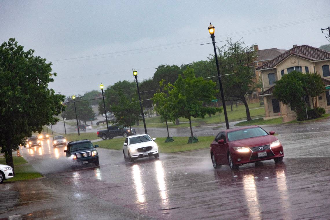
The severe thunderstorm warning was followed by a flood warning in the same area that was in effect until 8:15 p.m. Doppler radar indicated heavy rain due to thunderstorms.
A tornado watch was in effect for Central Texas counties south of the Metroplex, also until 8 p.m.
Large hail, damaging winds and tornadoes were all possible with Friday’s storms, according to the National Weather Service in Fort Worth.
Hail greater than 3 inches in diameter — about baseball or apple size — was expected to be possible in some areas.
Weather watches and warnings
A live data feed from the National Weather Service containing official weather warnings, watches, and advisory statements. Tap warning areas for more details. Sources: NOAA, National Weather Service, NOAA GeoPlatform and Esri.
A Tornado Watch has been issued for portions of Central TX until 8PM this evening. A Severe Thunderstorm Watch has been issued for portions of North TX until 8PM this evening. Large hail, damaging winds, and tornadoes will all be possible. Stay weather aware through this evening! pic.twitter.com/i5ik0LUIxm
— NWS Fort Worth (@NWSFortWorth) April 28, 2023
The greatest severe threat was in the area south of Interstate 20 along the I-35 corridor, where baseball-size hail, wind damage, and a couple tornadoes were possible in the forecast, according to the weather service.
Across the DFW metro area, there was mainly a large hail threat.
Final severe weather forecast update before storms fire ~2pm. The greatest severe threat is the area south of I-20 along the I-35 corridor where baseball size hail, wind damage, and a couple tornadoes are expected. Across the DFW Metro, mainly a large hail threat. #dfwwx #ctxwx pic.twitter.com/D7pSzpUeld
— NWS Fort Worth (@NWSFortWorth) April 28, 2023
Storm Reports
This map contains continuously updated storm reports and damage from the National Weather Service for the past 48 hours. Reports include tornado, wind storm and hail storm reports. The map also includes tornado reports for the past week and recent rainfall accumulations. Sources: National Oceanic and Atmospheric Administration (NOAA), Esri.
Additional scattered thunderstorms and rain were expected Friday night behind the main line of storms. Lightning will be the primary threat with any later storms.
3-Day Storm Outlook
This map shows the 3-day weather outlook for storms by the National Weather Service's Storm Prediction Center. Sources: National Weather Service, Esri.
School activities
Fort Worth ISD canceled all outdoor athletic events Friday night. Rescheduled games will be announced by coaches.
The after-school program on Friday also was canceled.
Fort Worth ISD planned to follow regular dismissal procedures but said that bus routes might be delayed. School district officials encouraged families to plan ahead and allow extra time for Friday afternoon’s commute.
Weekend and next week forecast
Cooler weather is expected behind the front on Saturday with rain ending in the late morning or early afternoon hours. Dry and seasonable weather conditions are expected into early next week, according to the weather service.
Cooler weather is expected behind the front on Saturday with rain ending in the late morning or early afternoon hours. Dry & seasonably weather conditions are expected into early next week. #dfwwx #ctxwx pic.twitter.com/Y2TuYDMmOk
— NWS Fort Worth (@NWSFortWorth) April 28, 2023
There is expected to be a slight chance of thunderstorms across the region on Thursday.
Current Temperatures
Current temperatures and weather data from NOAA weather stations updated hourly. Tap on the map for current weather conditions, including humidity, wind speed. and direction. Data provided by NOAA and Esri.

