Manitowoc County 1878 atlas showed the number of horses, carriages, watches and pianos in the county
Maps and atlases have a lot of history to tell. One of my favorite local maps is G.V. Nash’s "An Illustrated Historical Atlas of Manitowoc County," published in 1878.
In early 1878, G.V. Nash began canvassing and preparing a county atlas, used mostly by municipal, town and county clerks, real estate agents and the business and farm community.
On June 13, 1878, The Manitowoc Pilot newspaper reported G.V. Nash was meeting with unexpected success throughout the county and remarked, “It will certainly be a very desirable work for every resident of the county to possess.”
By the end of October, the atlas was about completed, with copies soon to be delivered to subscribers.
The Pilot, which printed the atlas, boldly claimed it was “a very superior work, and perhaps the best ... of any county atlas in the state," adding “It is a work that should be in every school district in the county.”
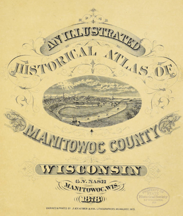
The 80-page atlas measured 18 inches by 14-1/2 inches and had a durable hardcover. The atlas showed the township and range grid, landowner names and acreage, roads, rivers, streams, schools, railroads and carefully drawn maps of cities, villages and towns. It also contained business, patron and post office directories, illustrations of local buildings and tables on population, interest rates of 6%, 7%, 10% and 12%, and weekly wages of $3-$24 based on 10-hour days and six-day work weeks.
Tables of personal and property values from assessment rolls are particularly informative. In 1878, Manitowoc County contained 8,387 horses, 16,693 sheep and lambs, and 9,582 swine; 7,172 wagons, carriages and sleighs; 124 gold and silver watches; and 137 pianos.
The 1878 atlas printed lists of Manitowoc County and court officers since 1848, members of the Wisconsin State Assembly and senators from Manitowoc, the presidential vote in Manitowoc County for 1868, 1872 and 1876, and the gubernatorial vote for five elections from 1869 to 1877.
The atlas also contained the first published history of the county and towns, compiled by John Nagle, editor of The Pilot, as well as a brief "Territorial History of Wisconsin."
Born in 1849 in New York, Garret Van Bergen Nash was the son of Francis and Catharine Van Bergen (Curtis) Nash. In 1851, the family moved to Wisconsin, settling on a farm in the town of La Prairie near Janesville in Rock County. Garret moved to Manitowoc, and in 1871 he was a teacher at the Manitowoc Rapids school.
More: Manitowoc monument honors this prominent early educator, philosopher and newspaper editor

During the 1870s, G.V. Nash actively compiled and published county maps. In 1873, he assisted E.M. Harney compile maps of Racine, Kenosha and Winnebago counties. Harney published a wall map of Manitowoc County in 1872. Nash collaborated with others on maps of Washington and Ozaukee (1874), Juneau and Portage (1876) and Pierce (1878) counties. Nash & Morgan’s Sectional Map of Wisconsin was published in 1878.
In 1878, G.V. Nash became a grain dealer at Clintonville. Two years later, he entered the lumbering business and moved to Michigan, then Arkansas, where he died in 1923.
Throughout his life, G.V. Nash returned to Wisconsin to visit his three brothers, Lyman and Edwin, lawyers in Manitowoc, and William, editor of the Two Rivers Chronicle.
Bob Fay is a historian and former executive director of the Manitowoc County Historical Society.
This article originally appeared on Manitowoc Herald Times Reporter: Manitowoc County in 1878 had horses, carriages, gold watches, pianos

